614 Moore Rd Newnan, GA 30263
Estimated Value: $451,000 - $738,000
3
Beds
3
Baths
3,200
Sq Ft
$181/Sq Ft
Est. Value
About This Home
This home is located at 614 Moore Rd, Newnan, GA 30263 and is currently estimated at $579,480, approximately $181 per square foot. 614 Moore Rd is a home located in Coweta County with nearby schools including Poplar Road Elementary School, East Coweta Middle School, and East Coweta High School.
Ownership History
Date
Name
Owned For
Owner Type
Purchase Details
Closed on
Apr 30, 2021
Sold by
Helton Christopher K
Bought by
Pollitz Dana Wise and Pollitz Daniel August
Current Estimated Value
Home Financials for this Owner
Home Financials are based on the most recent Mortgage that was taken out on this home.
Original Mortgage
$434,340
Outstanding Balance
$391,943
Interest Rate
3.1%
Mortgage Type
New Conventional
Estimated Equity
$187,537
Purchase Details
Closed on
Mar 20, 1998
Bought by
Helton Chris K and Helton Mic
Purchase Details
Closed on
Jun 1, 1994
Bought by
Helton Chris K
Purchase Details
Closed on
Aug 19, 1993
Bought by
Helton Christopher K
Purchase Details
Closed on
Aug 1, 1990
Bought by
Helton Chris K and Helton Mel
Purchase Details
Closed on
Apr 11, 1990
Bought by
Neely Barbara W
Create a Home Valuation Report for This Property
The Home Valuation Report is an in-depth analysis detailing your home's value as well as a comparison with similar homes in the area
Home Values in the Area
Average Home Value in this Area
Purchase History
| Date | Buyer | Sale Price | Title Company |
|---|---|---|---|
| Pollitz Dana Wise | $482,600 | -- | |
| Helton Chris K | -- | -- | |
| Helton Chris K | -- | -- | |
| Helton Christopher K | -- | -- | |
| Helton Chris K | $44,500 | -- | |
| Neely Barbara W | $126,400 | -- |
Source: Public Records
Mortgage History
| Date | Status | Borrower | Loan Amount |
|---|---|---|---|
| Open | Pollitz Dana Wise | $434,340 |
Source: Public Records
Tax History Compared to Growth
Tax History
| Year | Tax Paid | Tax Assessment Tax Assessment Total Assessment is a certain percentage of the fair market value that is determined by local assessors to be the total taxable value of land and additions on the property. | Land | Improvement |
|---|---|---|---|---|
| 2025 | $3,879 | $164,190 | $54,119 | $110,071 |
| 2024 | $3,805 | $163,892 | $54,119 | $109,773 |
| 2023 | $3,805 | $143,200 | $49,651 | $93,549 |
| 2022 | $3,375 | $137,021 | $47,286 | $89,735 |
| 2021 | $3,142 | $124,024 | $47,286 | $76,738 |
| 2020 | $3,162 | $124,024 | $47,286 | $76,738 |
| 2019 | $2,768 | $99,387 | $38,611 | $60,776 |
| 2018 | $2,774 | $99,387 | $38,611 | $60,776 |
| 2017 | $2,582 | $92,875 | $38,611 | $54,264 |
| 2016 | $2,553 | $92,875 | $38,611 | $54,264 |
| 2015 | $2,513 | $92,875 | $38,611 | $54,264 |
| 2014 | $2,495 | $92,875 | $38,611 | $54,264 |
Source: Public Records
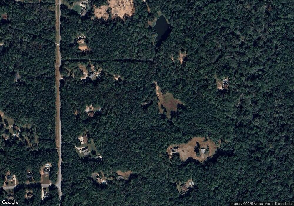
Map
Nearby Homes
- 465 Little Rd
- 0 Cannon Rd Unit 7627017
- 0 Cannon Rd Unit 10566028
- 2784 Martin Mill Rd
- 215 Grey Fairs Ave
- 92 Gordon Oaks Way
- 143 Ryeland Dr
- 4083 Highway 54
- 98 Ryeland Dr
- 136 Ryeland Dr
- 1948 Highway 16 E
- 1877 Highway 16 E
- 2725 Gordon Rd
- 2812 Highway 16 E
- 30 Linton Estates Ave
- 65 Oakhurst Trail
- 69 Oakhurst Trail
- 1495 Martin Mill Rd
- Bent Tree Court Lot: A-20
- 0 Bent Tree Ct Unit LOT A-20 10611800
- 739 Cannon Rd
- 612 Moore Rd
- 735 Cannon Rd
- 650 Moore Rd
- 630 Moore Rd
- 708 Moore Rd
- 604 Moore Rd
- 760 Moore Rd
- 610 Moore Rd
- 570 Moore Rd Unit A4
- 570 Moore Rd
- 786 Moore Rd
- 749 Cannon Rd
- 11 Cherokee Farms Dr
- 681 Cannon Rd
- 504 Moore Rd
- 777 Cannon Rd
- 520 Moore Rd
- 18 Cherokee Farms Dr
- 886 Moore Rd Unit Daylight Basement Ap