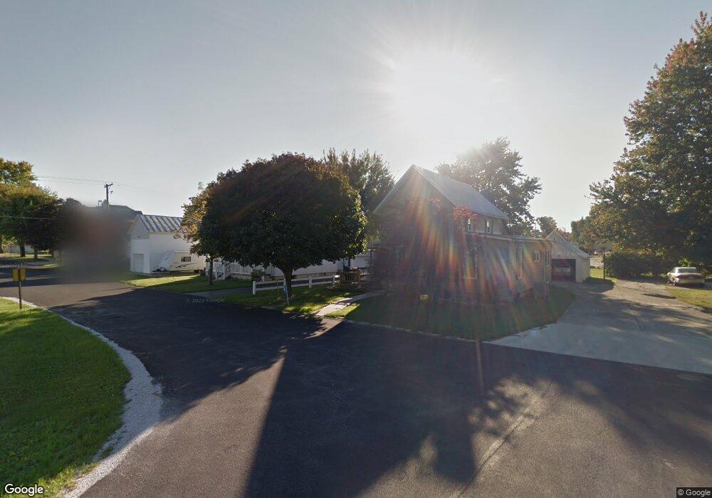
614 N Poplar St Tiffin, OH 44883
Estimated Value: $90,000 - $172,000
3
Beds
1
Bath
1,382
Sq Ft
$88/Sq Ft
Est. Value
About This Home
This home is located at 614 N Poplar St, Tiffin, OH 44883 and is currently estimated at $121,667, approximately $88 per square foot. 614 N Poplar St is a home with nearby schools including Fostoria Intermediate Elementary School and Fostoria Junior/Senior High School.
Ownership History
Date
Name
Owned For
Owner Type
Purchase Details
Closed on
Jun 29, 2004
Sold by
Clay Daniel
Bought by
Bimslager David G
Current Estimated Value
Purchase Details
Closed on
Aug 24, 2000
Bought by
Clay Daniel
Purchase Details
Closed on
Jan 20, 2000
Sold by
Layton Louis A
Bought by
Contimortgage Corporation
Purchase Details
Closed on
Jul 1, 1988
Purchase Details
Closed on
Sep 1, 1987
Purchase Details
Closed on
Apr 1, 1985
Create a Home Valuation Report for This Property
The Home Valuation Report is an in-depth analysis detailing your home's value as well as a comparison with similar homes in the area
Home Values in the Area
Average Home Value in this Area
Purchase History
| Date | Buyer | Sale Price | Title Company |
|---|---|---|---|
| Bimslager David G | $50,000 | -- | |
| Clay Daniel | $10,000 | -- | |
| Contimortgage Corporation | $10,000 | -- | |
| -- | $6,000 | -- | |
| -- | $30,000 | -- | |
| -- | $23,500 | -- |
Source: Public Records
Tax History Compared to Growth
Tax History
| Year | Tax Paid | Tax Assessment Tax Assessment Total Assessment is a certain percentage of the fair market value that is determined by local assessors to be the total taxable value of land and additions on the property. | Land | Improvement |
|---|---|---|---|---|
| 2024 | $1,111 | $20,060 | $5,490 | $14,570 |
| 2023 | $1,109 | $20,060 | $5,490 | $14,570 |
| 2022 | $971 | $15,440 | $4,740 | $10,700 |
| 2021 | $990 | $15,440 | $4,740 | $10,700 |
| 2020 | $994 | $15,439 | $4,739 | $10,700 |
| 2019 | $970 | $14,904 | $4,575 | $10,329 |
| 2018 | $987 | $14,904 | $4,575 | $10,329 |
| 2017 | $905 | $14,904 | $4,575 | $10,329 |
| 2016 | $838 | $13,931 | $4,841 | $9,090 |
| 2015 | $825 | $13,931 | $4,841 | $9,090 |
| 2014 | $790 | $13,931 | $4,841 | $9,090 |
| 2013 | $909 | $15,131 | $5,261 | $9,870 |
Source: Public Records
Map
Nearby Homes
- 540 N Poplar St
- 633 Maple St
- 220 E High St
- 827 Buckley St
- 321 Mcdougal St
- 711 Circle Dr
- 703 Glenwood Ave
- 520 N Union St
- 723 N Union St
- 931 N Union St
- 207 W Culbertson St
- 481 Beverly Dr
- 412 E Center St
- 892 N Countyline St
- 900 N Countyline St
- 203 N Union St
- 133 E South St
- 0 W South Route 12
- 1324 N Union St
- 429 S Town St
- 608 N Poplar St
- 618 N Poplar St
- 602 N Poplar St
- 626 N Poplar St
- 615 N Poplar St
- 590 N Poplar St
- 609 N Poplar St
- 617 N Poplar St
- 632 N Poplar St
- 619 N Poplar St
- 581 N Poplar St
- 578 N Poplar St
- 631 N Poplar St
- 577 N Poplar St
- 641 N Poplar St
- 642 N Poplar St
- 633 N Poplar St
- 575 N Poplar St
- 572 N Poplar St
- 648 N Poplar St