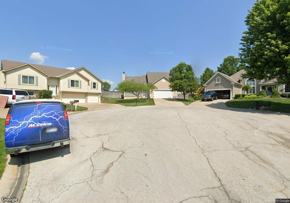
614 NW Silverstone Cir Grain Valley, MO 64029
Estimated Value: $321,000 - $362,000
4
Beds
3
Baths
1,884
Sq Ft
$180/Sq Ft
Est. Value
About This Home
This home is located at 614 NW Silverstone Cir, Grain Valley, MO 64029 and is currently estimated at $339,258, approximately $180 per square foot. 614 NW Silverstone Cir is a home located in Jackson County with nearby schools including Grain Valley High School.
Ownership History
Date
Name
Owned For
Owner Type
Purchase Details
Closed on
Nov 22, 2005
Sold by
Noyes Alan W and Noyes Audrey K
Bought by
Mustoe Philip C
Current Estimated Value
Home Financials for this Owner
Home Financials are based on the most recent Mortgage that was taken out on this home.
Original Mortgage
$140,800
Outstanding Balance
$77,241
Interest Rate
6.06%
Mortgage Type
Fannie Mae Freddie Mac
Estimated Equity
$262,017
Purchase Details
Closed on
Jun 11, 2004
Sold by
Bell Air Construction Inc
Bought by
Noyes Alan W and Noyes Audrey K
Home Financials for this Owner
Home Financials are based on the most recent Mortgage that was taken out on this home.
Original Mortgage
$134,320
Interest Rate
7.3%
Mortgage Type
Purchase Money Mortgage
Create a Home Valuation Report for This Property
The Home Valuation Report is an in-depth analysis detailing your home's value as well as a comparison with similar homes in the area
Home Values in the Area
Average Home Value in this Area
Purchase History
| Date | Buyer | Sale Price | Title Company |
|---|---|---|---|
| Mustoe Philip C | -- | Ctic | |
| Noyes Alan W | -- | Sucurity Land Title Company |
Source: Public Records
Mortgage History
| Date | Status | Borrower | Loan Amount |
|---|---|---|---|
| Open | Mustoe Philip C | $140,800 | |
| Previous Owner | Noyes Alan W | $134,320 | |
| Closed | Noyes Alan W | $33,580 |
Source: Public Records
Tax History Compared to Growth
Tax History
| Year | Tax Paid | Tax Assessment Tax Assessment Total Assessment is a certain percentage of the fair market value that is determined by local assessors to be the total taxable value of land and additions on the property. | Land | Improvement |
|---|---|---|---|---|
| 2025 | $4,480 | $51,008 | $7,055 | $43,953 |
| 2024 | $4,313 | $54,393 | $6,967 | $47,426 |
| 2023 | $4,313 | $54,393 | $6,711 | $47,682 |
| 2022 | $3,496 | $38,570 | $5,795 | $32,775 |
| 2021 | $3,415 | $38,570 | $5,795 | $32,775 |
| 2020 | $3,454 | $38,489 | $5,795 | $32,694 |
| 2019 | $3,384 | $38,489 | $5,795 | $32,694 |
| 2018 | $3,152 | $33,497 | $5,043 | $28,454 |
| 2017 | $3,152 | $33,497 | $5,043 | $28,454 |
| 2016 | $2,965 | $31,521 | $5,548 | $25,973 |
| 2014 | $2,843 | $30,005 | $5,537 | $24,468 |
Source: Public Records
Map
Nearby Homes
- 605 NW Silverstone Cir
- 1007 NW Long Dr
- 1211 NW Scenic Dr
- 1206 NW Baytree Dr
- 1208 NW Golfview Dr
- 1229 NW Ashley Dr
- 1235 NW Ashley Ln
- 708 Pavillion Dr
- 2609 NE Amanda Ln
- 2601 NE Wheatley Dr
- 621 Charlotte St
- 2613 NE Amanda Ln
- 2701 NE Crestview St
- 2700 NE Crestview St
- 2605 NE Crestview St
- 2601 NE Crestview St
- 2513 NE Wheatley Dr
- 1400 NW Burr Oak Ct
- 2512 NE Wheatley Dr
- 408 Front St
- 613 NW Silverstone Cir
- 612 NW Silverstone Cir
- 961 NW Baytree Dr
- 1001 NW Baytree Dr
- 611 NW Silverstone Cir
- 1003 NW Baytree Dr
- 610 NW Silverstone Cir
- 959 NW Baytree Dr
- 957 NW Baytree Dr
- 609 NW Silverstone Cir
- 608 NW Silverstone Cir
- 704 NW Albatross Dr
- 702 NW Albatross Dr
- 955 NW Baytree Dr
- 960 NW Baytree Dr
- 1002 NW Baytree Dr
- 956 NW Baytree Dr
- 1104 NW Sawgrass Dr
- 607 NW Silverstone Cir
- 958 NW Baytree Dr