614 St Andrews Dr Unit 27 Midway, UT 84049
Estimated Value: $896,452 - $1,228,000
4
Beds
3
Baths
3,568
Sq Ft
$312/Sq Ft
Est. Value
About This Home
This home is located at 614 St Andrews Dr Unit 27, Midway, UT 84049 and is currently estimated at $1,114,863, approximately $312 per square foot. 614 St Andrews Dr Unit 27 is a home located in Wasatch County with nearby schools including Midway Elementary School, Rocky Mountain Middle School, and Wasatch High School.
Ownership History
Date
Name
Owned For
Owner Type
Purchase Details
Closed on
Jul 12, 2021
Sold by
Carlson Uttal Cherie
Bought by
Uttal Cheric Carlson and The Cherie Carlson Uttal Trust
Current Estimated Value
Purchase Details
Closed on
Jan 19, 2021
Sold by
Mannos Dean G and Mannos Gail C
Bought by
Uttal Cherie Carison
Home Financials for this Owner
Home Financials are based on the most recent Mortgage that was taken out on this home.
Original Mortgage
$1,095,000
Interest Rate
2.36%
Mortgage Type
Reverse Mortgage Home Equity Conversion Mortgage
Purchase Details
Closed on
Jun 22, 2016
Sold by
Cervino Developers Inc
Bought by
Mannos Dean G and Mannos Gail C
Purchase Details
Closed on
Sep 9, 2011
Sold by
Uhbc Inc
Bought by
Reset Midway Llc
Create a Home Valuation Report for This Property
The Home Valuation Report is an in-depth analysis detailing your home's value as well as a comparison with similar homes in the area
Home Values in the Area
Average Home Value in this Area
Purchase History
| Date | Buyer | Sale Price | Title Company |
|---|---|---|---|
| Uttal Cheric Carlson | -- | None Available | |
| Uttal Cherie Carison | -- | Metro National Title | |
| Mannos Dean G | -- | First American Title Insuran | |
| Cervino Developers Inc | -- | First American Title Insuran | |
| Reset Midway Llc | -- | Metro National Title | |
| Reset Midway Llc | -- | Metro National Title |
Source: Public Records
Mortgage History
| Date | Status | Borrower | Loan Amount |
|---|---|---|---|
| Previous Owner | Uttal Cherie Carison | $1,095,000 |
Source: Public Records
Tax History Compared to Growth
Tax History
| Year | Tax Paid | Tax Assessment Tax Assessment Total Assessment is a certain percentage of the fair market value that is determined by local assessors to be the total taxable value of land and additions on the property. | Land | Improvement |
|---|---|---|---|---|
| 2025 | $1,190 | $1,145,005 | $300,000 | $845,005 |
| 2024 | $847 | $926,025 | $150,000 | $776,025 |
| 2023 | $847 | $926,025 | $150,000 | $776,025 |
| 2022 | $5,107 | $926,025 | $150,000 | $776,025 |
| 2021 | $6,773 | $522,000 | $100,000 | $422,000 |
| 2020 | $3,842 | $522,000 | $100,000 | $422,000 |
| 2019 | $3,514 | $287,100 | $0 | $0 |
| 2018 | $3,514 | $287,100 | $0 | $0 |
| 2017 | $3,535 | $287,100 | $0 | $0 |
| 2016 | $1,262 | $100,000 | $0 | $0 |
| 2015 | $600 | $50,000 | $50,000 | $0 |
| 2014 | $624 | $50,000 | $50,000 | $0 |
Source: Public Records
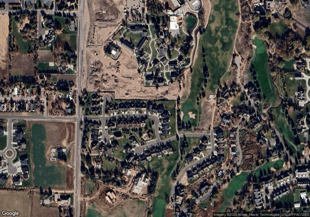
Map
Nearby Homes
- 447 N Fairway Dr
- 116 E Hampton Dr Unit 4
- 741 Bigler Ln
- 747 Bigler Ln Unit 4
- 747 Bigler Ln
- 404 Cottage Creek Ct
- 757 Bigler Ln
- 520 Pine Canyon Rd
- 836 N Pinehurst Dr
- 550 Pine Canyon Rd
- 879 Schonerberg Loop Unit 36
- 881 W Schonerberg Loop Unit 35
- 798 W 800 N Unit 8
- 840 W Bigler Unit 1033
- 840 W Bigler Unit 1012
- 840 W Bigler Unit 341
- 840 W Bigler Unit 3019
- 670 W 200 N
- 840 Bigler Ln Unit 1010
- 840 Bigler Ln Unit 3008
- 614 St Andrews Dr
- 620 St Andrews Dr
- 612 St Andrews Dr
- 629 St Andrews Dr Unit 25
- 610 St Andrews Dr
- 610 St Andrews Dr Unit 29
- 632 St Andrews Dr
- 632 St Andrews Dr
- 632 St Andrews Dr Unit 22
- 604 St Andrews Dr
- 604 St Andrews Dr Unit 30
- 635 St Andrews Dr
- 635 St Andrews Dr Unit 24
- 600 St Andrews Dr
- 600 St Andrews Dr Unit 34
- 600 St Andrews Dr Unit 31
- 640 St Andrews Dr
- 640 St Andrews Dr Unit 21
- 624 St Andrews Dr
- 592 St Andrews Dr