614 State St Hanson, MA 02341
Estimated Value: $720,025 - $851,000
5
Beds
3
Baths
2,270
Sq Ft
$336/Sq Ft
Est. Value
About This Home
This home is located at 614 State St, Hanson, MA 02341 and is currently estimated at $762,006, approximately $335 per square foot. 614 State St is a home located in Plymouth County with nearby schools including Cadence Academy Preschool - Hanover and Cardinal Cushing Centers.
Ownership History
Date
Name
Owned For
Owner Type
Purchase Details
Closed on
Jun 1, 2023
Sold by
Cook Carol A and Cook Gary E
Bought by
Cook Carol A and Cook Cassey A
Current Estimated Value
Purchase Details
Closed on
Dec 20, 2017
Sold by
Cook Carol A
Bought by
Cook Carol A and Cook Gary E
Purchase Details
Closed on
Oct 3, 2013
Sold by
Cook Gary E and Cook Carol A
Bought by
Cook Carol A
Purchase Details
Closed on
Mar 31, 2008
Sold by
Cook Carol Ann
Bought by
Cook Gary E and Cook Carol A
Home Financials for this Owner
Home Financials are based on the most recent Mortgage that was taken out on this home.
Original Mortgage
$182,000
Interest Rate
5.76%
Mortgage Type
Purchase Money Mortgage
Create a Home Valuation Report for This Property
The Home Valuation Report is an in-depth analysis detailing your home's value as well as a comparison with similar homes in the area
Home Values in the Area
Average Home Value in this Area
Purchase History
| Date | Buyer | Sale Price | Title Company |
|---|---|---|---|
| Cook Carol A | -- | None Available | |
| Cook Carol A | -- | -- | |
| Cook Carol A | -- | -- | |
| Cook Gary E | -- | -- |
Source: Public Records
Mortgage History
| Date | Status | Borrower | Loan Amount |
|---|---|---|---|
| Previous Owner | Cook Gary E | $20,000 | |
| Previous Owner | Cook Gary E | $200,000 | |
| Previous Owner | Cook Gary E | $182,000 |
Source: Public Records
Tax History
| Year | Tax Paid | Tax Assessment Tax Assessment Total Assessment is a certain percentage of the fair market value that is determined by local assessors to be the total taxable value of land and additions on the property. | Land | Improvement |
|---|---|---|---|---|
| 2025 | $8,587 | $641,800 | $206,300 | $435,500 |
| 2024 | $8,338 | $623,200 | $200,400 | $422,800 |
| 2023 | $8,112 | $572,100 | $197,900 | $374,200 |
| 2022 | $7,853 | $520,400 | $179,900 | $340,500 |
| 2021 | $7,198 | $476,700 | $173,000 | $303,700 |
| 2020 | $7,097 | $464,800 | $167,100 | $297,700 |
| 2019 | $6,765 | $435,600 | $164,000 | $271,600 |
| 2018 | $6,527 | $412,300 | $157,700 | $254,600 |
| 2017 | $6,336 | $396,500 | $150,200 | $246,300 |
| 2016 | $6,385 | $385,800 | $150,200 | $235,600 |
| 2015 | $6,054 | $380,300 | $150,200 | $230,100 |
Source: Public Records
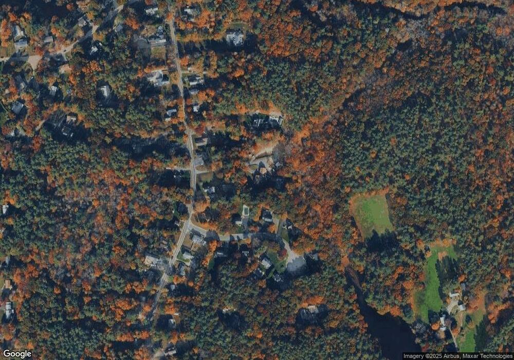
Map
Nearby Homes
- 339 State St
- 114 Graham Hill Dr
- 51 Farmside Dr
- 430 Brook Bend Rd
- 7 Farmside Dr
- 35 Sproul Rd
- 285 W Elm St
- 108 Waterford Dr
- 51 Cervelli Farm Dr
- 37 Dr
- 23 Cervelli Farm Dr
- 38 Cervelli Farm Dr
- 9 Cervelli Farm Dr
- 250 Center St
- 60 Summer Path Way
- 36 Grove St
- 139 Fairwood Dr
- 95 Tecumseh Dr
- 186 Elm St
- 26 Stonebridge Dr
Your Personal Tour Guide
Ask me questions while you tour the home.