6140 Us Highway 223 Addison, MI 49220
Estimated Value: $409,000 - $521,983
2
Beds
2
Baths
896
Sq Ft
$519/Sq Ft
Est. Value
About This Home
This home is located at 6140 Us Highway 223, Addison, MI 49220 and is currently estimated at $464,994, approximately $518 per square foot. 6140 Us Highway 223 is a home located in Lenawee County with nearby schools including Addison Elementary School, Addison Middle School, and Addison High School.
Ownership History
Date
Name
Owned For
Owner Type
Purchase Details
Closed on
Jun 23, 2006
Sold by
Matuszewski Victor and Matuszewski Conie
Bought by
Matoska Mark and Matoska Nancy
Current Estimated Value
Home Financials for this Owner
Home Financials are based on the most recent Mortgage that was taken out on this home.
Original Mortgage
$53,000
Interest Rate
6.68%
Mortgage Type
Stand Alone Second
Create a Home Valuation Report for This Property
The Home Valuation Report is an in-depth analysis detailing your home's value as well as a comparison with similar homes in the area
Home Values in the Area
Average Home Value in this Area
Purchase History
| Date | Buyer | Sale Price | Title Company |
|---|---|---|---|
| Matoska Mark | $265,000 | None Available |
Source: Public Records
Mortgage History
| Date | Status | Borrower | Loan Amount |
|---|---|---|---|
| Closed | Matoska Mark | $53,000 | |
| Open | Matoska Mark | $212,000 |
Source: Public Records
Tax History Compared to Growth
Tax History
| Year | Tax Paid | Tax Assessment Tax Assessment Total Assessment is a certain percentage of the fair market value that is determined by local assessors to be the total taxable value of land and additions on the property. | Land | Improvement |
|---|---|---|---|---|
| 2025 | $6,867 | $250,000 | $0 | $0 |
| 2024 | $1,599 | $221,800 | $0 | $0 |
| 2023 | -- | $202,100 | $0 | $0 |
| 2022 | $5,602 | $167,200 | $0 | $0 |
| 2021 | $5,394 | $162,300 | $0 | $0 |
| 2020 | $5,348 | $142,500 | $0 | $0 |
| 2019 | $339,733 | $142,500 | $0 | $0 |
| 2018 | $5,381 | $49,378 | $0 | $0 |
| 2017 | $5,214 | $49,712 | $0 | $0 |
| 2016 | $2,969 | $48,868 | $0 | $0 |
| 2014 | -- | $45,967 | $0 | $0 |
Source: Public Records
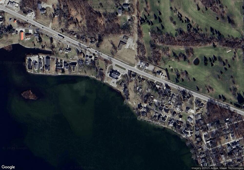
Map
Nearby Homes
- 6103 Highland Ave
- 5935 Tower Dr
- 5879 Tower Ave
- 5098 Belmere Dr
- V/L Round Lake Hwy
- 6360 Winter Rd
- 6797 Devils Lake Hwy
- 6820 Devils Lake Hwy
- 7841 Devils Lake Hwy
- 8000 Parkhurst Hwy Unit Carroll Dr ((1175)
- Unit 3 Hollyhock Dr
- Unit 2 Hollyhock Dr
- 6000 Devils Lake Hwy
- 4547 Round Lake Hwy
- 10911 Devils Lake Hwy
- 15858 Lelah Ln
- 9304 Parkhurst Hwy
- 8788 Parker Hwy
- 16424 N Rollin Hwy
- 9265 Devils Lake Hwy
- 6130 Us Highway 223
- 0 Parkhurst Unit 18026745
- 0 Parkhurst Unit M21039545
- 0 Parkhurst Unit M21039584
- 0 Parkhurst Unit M21039585
- 0 Parkhurst Unit G31346805
- 0 Parkhurst Unit G31350186
- 0 Parkhurst Unit 9304-9306 Parkhurst
- 0 Parkhurst Unit LOT C 91331
- 0 Parkhurst Unit LOT B 91330
- 0 Parkhurst Unit LOT A 91288
- 6115 Us Highway 223
- 4408 Quiet Cove Rd Unit 6000 BLK US-223
- 6075 U S 223
- 6000 Highland Ave
- 6075 Us Highway 223
- 6160 Us Highway 223
- 6160 Us Highway 223
- 6081 Us Highway 223
- 6214 Us Highway 223