6140 Wildcat Rd Waycross, GA 31503
Estimated Value: $241,000 - $281,000
4
Beds
3
Baths
2,060
Sq Ft
$126/Sq Ft
Est. Value
About This Home
This home is located at 6140 Wildcat Rd, Waycross, GA 31503 and is currently estimated at $258,735, approximately $125 per square foot. 6140 Wildcat Rd is a home located in Ware County with nearby schools including Wacona Elementary School, Ware County Middle School, and Ware County High School.
Ownership History
Date
Name
Owned For
Owner Type
Purchase Details
Closed on
May 25, 2013
Sold by
Jacobs L David
Bought by
Jacobs Scott
Current Estimated Value
Purchase Details
Closed on
Oct 3, 2008
Sold by
Jacobs L Davis
Bought by
Jacobs Scott
Purchase Details
Closed on
Oct 11, 2006
Sold by
Keller John R
Bought by
Jacobs Scott and Jacobs Marty C
Create a Home Valuation Report for This Property
The Home Valuation Report is an in-depth analysis detailing your home's value as well as a comparison with similar homes in the area
Home Values in the Area
Average Home Value in this Area
Purchase History
| Date | Buyer | Sale Price | Title Company |
|---|---|---|---|
| Jacobs Scott | -- | -- | |
| Jacobs Scott | $102,000 | -- | |
| Jacobs Scott | $149,570 | -- |
Source: Public Records
Tax History Compared to Growth
Tax History
| Year | Tax Paid | Tax Assessment Tax Assessment Total Assessment is a certain percentage of the fair market value that is determined by local assessors to be the total taxable value of land and additions on the property. | Land | Improvement |
|---|---|---|---|---|
| 2024 | $1,367 | $79,899 | $5,557 | $74,342 |
| 2023 | $1,394 | $69,044 | $6,082 | $62,962 |
| 2022 | $1,673 | $69,044 | $6,082 | $62,962 |
| 2021 | $1,667 | $55,141 | $4,678 | $50,463 |
| 2020 | $1,627 | $53,314 | $4,678 | $48,636 |
| 2019 | $1,600 | $51,487 | $4,678 | $46,809 |
| 2018 | $1,555 | $49,660 | $4,678 | $44,982 |
| 2017 | $1,554 | $49,660 | $4,678 | $44,982 |
| 2016 | $1,554 | $49,660 | $4,678 | $44,982 |
| 2015 | $1,595 | $50,462 | $5,480 | $44,982 |
| 2014 | $1,593 | $50,462 | $5,480 | $44,982 |
| 2013 | -- | $50,462 | $5,480 | $44,982 |
Source: Public Records
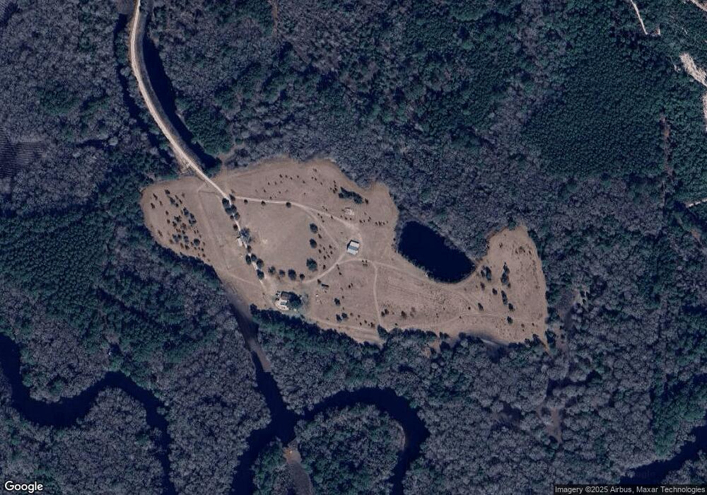
Map
Nearby Homes
- 5790 Wooddell Dr
- 0 Jamestown Rd Unit 10575588
- 0 Jamestown Rd Unit 1655675
- 0 Jamestown Rd Unit 25323571
- 729 Satilla Trail
- 1335 Clifford Loop
- 4600 Alma Hwy
- 4601 Alma Hwy
- 4517 Cameron Ln
- Lot 51 Ridge Loop Rd
- Lot 1 Smith Ln
- Lot 2 Smith Ln
- 0 (Lot 19) Smith Ln
- 4717 Smith Ln
- 0 Miller Hayes Rd Unit 13037327
- 0 Miller Hayes Rd Unit 147574
- 0 Miller Hayes Rd Unit 10127213
- 3750 Little Hurricane Creek Rd
- 1519 Plantation Cir
- 1320 Whitney Lake Rd
- 6215 Willow Ln
- 6220 Willow Ln
- 6237 Willow Ln
- 2952 Johnny Minchew Rd
- 3121 Johnny Minchew Rd
- 6271 Jamestown Rd
- 3312 Mill Creek Rd
- 6328 Jamestown Rd
- 6224 Jamestown Rd
- 3324 Mill Creek Rd
- 3325 Mill Creek Rd
- 3338 Mill Creek Rd
- 3337 Mill Creek Rd
- 6198 Jamestown Rd
- 00000 Jamestown Rd
- 2350 Jamestown Rd
- 0000 Jamestown Rd
- 5247 Jamestown Rd
- 000 Jamestown Rd