6142 Cedar Ln NW Unit 15F Canton, OH 44708
Estimated Value: $327,110 - $448,000
3
Beds
2
Baths
2,408
Sq Ft
$155/Sq Ft
Est. Value
About This Home
This home is located at 6142 Cedar Ln NW Unit 15F, Canton, OH 44708 and is currently estimated at $372,528, approximately $154 per square foot. 6142 Cedar Ln NW Unit 15F is a home located in Stark County with nearby schools including Lake Cable Elementary School, Jackson Memorial Middle School, and Jackson High School.
Ownership History
Date
Name
Owned For
Owner Type
Purchase Details
Closed on
Oct 2, 2008
Sold by
Breedlove Tara L
Bought by
Johnson David M and Johnson Deidre M
Current Estimated Value
Home Financials for this Owner
Home Financials are based on the most recent Mortgage that was taken out on this home.
Original Mortgage
$165,600
Outstanding Balance
$110,595
Interest Rate
6.52%
Mortgage Type
Purchase Money Mortgage
Estimated Equity
$261,933
Purchase Details
Closed on
Sep 21, 2005
Sold by
Newlon Gracie L
Bought by
Breedlove Tara L
Home Financials for this Owner
Home Financials are based on the most recent Mortgage that was taken out on this home.
Original Mortgage
$168,000
Interest Rate
6.75%
Mortgage Type
Fannie Mae Freddie Mac
Purchase Details
Closed on
Jun 22, 1999
Sold by
Kauffmann Florence M
Bought by
Kroll Wayne F and Newlon Kroll Gracie L
Create a Home Valuation Report for This Property
The Home Valuation Report is an in-depth analysis detailing your home's value as well as a comparison with similar homes in the area
Home Values in the Area
Average Home Value in this Area
Purchase History
| Date | Buyer | Sale Price | Title Company |
|---|---|---|---|
| Johnson David M | $207,000 | Attorney | |
| Breedlove Tara L | $210,000 | -- | |
| Kroll Wayne F | $167,500 | -- |
Source: Public Records
Mortgage History
| Date | Status | Borrower | Loan Amount |
|---|---|---|---|
| Open | Johnson David M | $165,600 | |
| Closed | Breedlove Tara L | $168,000 |
Source: Public Records
Tax History Compared to Growth
Tax History
| Year | Tax Paid | Tax Assessment Tax Assessment Total Assessment is a certain percentage of the fair market value that is determined by local assessors to be the total taxable value of land and additions on the property. | Land | Improvement |
|---|---|---|---|---|
| 2025 | -- | $78,750 | $13,930 | $64,820 |
| 2024 | -- | $78,750 | $13,930 | $64,820 |
| 2023 | $3,589 | $72,100 | $15,330 | $56,770 |
| 2022 | $1,786 | $72,100 | $15,330 | $56,770 |
| 2021 | $3,586 | $72,100 | $15,330 | $56,770 |
| 2020 | $3,611 | $66,860 | $13,620 | $53,240 |
| 2019 | $3,484 | $66,860 | $13,620 | $53,240 |
| 2018 | $3,502 | $66,860 | $13,620 | $53,240 |
| 2017 | $3,269 | $59,370 | $13,620 | $45,750 |
| 2016 | $3,290 | $59,370 | $13,620 | $45,750 |
| 2015 | $3,331 | $59,370 | $13,620 | $45,750 |
| 2014 | $968 | $50,580 | $10,260 | $40,320 |
| 2013 | $1,461 | $50,580 | $10,260 | $40,320 |
Source: Public Records
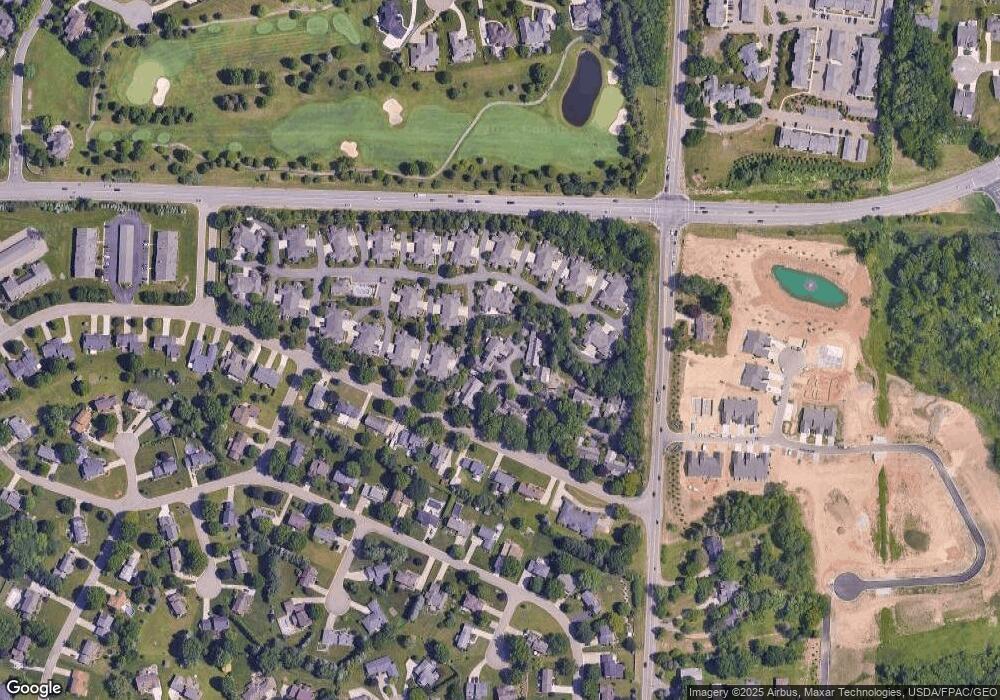
Map
Nearby Homes
- 3633 Barrington Place NW
- 0 Bertram Ave NW Unit 5051955
- 5966 Hawks Nest Cir NW
- 6175 Bertram Ave NW
- 5878 Hawks Nest Cir NW Unit 16B
- 5846 Hawks Nest Cir NW
- 5848 Hawks Nest Cir NW
- 5879 Hawks Nest Cir NW
- 5843 Hawks Nest Cir NW
- 5877 Hawks Nest Cir NW
- 5875 Hawks Nest Cir NW
- 5845 Hawks Nest Cir NW
- 5869 Hawks Nest Cir NW
- 5867 Hawks Nest Cir NW
- 5851 Hawks Nest Cir NW
- 5853 Hawks Nest Cir NW
- 3722 Old Hickory Ave NW Unit 3A
- 3273 Dellwood Ave NW
- 6487 - 6523 Hills And Dales Rd NW
- 3591 Harris Ave NW
- 6140 Cedar Ln NW Unit 15C
- 6134 Cedar Ln NW
- 6136 Cedar Ln NW
- 3686 Barrington Place NW
- 3684 Barrington Place NW
- 3676 Barrington Place NW Unit 3676
- 6132 Cedar Ln NW Unit 16DS
- 6143 Cedar Ln NW Unit 14G
- 3688 Barrington Place NW
- 3674 Barrington Place NW
- 3682 Barrington Place NW
- 6141 Cedar Ln NW Unit 14D
- 3664 Barrington Place NW Unit 3664
- 3678 Barrington Place NW Unit 3678
- 6135 Cedar Ln NW
- 3672 Barrington Place NW
- 3662 Barrington Place NW
- 3668 Barrington Place NW
- 6131 Cedar Ln NW Unit 13B
- 3671 Barrington Place NW Unit 3671