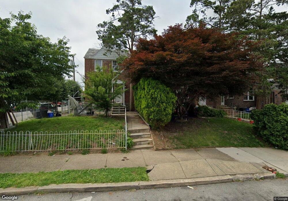
6142 Hasbrook Ave Philadelphia, PA 19111
Lawncrest NeighborhoodEstimated Value: $208,871 - $234,000
3
Beds
1
Bath
1,144
Sq Ft
$193/Sq Ft
Est. Value
About This Home
This home is located at 6142 Hasbrook Ave, Philadelphia, PA 19111 and is currently estimated at $221,218, approximately $193 per square foot. 6142 Hasbrook Ave is a home located in Philadelphia County with nearby schools including Benjamin Franklin Elementary School, Samuel Fels High School, and Mast Community Charter Ii.
Ownership History
Date
Name
Owned For
Owner Type
Purchase Details
Closed on
Aug 8, 2001
Sold by
Carrasquillo Judy
Bought by
Rivera Mikole
Current Estimated Value
Home Financials for this Owner
Home Financials are based on the most recent Mortgage that was taken out on this home.
Original Mortgage
$74,196
Outstanding Balance
$28,964
Interest Rate
7.16%
Mortgage Type
FHA
Estimated Equity
$192,254
Purchase Details
Closed on
Oct 29, 1997
Sold by
Toner Robert
Bought by
Carrasquillo Judy
Purchase Details
Closed on
Oct 15, 1997
Sold by
Fisher Ruth E and Raffay Ethel M
Bought by
Toner Robert
Create a Home Valuation Report for This Property
The Home Valuation Report is an in-depth analysis detailing your home's value as well as a comparison with similar homes in the area
Home Values in the Area
Average Home Value in this Area
Purchase History
| Date | Buyer | Sale Price | Title Company |
|---|---|---|---|
| Rivera Mikole | $75,000 | -- | |
| Carrasquillo Judy | $53,500 | -- | |
| Toner Robert | $31,000 | -- |
Source: Public Records
Mortgage History
| Date | Status | Borrower | Loan Amount |
|---|---|---|---|
| Open | Rivera Mikole | $74,196 |
Source: Public Records
Tax History Compared to Growth
Tax History
| Year | Tax Paid | Tax Assessment Tax Assessment Total Assessment is a certain percentage of the fair market value that is determined by local assessors to be the total taxable value of land and additions on the property. | Land | Improvement |
|---|---|---|---|---|
| 2025 | $2,237 | $204,100 | $40,820 | $163,280 |
| 2024 | $2,237 | $204,100 | $40,820 | $163,280 |
| 2023 | $2,237 | $159,800 | $31,960 | $127,840 |
| 2022 | $932 | $114,800 | $31,960 | $82,840 |
| 2021 | $1,562 | $0 | $0 | $0 |
| 2020 | $1,562 | $0 | $0 | $0 |
| 2019 | $1,499 | $0 | $0 | $0 |
| 2018 | $1,054 | $0 | $0 | $0 |
| 2017 | $1,474 | $0 | $0 | $0 |
| 2016 | $1,054 | $0 | $0 | $0 |
| 2015 | $1,009 | $0 | $0 | $0 |
| 2014 | -- | $105,300 | $21,910 | $83,390 |
| 2012 | -- | $14,080 | $1,956 | $12,124 |
Source: Public Records
Map
Nearby Homes
- 6162 Hasbrook Ave
- 6143 Reach St
- 318 Devereaux Ave
- 354 Devereaux Ave
- 223 Stearly St
- 209 Stearly St
- 6046 Hasbrook Ave
- 252 Benner St
- 6324 Shelbourne St
- 454 Devereaux Ave
- 223 Levick St
- 6101 Colgate St
- 335 Passmore St
- 6422 Argyle St
- 441 Van Kirk St
- 344 Van Kirk St
- 6111 Palmetto St
- 6126-28 Bingham St
- 5943 Malta St
- 5939 Malta St
- 6144 Hasbrook Ave
- 6140 Hasbrook Ave
- 6146 Hasbrook Ave
- 6148 Hasbrook Ave
- 6150 Hasbrook Ave
- 6152 Hasbrook Ave
- 6138 Hasbrook Ave
- 6154 Hasbrook Ave
- 6145 Reach St
- 6141 Reach St
- 6147 Reach St
- 6149 Reach St
- 6156 Hasbrook Ave
- 6136 Hasbrook Ave
- 6151 Reach St
- 6153 Reach St
- 6158 Hasbrook Ave
- 6139 Reach St
- 6134 Hasbrook Ave
- 6155 Reach St