6142 Ravine Rd Bastrop, LA 71220
Estimated Value: $194,000 - $274,000
3
Beds
--
Bath
3,436
Sq Ft
$69/Sq Ft
Est. Value
About This Home
This home is located at 6142 Ravine Rd, Bastrop, LA 71220 and is currently estimated at $235,857, approximately $68 per square foot. 6142 Ravine Rd is a home located in Morehouse Parish with nearby schools including Pine Grove Elementary School and Bastrop High School.
Ownership History
Date
Name
Owned For
Owner Type
Purchase Details
Closed on
Nov 15, 2019
Bought by
Potter Chris A and Potter Melanie
Current Estimated Value
Purchase Details
Closed on
Apr 11, 2013
Sold by
Courtney Charles David and Courtney Ajnie Loraine Anders
Bought by
Girtman Ross Eric
Home Financials for this Owner
Home Financials are based on the most recent Mortgage that was taken out on this home.
Original Mortgage
$189,905
Interest Rate
3.67%
Mortgage Type
New Conventional
Create a Home Valuation Report for This Property
The Home Valuation Report is an in-depth analysis detailing your home's value as well as a comparison with similar homes in the area
Home Values in the Area
Average Home Value in this Area
Purchase History
| Date | Buyer | Sale Price | Title Company |
|---|---|---|---|
| Potter Chris A | $205,000 | -- | |
| Girtman Ross Eric | -- | -- |
Source: Public Records
Mortgage History
| Date | Status | Borrower | Loan Amount |
|---|---|---|---|
| Previous Owner | Girtman Ross Eric | $189,905 |
Source: Public Records
Tax History Compared to Growth
Tax History
| Year | Tax Paid | Tax Assessment Tax Assessment Total Assessment is a certain percentage of the fair market value that is determined by local assessors to be the total taxable value of land and additions on the property. | Land | Improvement |
|---|---|---|---|---|
| 2024 | $1,828 | $19,352 | $1,280 | $18,072 |
| 2023 | $1,910 | $20,236 | $1,060 | $19,176 |
| 2022 | $1,910 | $20,236 | $1,060 | $19,176 |
| 2021 | $1,910 | $20,236 | $1,060 | $19,176 |
| 2020 | $1,884 | $20,236 | $1,060 | $19,176 |
| 2019 | $1,753 | $19,203 | $883 | $18,320 |
| 2018 | $1,752 | $19,203 | $883 | $18,320 |
| 2017 | $1,752 | $19,203 | $883 | $18,320 |
| 2016 | $1,750 | $19,203 | $883 | $18,320 |
| 2015 | $1,719 | $19,983 | $883 | $19,100 |
| 2013 | $1,812 | $19,980 | $880 | $19,100 |
Source: Public Records
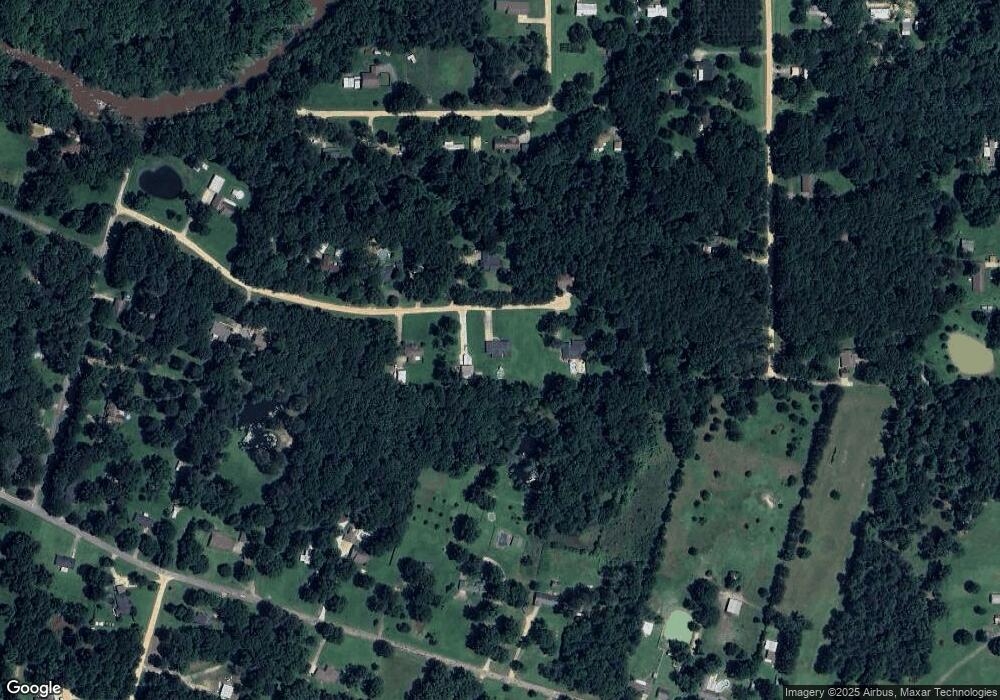
Map
Nearby Homes
- 12144 Jays Rd
- 12483 Wallace Rd
- 6673 Pete Montgomery Rd
- 6747 Pete Montgomery Rd
- 7398 Amon Hill Rd
- 7400 Amon Hill Rd
- 7399 Amon Hill Rd
- 10730 McCreight St
- 5766 Matheny Ave
- 10630 Camelia Ave
- 5736 Matheny Ave
- 10632 Azalea Dr
- 10571 Magnolia Dr
- 10579 Stephenson Dr
- 9421 Cooper Lake Rd
- 1613 Brendle Dr
- 9550 Cooper Lake Rd
- 2386 Bonner Ferry Rd
- 114 Loop Dr
- 1333 Guy Ave
- 6110 Ravine Rd
- 6160 Ravine Rd
- 6141 Ravine Rd
- 6111 Ravine Rd
- 12517 Johnson Rd
- 6081 Ravine Rd
- 12600 Mccready Rd
- 12580 Mccready Rd
- 6321 Dogwood Hills Rd
- 12557 Johnson Rd
- 12602 Mccready Rd
- 6265 Dogwood Hills Rd
- 6329 Dogwood Hills Rd
- 6255 Dogwood Hills Rd
- 12534 Mccready Rd
- 12564 Mccready Rd
- 12605 Mccready Rd
- 6060 Ravine Rd
- 12551 Mccready Rd
- 12597 Johnson Rd