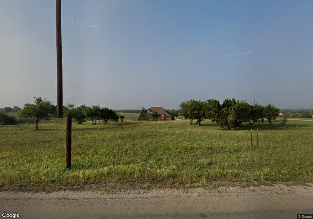
6142 Veal Station Rd Weatherford, TX 76085
Estimated Value: $585,000 - $724,000
--
Bed
--
Bath
2,705
Sq Ft
$244/Sq Ft
Est. Value
About This Home
This home is located at 6142 Veal Station Rd, Weatherford, TX 76085 and is currently estimated at $660,637, approximately $244 per square foot. 6142 Veal Station Rd is a home located in Parker County with nearby schools including Silver Creek Elementary School, Azle Elementary School, and Azle Junior High School.
Ownership History
Date
Name
Owned For
Owner Type
Purchase Details
Closed on
Sep 1, 2005
Sold by
Cunningham Gary Norman and Cunningham Lan T
Bought by
Roberson Davis Freeman
Current Estimated Value
Home Financials for this Owner
Home Financials are based on the most recent Mortgage that was taken out on this home.
Original Mortgage
$228,000
Outstanding Balance
$121,597
Interest Rate
5.8%
Mortgage Type
New Conventional
Estimated Equity
$539,040
Purchase Details
Closed on
Dec 8, 1995
Bought by
Roberson Davis Freeman
Purchase Details
Closed on
Jul 7, 1993
Bought by
Roberson Davis Freeman
Create a Home Valuation Report for This Property
The Home Valuation Report is an in-depth analysis detailing your home's value as well as a comparison with similar homes in the area
Home Values in the Area
Average Home Value in this Area
Purchase History
| Date | Buyer | Sale Price | Title Company |
|---|---|---|---|
| Roberson Davis Freeman | -- | Alamo Title Co | |
| Roberson Davis Freeman | -- | -- | |
| Roberson Davis Freeman | -- | -- |
Source: Public Records
Mortgage History
| Date | Status | Borrower | Loan Amount |
|---|---|---|---|
| Open | Roberson Davis Freeman | $228,000 |
Source: Public Records
Tax History Compared to Growth
Tax History
| Year | Tax Paid | Tax Assessment Tax Assessment Total Assessment is a certain percentage of the fair market value that is determined by local assessors to be the total taxable value of land and additions on the property. | Land | Improvement |
|---|---|---|---|---|
| 2025 | -- | $737,030 | $420,750 | $316,280 |
| 2024 | -- | $657,990 | $315,880 | $342,110 |
| 2023 | $8,412 | $522,980 | $0 | $0 |
| 2022 | $8,798 | $475,440 | $220,220 | $255,220 |
| 2021 | $9,218 | $475,440 | $220,220 | $255,220 |
| 2020 | $7,302 | $378,680 | $165,900 | $212,780 |
| 2019 | $7,739 | $378,680 | $165,900 | $212,780 |
| 2018 | $5,649 | $275,540 | $105,510 | $170,030 |
| 2017 | $5,383 | $275,540 | $105,510 | $170,030 |
| 2016 | $5,010 | $256,420 | $105,510 | $150,910 |
| 2015 | $1,775 | $256,420 | $105,510 | $150,910 |
| 2014 | $4,624 | $256,810 | $105,510 | $151,300 |
Source: Public Records
Map
Nearby Homes
- 7388 Wilderness Way
- 7220 Tucker Dr
- 6550 Veal Station Rd
- 204 Tankhouse Terrace
- Vista Plan at Windmill Creeks
- Stockyard Plan at Windmill Creeks
- Meadow Plan at Windmill Creeks
- Canyon Plan at Windmill Creeks
- 1390 Mary Dr
- 128 Fan Mill Trail
- 132 Fan Mill Trail
- 560 Aermotor Loop
- 559 Aermotor Loop
- 405 Wind Pump Alley
- 1057 Silver Sage Trail
- 100 Oak Meadow Ln
- 4420 Veal Station Rd
- 1050 Silver Sage Trail
- 544 Aermotor Loop
- 1046 Silver Sage Trail
- 6128 Veal Station Rd
- 6120 Veal Station Rd
- 107 Heather Ridge Ct
- 6100 Veal Station Rd
- 6300 Veal Station Rd
- 112 Winchester Ln
- 114 Heather Ridge Ct
- 6103 Veal Station Rd
- 120 Heather Ridge Ct
- 6229 Veal Station Rd
- 6340 Veal Station Rd
- 6048 Veal Station Rd
- 6301 Veal Station Rd
- 117 Winchester Ln
- 6047 Veal Station Rd
- 115 Heather Ridge Ct
- 6071 Veal Station Rd
- 116 Winchester Ln
- 121 Heather Ridge Ct
- 6352 Veal Station Rd