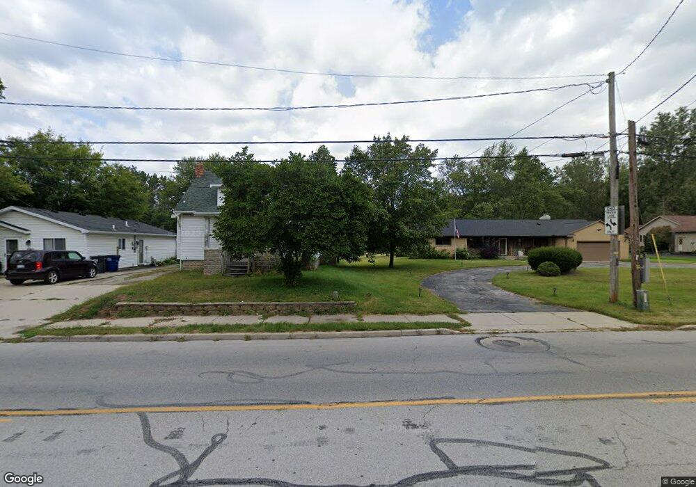
6143 Secor Rd Toledo, OH 43613
Franklin Park NeighborhoodEstimated Value: $118,000 - $213,393
3
Beds
2
Baths
1,960
Sq Ft
$86/Sq Ft
Est. Value
About This Home
This home is located at 6143 Secor Rd, Toledo, OH 43613 and is currently estimated at $167,848, approximately $85 per square foot. 6143 Secor Rd is a home located in Lucas County with nearby schools including Douglas Road Elementary School, Bedford Junior High School, and Bedford High School.
Ownership History
Date
Name
Owned For
Owner Type
Purchase Details
Closed on
Nov 9, 2016
Sold by
Neal Irene
Bought by
Hutton Thomas and Hutton Lucile
Current Estimated Value
Purchase Details
Closed on
May 5, 2000
Sold by
Fleitz Diane R and Fleitz Diane R
Bought by
Neal Irene
Home Financials for this Owner
Home Financials are based on the most recent Mortgage that was taken out on this home.
Original Mortgage
$153,000
Interest Rate
7.85%
Mortgage Type
Purchase Money Mortgage
Purchase Details
Closed on
Sep 15, 1989
Sold by
Fleitz Donald R and Fleitz Diane R
Create a Home Valuation Report for This Property
The Home Valuation Report is an in-depth analysis detailing your home's value as well as a comparison with similar homes in the area
Home Values in the Area
Average Home Value in this Area
Purchase History
| Date | Buyer | Sale Price | Title Company |
|---|---|---|---|
| Hutton Thomas | $63,000 | Chicago Title Box | |
| Neal Irene | $60,000 | Executive Title Agency Corp | |
| -- | -- | -- |
Source: Public Records
Mortgage History
| Date | Status | Borrower | Loan Amount |
|---|---|---|---|
| Previous Owner | Neal Irene | $153,000 |
Source: Public Records
Tax History Compared to Growth
Tax History
| Year | Tax Paid | Tax Assessment Tax Assessment Total Assessment is a certain percentage of the fair market value that is determined by local assessors to be the total taxable value of land and additions on the property. | Land | Improvement |
|---|---|---|---|---|
| 2024 | $909 | $38,010 | $7,525 | $30,485 |
| 2023 | $1,041 | $21,735 | $14,420 | $7,315 |
| 2022 | $1,052 | $21,735 | $14,420 | $7,315 |
| 2021 | $1,085 | $21,735 | $14,420 | $7,315 |
| 2020 | $1,006 | $18,620 | $12,320 | $6,300 |
| 2019 | $961 | $18,620 | $12,320 | $6,300 |
| 2018 | $1,315 | $18,620 | $12,320 | $6,300 |
| 2017 | $1,048 | $20,405 | $10,430 | $9,975 |
| 2016 | $1,709 | $58,300 | $29,800 | $28,500 |
| 2015 | $1,732 | $58,300 | $29,800 | $28,500 |
| 2014 | $1,391 | $20,410 | $10,430 | $9,980 |
| 2013 | $1,391 | $20,410 | $10,430 | $9,980 |
Source: Public Records
Map
Nearby Homes
- 3145 Brock Dr
- 6051 Acoma Dr
- 6036 Fairhaven Dr
- 6032 Atwell Rd
- 3456 W Alexis Rd
- 6704 Summerlyn Lakes Dr
- 6111 Meteor Ave
- 5902 Deane Dr
- 5848 Meteor Ave
- 2823 Provincetowne Dr
- 5627 Chippewa Rd
- 5623 Mantey Ln
- 2807 W Smith
- 4022 Clover Ridge Ct
- 3155 Chanson Valley Rd
- 5658 Adelaide Dr
- 5951 Everwood Rd
- 6102 Everwood Rd
- 5501 Ruth Ave
- 3215 Edgevale Dr