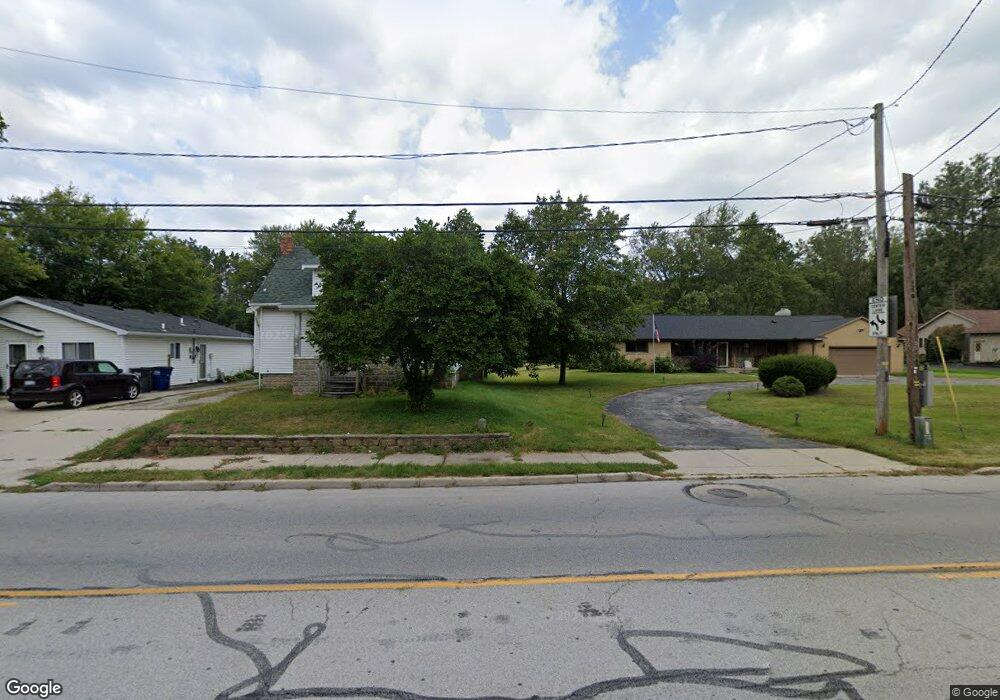
6143 Secor Rd Toledo, OH 43613
Franklin Park NeighborhoodEstimated Value: $94,000 - $192,778
About This Home
This home is located at 6143 Secor Rd, Toledo, OH 43613 and is currently estimated at $141,695, approximately $72 per square foot. 6143 Secor Rd is a home located in Lucas County with nearby schools including Douglas Road Elementary School, Bedford Junior High School, and Bedford High School.
Ownership History
We collect this data history from publicly available records. To have your information removed, we recommend requesting removal directly through your county’s website.
Purchase Details
Purchase Details
Home Financials for this Owner
Home Financials are based on the most recent Mortgage that was taken out on this home.Purchase Details
Home Values in the Area
Average Home Value in this Area
Purchase History
We collect this data history from publicly available records. To have your information removed, we recommend requesting removal directly through your county’s website.
| Date | Buyer | Sale Price | Title Company |
|---|---|---|---|
| $63,000 | Chicago Title Box | ||
| $60,000 | Executive Title Agency Corp | ||
| -- | -- |
Mortgage History
We collect this data history from publicly available records. To have your information removed, we recommend requesting removal directly through your county’s website.
| Date | Status | Borrower | Loan Amount |
|---|---|---|---|
| Previous Owner | $153,000 |
Tax History
We collect this data history from publicly available records. To have your information removed, we recommend requesting removal directly through your county’s website.
| Year | Tax Paid | Tax Assessment Tax Assessment Total Assessment is a certain percentage of the fair market value that is determined by local assessors to be the total taxable value of land and additions on the property. | Land | Improvement |
|---|---|---|---|---|
| 2025 | -- | $28,140 | $7,525 | $20,615 |
| 2024 | $909 | $38,010 | $7,525 | $30,485 |
| 2023 | $1,041 | $21,735 | $14,420 | $7,315 |
| 2022 | $1,052 | $21,735 | $14,420 | $7,315 |
| 2021 | $1,085 | $21,735 | $14,420 | $7,315 |
| 2020 | $1,006 | $18,620 | $12,320 | $6,300 |
| 2019 | $961 | $18,620 | $12,320 | $6,300 |
| 2018 | $1,315 | $18,620 | $12,320 | $6,300 |
| 2017 | $1,048 | $20,405 | $10,430 | $9,975 |
| 2016 | $1,709 | $58,300 | $29,800 | $28,500 |
| 2015 | $1,732 | $58,300 | $29,800 | $28,500 |
| 2014 | $1,391 | $20,410 | $10,430 | $9,980 |
| 2013 | $1,391 | $20,410 | $10,430 | $9,980 |
Map
- 3334 Thelma Dr
- 6220 Whiteford Center Rd
- 6079 Whiteford Center Rd
- 3212 Keemont Dr
- 5921 Murnen Rd
- 5933 Acoma Dr
- 5846 Burdette St
- 6751 W Summer Breeze Dr
- 6763 Summer Breeze Dr
- 6606 Summerlyn Blvd
- 3412 Birchdale Dr
- 2831 E Glenn St
- 5739 Home Ln
- 5824 Adelaide Dr
- 2807 W Smith
- 6128 Meadowvale Dr
- 3765 W Alexis Rd Unit 3765
- 6595 Whiteford Center Rd
- 6597 Whiteford Center Rd
- 4106 Albar Dr
Ask me questions while you tour the home.