6144 Campground Rd Cumming, GA 30040
Estimated Value: $1,017,000 - $1,332,000
3
Beds
5
Baths
3,805
Sq Ft
$318/Sq Ft
Est. Value
About This Home
This home is located at 6144 Campground Rd, Cumming, GA 30040 and is currently estimated at $1,210,917, approximately $318 per square foot. 6144 Campground Rd is a home located in Forsyth County with nearby schools including Midway Elementary School, DeSana Middle School, and Denmark High School.
Ownership History
Date
Name
Owned For
Owner Type
Purchase Details
Closed on
Mar 16, 2022
Sold by
Matia Mark O
Bought by
Matia Family Trust
Current Estimated Value
Purchase Details
Closed on
Aug 18, 1999
Sold by
Rice Sherie D
Bought by
Matia Mark O and Matia Martha D
Home Financials for this Owner
Home Financials are based on the most recent Mortgage that was taken out on this home.
Original Mortgage
$556,000
Interest Rate
7.91%
Mortgage Type
New Conventional
Purchase Details
Closed on
Apr 10, 1997
Sold by
Helton Thomas H and Helton Katie L
Bought by
Negrell Const Inc
Purchase Details
Closed on
Oct 11, 1996
Sold by
Helton Thomas Katie
Bought by
Rice Sherrie
Create a Home Valuation Report for This Property
The Home Valuation Report is an in-depth analysis detailing your home's value as well as a comparison with similar homes in the area
Home Values in the Area
Average Home Value in this Area
Purchase History
| Date | Buyer | Sale Price | Title Company |
|---|---|---|---|
| Matia Family Trust | -- | Law Offices Of Stefanie Ceto | |
| Matia Mark O | $685,000 | -- | |
| Negrell Const Inc | $224,500 | -- | |
| Rice Sherrie | $484,500 | -- |
Source: Public Records
Mortgage History
| Date | Status | Borrower | Loan Amount |
|---|---|---|---|
| Previous Owner | Matia Mark O | $556,000 | |
| Closed | Rice Sherrie | $0 | |
| Closed | Negrell Const Inc | -- |
Source: Public Records
Tax History Compared to Growth
Tax History
| Year | Tax Paid | Tax Assessment Tax Assessment Total Assessment is a certain percentage of the fair market value that is determined by local assessors to be the total taxable value of land and additions on the property. | Land | Improvement |
|---|---|---|---|---|
| 2025 | $2,203 | $491,968 | $239,424 | $252,544 |
| 2024 | $2,203 | $457,580 | $211,256 | $246,324 |
| 2023 | $2,155 | $472,556 | $232,380 | $240,176 |
| 2022 | $2,207 | $278,568 | $110,384 | $168,184 |
| 2021 | $2,100 | $278,568 | $110,384 | $168,184 |
| 2020 | $7,520 | $272,336 | $110,384 | $161,952 |
| 2019 | $6,815 | $246,432 | $99,348 | $147,084 |
| 2018 | $6,159 | $222,720 | $99,348 | $123,372 |
| 2017 | $5,683 | $204,748 | $91,988 | $112,760 |
| 2016 | $5,172 | $186,352 | $73,592 | $112,760 |
| 2015 | $5,181 | $186,352 | $73,592 | $112,760 |
| 2014 | $4,726 | $178,504 | $0 | $0 |
Source: Public Records
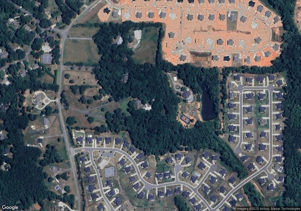
Map
Nearby Homes
- 6355 Westfallen Overlook
- 7160 Derby Trail
- 6610 Major Dr
- 7235 Compton Cir
- 7830 Wynfield Cir
- 7105 Weybridge Dr
- 7665 Brentwood Ct Unit 1
- 6797 Campground Rd
- 7020 Weybridge Dr
- 7895 Wynfield Dr Unit 3
- 6155 Heritage Manor Dr
- 7065 Post Park Way
- 7210 Post Park Way
- Palazzo Plan at The Courtyards by The Manor
- Promenade Plan at The Courtyards by The Manor
- Provenance Plan at The Courtyards by The Manor
- Portico Plan at The Courtyards by The Manor
- 5902 Wills Orchard Rd
- 3590 Manor Court Dr
- 3580 Manor Court Dr
- 6180 Campground Rd
- 6235 Westfall Pkwy
- 6245 Westfall Pkwy
- 6225 Westfall Pkwy
- 6215 Westfall Pkwy
- 6255 Westfall Pkwy
- 6190 Campground Rd
- 6205 Westfall Pkwy
- 6415 Westfield Way
- 6240 Westfall Pkwy
- 6265 Westfall Pkwy
- 6115 Westfall Pkwy
- 6425 Westfield Way
- 6220 Campground Rd
- 6260 Westfall Pkwy
- 6105 Westfall Pkwy
- 6275 Westfall Pkwy
- 6420 Westfield Way
- 6315 Westfall Pkwy
- 6270 Westfall Pkwy