Estimated Value: $133,000 - $525,000
--
Bed
--
Bath
--
Sq Ft
1.5
Acres
About This Home
This home is located at 6144 Quarry Rd, Arena, WI 53503 and is currently estimated at $317,603. 6144 Quarry Rd is a home with nearby schools including River Valley High School.
Ownership History
Date
Name
Owned For
Owner Type
Purchase Details
Closed on
Jan 2, 2021
Sold by
Swenson Dean Janis A A
Bought by
Swenson Living Trust
Current Estimated Value
Purchase Details
Closed on
Aug 20, 2020
Sold by
Swenson Deanne L
Bought by
Swenson Dean and Swenson Janis A
Purchase Details
Closed on
Jun 6, 2008
Sold by
Swenson Dean A
Bought by
Swenson Deanne L
Create a Home Valuation Report for This Property
The Home Valuation Report is an in-depth analysis detailing your home's value as well as a comparison with similar homes in the area
Home Values in the Area
Average Home Value in this Area
Purchase History
| Date | Buyer | Sale Price | Title Company |
|---|---|---|---|
| Swenson Living Trust | $176,400 | -- | |
| Swenson Dean | -- | -- | |
| Swenson Deanne L | $75,000 | -- |
Source: Public Records
Mortgage History
| Date | Status | Borrower | Loan Amount |
|---|---|---|---|
| Closed | Swenson Deanne L | $0 |
Source: Public Records
Tax History Compared to Growth
Tax History
| Year | Tax Paid | Tax Assessment Tax Assessment Total Assessment is a certain percentage of the fair market value that is determined by local assessors to be the total taxable value of land and additions on the property. | Land | Improvement |
|---|---|---|---|---|
| 2024 | $3,280 | $237,400 | $41,000 | $196,400 |
| 2023 | $3,264 | $237,400 | $41,000 | $196,400 |
| 2022 | $3,414 | $194,700 | $33,800 | $160,900 |
| 2021 | $3,328 | $194,700 | $33,800 | $160,900 |
| 2020 | $2,898 | $170,700 | $23,000 | $147,700 |
| 2019 | $2,771 | $170,700 | $23,000 | $147,700 |
| 2018 | $2,603 | $170,700 | $23,000 | $147,700 |
| 2017 | $2,729 | $170,700 | $23,000 | $147,700 |
| 2016 | $2,784 | $170,700 | $23,000 | $147,700 |
| 2015 | $2,911 | $170,700 | $23,000 | $147,700 |
| 2014 | -- | $170,700 | $23,000 | $147,700 |
| 2013 | -- | $170,700 | $23,000 | $147,700 |
| 2012 | -- | $170,700 | $23,000 | $147,700 |
Source: Public Records
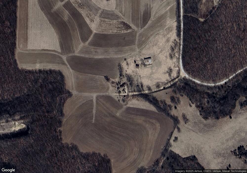
Map
Nearby Homes
- 8.46 Acres Coon Rock Rd
- 1316 S Springs Dr
- 7045 Coon Rock Rd
- 6560 U S 14
- 21.8+/- Acres County Road z
- 5.78 ac Highbanks Ln
- 5210 County Road C
- 400 Mourning Dove Ct
- 5601 County Road H
- 221 S Winsted St
- 204 E Madison St
- S13041 Shifflet Rd Unit 117
- 142 N Worcester St
- 256 S Wood St
- L12 Rainbow Rd
- L16 Sunrise Dr
- L10 Sunrise Dr
- L45 & L46 Sunrise Dr
- L10 Prairie Dr
- 357 W Monroe St
- 6455 High Point Rd
- 1307 S Springs Dr
- 1309 S Springs Dr
- 1305 S Springs Dr
- 1301 S Springs Dr
- 1311 S Springs Dr
- 1303 S Springs Dr
- 6303 Coon Rock Rd
- 1313 S Springs Dr
- 260 Ac High Point Rd
- 208 +/- ac High Point Rd
- 320 AC High Point Rd
- 6270 Coon Rock Rd
- 0 High Point Rd Unit 1664480
- 0 High Point Rd Unit 1666889
- 0 High Point Rd Unit 1666874
- 00 High Point Dr
- 1315 S Springs Dr
- 320 High Point Rd
- 6645 High Point Rd