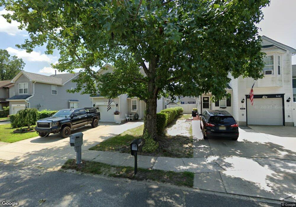
6146 Robin Dr Mays Landing, NJ 08330
Estimated Value: $300,544 - $387,000
--
Bed
--
Bath
1,654
Sq Ft
$213/Sq Ft
Est. Value
About This Home
This home is located at 6146 Robin Dr, Mays Landing, NJ 08330 and is currently estimated at $351,636, approximately $212 per square foot. 6146 Robin Dr is a home located in Atlantic County with nearby schools including Joseph Shaner School, George L. Hess Educational Complex, and William Davies Middle School.
Ownership History
Date
Name
Owned For
Owner Type
Purchase Details
Closed on
Oct 15, 2019
Sold by
Evans Scott Lee and Heyes Graham
Bought by
Heyes Graham and Evans Joan
Current Estimated Value
Home Financials for this Owner
Home Financials are based on the most recent Mortgage that was taken out on this home.
Original Mortgage
$130,000
Interest Rate
3.6%
Mortgage Type
New Conventional
Purchase Details
Closed on
May 26, 1998
Sold by
Dangelo Franco
Bought by
Evans Scott Lee and Heyes Graham
Home Financials for this Owner
Home Financials are based on the most recent Mortgage that was taken out on this home.
Original Mortgage
$96,000
Interest Rate
7.09%
Purchase Details
Closed on
Sep 3, 1992
Sold by
Dangelo Franco
Bought by
Dangelo Franco
Purchase Details
Closed on
Sep 19, 1989
Sold by
Dayco Invest Corp
Bought by
Dangelo Franco and Dangelo Teresa
Create a Home Valuation Report for This Property
The Home Valuation Report is an in-depth analysis detailing your home's value as well as a comparison with similar homes in the area
Home Values in the Area
Average Home Value in this Area
Purchase History
| Date | Buyer | Sale Price | Title Company |
|---|---|---|---|
| Heyes Graham | $40,000 | None Available | |
| Evans Scott Lee | $120,000 | -- | |
| Dangelo Franco | -- | -- | |
| Dangelo Franco | $113,700 | -- |
Source: Public Records
Mortgage History
| Date | Status | Borrower | Loan Amount |
|---|---|---|---|
| Previous Owner | Heyes Graham | $130,000 | |
| Previous Owner | Evans Scott Lee | $96,000 |
Source: Public Records
Tax History Compared to Growth
Tax History
| Year | Tax Paid | Tax Assessment Tax Assessment Total Assessment is a certain percentage of the fair market value that is determined by local assessors to be the total taxable value of land and additions on the property. | Land | Improvement |
|---|---|---|---|---|
| 2025 | $5,967 | $173,900 | $31,000 | $142,900 |
| 2024 | $5,967 | $173,900 | $31,000 | $142,900 |
| 2023 | $5,610 | $173,900 | $31,000 | $142,900 |
| 2022 | $5,610 | $173,900 | $31,000 | $142,900 |
| 2021 | $5,598 | $173,900 | $31,000 | $142,900 |
| 2020 | $5,598 | $173,900 | $31,000 | $142,900 |
| 2019 | $5,612 | $173,900 | $31,000 | $142,900 |
| 2018 | $5,415 | $173,900 | $31,000 | $142,900 |
| 2017 | $5,330 | $173,900 | $31,000 | $142,900 |
| 2016 | $5,520 | $185,300 | $40,500 | $144,800 |
| 2015 | $5,333 | $185,300 | $40,500 | $144,800 |
| 2014 | $5,301 | $201,800 | $45,200 | $156,600 |
Source: Public Records
Map
Nearby Homes
- 6140 Robin Dr
- 0 Harding Hwy Unit 597638
- 0 Harding Hwy Unit NJAC2019438
- 6251 Old Harding Hwy
- 6206 Roberts Ave
- 6302 Palmer Ave
- 6126 Longwood Ave
- 87 Devon Rd
- 6314 Lance Ave
- 6301 Knight Ave
- 6310 Phillips Ave
- 37 Delancy Ct
- 80 Mill St
- 1305 Matthews Ave
- 15 Lowell St
- 1 Lafayette Ave
- 1404 Loretta Ave
- 16 Holly Ct
- 24 Holly Ct
- 1403 Loretta Ave
- 6148 Robin Dr
- 6144 Robin Dr
- 6142 Robin Dr
- 6150 Robin Dr
- 6143 Goldfinch Ct
- 6145 Goldfinch Dr
- 6147 Goldfinch Dr
- 6141 Goldfinch Ct
- 6149 Goldfinch Dr
- 6152 Robin Dr
- 6147 Robin Dr
- 6151 Goldfinch Dr
- 6145 Robin Dr
- 6139 Goldfinch Ct
- 6138 Robin Dr
- 6154 Robin Dr
- 6143 Robin Dr
- 6153 Goldfinch Dr
- 6137 Goldfinch Ct
- 6149 Robin Dr