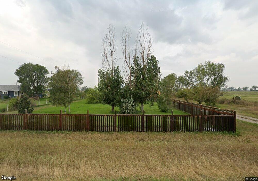
6146 Shepherd Rd Shepherd, MT 59079
Estimated Value: $358,614 - $409,000
2
Beds
1
Bath
2,148
Sq Ft
$179/Sq Ft
Est. Value
About This Home
This home is located at 6146 Shepherd Rd, Shepherd, MT 59079 and is currently estimated at $384,154, approximately $178 per square foot. 6146 Shepherd Rd is a home located in Yellowstone County with nearby schools including Shepherd Elementary School, Shepherd Middle School, and Shepherd High School.
Ownership History
Date
Name
Owned For
Owner Type
Purchase Details
Closed on
Sep 29, 2005
Sold by
Boyd Cleta G
Bought by
Schipman Wynn C
Current Estimated Value
Home Financials for this Owner
Home Financials are based on the most recent Mortgage that was taken out on this home.
Original Mortgage
$116,100
Outstanding Balance
$60,377
Interest Rate
5.7%
Mortgage Type
New Conventional
Estimated Equity
$323,777
Create a Home Valuation Report for This Property
The Home Valuation Report is an in-depth analysis detailing your home's value as well as a comparison with similar homes in the area
Purchase History
| Date | Buyer | Sale Price | Title Company |
|---|---|---|---|
| Schipman Wynn C | -- | None Available |
Source: Public Records
Mortgage History
| Date | Status | Borrower | Loan Amount |
|---|---|---|---|
| Open | Schipman Wynn C | $116,100 |
Source: Public Records
Tax History
| Year | Tax Paid | Tax Assessment Tax Assessment Total Assessment is a certain percentage of the fair market value that is determined by local assessors to be the total taxable value of land and additions on the property. | Land | Improvement |
|---|---|---|---|---|
| 2025 | $2,606 | $337,100 | $64,500 | $272,600 |
| 2024 | $2,606 | $298,700 | $52,700 | $246,000 |
| 2023 | $2,650 | $298,700 | $52,700 | $246,000 |
| 2022 | $2,133 | $213,300 | $0 | $0 |
| 2021 | $2,127 | $213,300 | $0 | $0 |
| 2020 | $1,897 | $182,800 | $0 | $0 |
| 2019 | $1,579 | $182,800 | $0 | $0 |
| 2018 | $1,832 | $201,600 | $0 | $0 |
| 2017 | $1,798 | $201,600 | $0 | $0 |
| 2016 | $1,315 | $150,750 | $0 | $0 |
| 2015 | $1,311 | $150,750 | $0 | $0 |
| 2014 | $1,105 | $68,201 | $0 | $0 |
Source: Public Records
Map
Nearby Homes
- 0 SHepherd Road lot Shepherd Rd
- 0 Shepherd Road Lot Shepherd Rd
- 6447 US Highway 312
- 5430 Cerkoney Ln
- 8020 Wade St
- L5B4 Trumbo Cir
- 4142 McGirl Rd
- L11B3 High Noon Dr
- L13B2 High Noon Dr
- 7306 Kendra Lynn Dr
- L3B4 Trumbo Cir
- 5652 Bengston Rd
- L11B2 Rio Lobo Cir
- L12B3 Molly Dr
- L4B4 Trumbo Cir
- L2B4 True Grit St
- L12B2 High Noon Dr
- L10B3 High Noon Dr
- L13B3 Molly Dr
- 0000 Florian Ave
- 6138 Shepherd Rd
- 6134 Shepherd Rd
- 5603 Silver Saddle Dr
- 5606 Silver Saddle Dr
- 6125 Severance Rd
- 6120 Severence Rd
- 6131 Shepherd Rd
- 6120 Shepherd Rd
- 6133 Severence Rd
- 5625 Silver Saddle Dr
- 6107 Shepherd Rd
- 6000 Severence Rd
- 5635 Silver Saddle Dr
- 6045 Shepherd Rd
- 6116 Severance Rd
- 6116 Severence Rd
- 6008 Shepherd Rd
- 5645 Silver Saddle Dr
- 6040 Severence Rd
- 6040 Severance
Your Personal Tour Guide
Ask me questions while you tour the home.