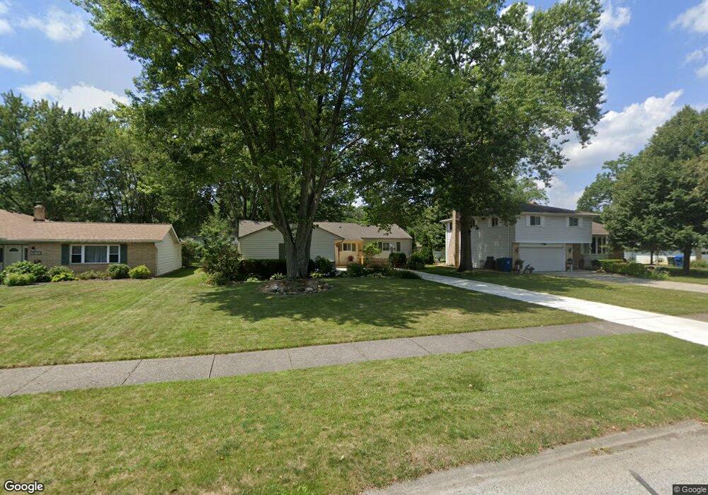
6146 Somerset Dr North Olmsted, OH 44070
Estimated Value: $273,000 - $283,000
3
Beds
2
Baths
1,478
Sq Ft
$187/Sq Ft
Est. Value
About This Home
This home is located at 6146 Somerset Dr, North Olmsted, OH 44070 and is currently estimated at $276,362, approximately $186 per square foot. 6146 Somerset Dr is a home located in Cuyahoga County with nearby schools including Chestnut Intermediate Elementary School, Pine Intermediate School, and North Olmsted Middle School.
Ownership History
Date
Name
Owned For
Owner Type
Purchase Details
Closed on
Oct 25, 1985
Sold by
Dow Anna Louise
Bought by
King Ralph D and King Marcia D
Current Estimated Value
Purchase Details
Closed on
Mar 4, 1985
Sold by
Dow Nelson D and Dow Anna L
Bought by
Dow Anna Louise
Purchase Details
Closed on
Jan 1, 1975
Bought by
Dow Nelson D and Dow Anna L
Create a Home Valuation Report for This Property
The Home Valuation Report is an in-depth analysis detailing your home's value as well as a comparison with similar homes in the area
Home Values in the Area
Average Home Value in this Area
Purchase History
| Date | Buyer | Sale Price | Title Company |
|---|---|---|---|
| King Ralph D | $65,000 | -- | |
| Dow Anna Louise | -- | -- | |
| Dow Nelson D | -- | -- |
Source: Public Records
Tax History Compared to Growth
Tax History
| Year | Tax Paid | Tax Assessment Tax Assessment Total Assessment is a certain percentage of the fair market value that is determined by local assessors to be the total taxable value of land and additions on the property. | Land | Improvement |
|---|---|---|---|---|
| 2024 | $5,361 | $78,225 | $17,640 | $60,585 |
| 2023 | $4,857 | $59,470 | $13,900 | $45,570 |
| 2022 | $4,831 | $59,470 | $13,900 | $45,570 |
| 2021 | $4,372 | $59,470 | $13,900 | $45,570 |
| 2020 | $4,219 | $50,820 | $11,870 | $38,960 |
| 2019 | $4,106 | $145,200 | $33,900 | $111,300 |
| 2018 | $4,105 | $50,820 | $11,870 | $38,960 |
| 2017 | $4,115 | $46,240 | $10,330 | $35,910 |
| 2016 | $4,079 | $46,240 | $10,330 | $35,910 |
| 2015 | $3,985 | $46,240 | $10,330 | $35,910 |
| 2014 | $3,985 | $44,910 | $10,010 | $34,900 |
Source: Public Records
Map
Nearby Homes
- 29408 Stewart Dr
- 6281 Christman Dr
- 0 Stearns Rd
- 6305 Christman Dr
- 6321 Brighton Dr
- 5833 Stearns Rd
- 30247 Lorain Rd
- 5920 Sherwood Dr
- 28628 Aspen Dr
- 6723 Warrington Dr
- 29667 Bretton Ridge Dr
- 28521 Aspen Dr
- 6617 Sutton Dr
- 6127 Mackenzie Rd
- 5461 Wellesley Ave
- 30630 Lorain Rd
- 6580 Barton Rd
- 6427 Mackenzie Rd
- 29861 Wellington Dr
- 5399 Berkshire Dr
- 6160 Somerset Dr
- 6132 Somerset Dr
- 6174 Somerset Dr
- 6118 Somerset Dr
- 6153 Stafford Dr
- 6139 Stafford Dr
- 6167 Stafford Dr
- 6125 Stafford Dr
- 6104 Somerset Dr
- 6188 Somerset Dr
- 6145 Somerset Dr
- 6131 Somerset Dr
- 6159 Somerset Dr
- 6181 Stafford Dr
- 6111 Stafford Dr
- 6117 Somerset Dr
- 6173 Somerset Dr
- 6090 Somerset Dr
- 6202 Somerset Dr
- 6195 Stafford Dr