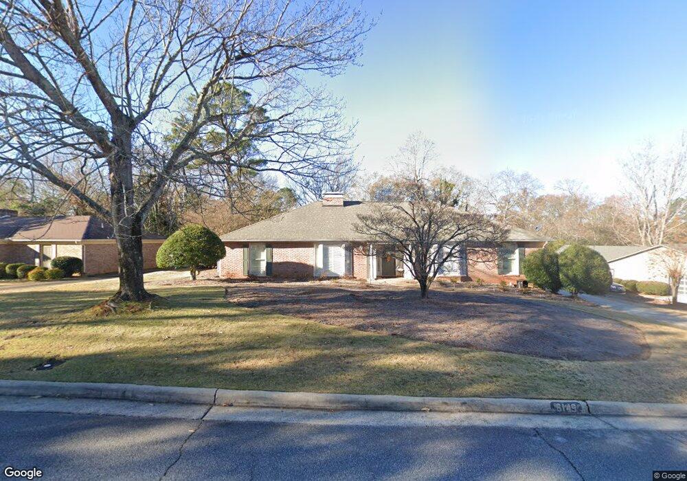
6149 Bristol Blvd Columbus, GA 31904
North Columbus NeighborhoodEstimated Value: $386,322 - $468,000
4
Beds
3
Baths
3,062
Sq Ft
$138/Sq Ft
Est. Value
About This Home
This home is located at 6149 Bristol Blvd, Columbus, GA 31904 and is currently estimated at $424,081, approximately $138 per square foot. 6149 Bristol Blvd is a home located in Muscogee County with nearby schools including River Road Elementary School, Double Churches Middle School, and Northside High School.
Ownership History
Date
Name
Owned For
Owner Type
Purchase Details
Closed on
Apr 17, 2019
Sold by
Shakman Linda
Bought by
Sowers Timothy James and Sowers Ashley Brown
Current Estimated Value
Home Financials for this Owner
Home Financials are based on the most recent Mortgage that was taken out on this home.
Original Mortgage
$265,010
Outstanding Balance
$231,565
Interest Rate
4.4%
Mortgage Type
FHA
Estimated Equity
$192,516
Purchase Details
Closed on
Oct 25, 2017
Sold by
Smart Barbara A
Bought by
Shakman Linda
Create a Home Valuation Report for This Property
The Home Valuation Report is an in-depth analysis detailing your home's value as well as a comparison with similar homes in the area
Home Values in the Area
Average Home Value in this Area
Purchase History
We collect this data history from publicly available records. To have your information removed, we recommend requesting removal directly through your county’s website.
| Date | Buyer | Sale Price | Title Company |
|---|---|---|---|
| Sowers Timothy James | $269,900 | -- | |
| Shakman Linda | $252,500 | -- |
Source: Public Records
Mortgage History
We collect this data history from publicly available records. To have your information removed, we recommend requesting removal directly through your county’s website.
| Date | Status | Borrower | Loan Amount |
|---|---|---|---|
| Open | Sowers Timothy James | $265,010 |
Source: Public Records
Tax History
| Year | Tax Paid | Tax Assessment Tax Assessment Total Assessment is a certain percentage of the fair market value that is determined by local assessors to be the total taxable value of land and additions on the property. | Land | Improvement |
|---|---|---|---|---|
| 2025 | $349 | $136,464 | $21,844 | $114,620 |
| 2024 | $3,485 | $136,464 | $21,844 | $114,620 |
| 2023 | $2,813 | $136,464 | $21,844 | $114,620 |
| 2022 | $3,635 | $103,280 | $21,844 | $81,436 |
| 2021 | $3,628 | $102,244 | $21,844 | $80,400 |
| 2020 | $3,629 | $102,244 | $21,844 | $80,400 |
| 2019 | $3,257 | $102,244 | $21,844 | $80,400 |
| 2018 | $3,257 | $101,000 | $19,640 | $81,360 |
| 2017 | $1,441 | $112,148 | $21,844 | $90,304 |
| 2016 | $1,447 | $115,718 | $9,855 | $105,863 |
| 2015 | $1,453 | $115,718 | $9,855 | $105,863 |
| 2014 | $1,459 | $115,718 | $9,855 | $105,863 |
| 2013 | -- | $115,718 | $9,855 | $105,863 |
Source: Public Records
Map
Nearby Homes
- 6100 Bristol Blvd
- 6129 Cape Cod Ct
- 6289 Brookstone Blvd
- 6320 Brookstone Blvd
- 1 Stoneshoal Ct
- 20 Pinecreek Dr
- 867 Lismore Dr
- 6101 River Rd Unit 5
- 6101 River Rd Unit 11
- 6101 River Rd Unit 13
- 6101 River Rd Unit 15
- 6101 River Rd Unit 2
- 6 Cascade Rd
- 737 Mobley Rd
- 6400 Green Island Dr Unit 42
- 6400 Green Island Dr Unit 22
- 6400 Green Island Dr Unit 2
- 6400 Green Island Dr Unit 77
- 253 Pebblebrook Ln
- 6638 Highridge Dr
- 6137 Bristol Blvd
- 6153 Bristol Blvd
- 6170 Cape Cod Ct
- 6202 Seminary Rd
- 6127 Bristol Blvd
- 6157 Bristol Blvd
- 6173 Cape Cod Ct
- 6203 Seminary Rd
- 6162 Cape Cod Ct
- 6210 Seminary Rd
- 6119 Bristol Blvd
- 6152 Cape Cod Ct
- 6169 Cape Cod Ct
- 6122 Bristol Blvd
- 6219 Seminary Rd
- 6201 Cape Cod Dr
- 6161 Cape Cod Ct
- 6151 Cape Cod Dr
- 6218 Seminary Rd
- 6219 Cape Cod Dr
Your Personal Tour Guide
Ask me questions while you tour the home.