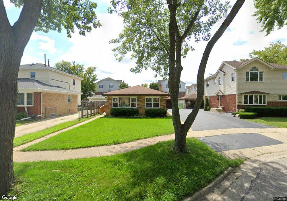
6149 Elm St Morton Grove, IL 60053
Estimated Value: $402,628 - $431,000
3
Beds
1
Bath
1,048
Sq Ft
$400/Sq Ft
Est. Value
About This Home
This home is located at 6149 Elm St, Morton Grove, IL 60053 and is currently estimated at $419,407, approximately $400 per square foot. 6149 Elm St is a home located in Cook County with nearby schools including Park View Elementary School, Niles West High School, and Cheder Lubavitch Hebrew Day School.
Ownership History
Date
Name
Owned For
Owner Type
Purchase Details
Closed on
Nov 5, 2004
Sold by
Khasho Habib Y and Khasho Nahida
Bought by
Nwosu Lawrence E and Bevil Nwosu Wendolyn M
Current Estimated Value
Home Financials for this Owner
Home Financials are based on the most recent Mortgage that was taken out on this home.
Original Mortgage
$290,000
Outstanding Balance
$145,971
Interest Rate
5.91%
Mortgage Type
New Conventional
Estimated Equity
$273,436
Create a Home Valuation Report for This Property
The Home Valuation Report is an in-depth analysis detailing your home's value as well as a comparison with similar homes in the area
Home Values in the Area
Average Home Value in this Area
Purchase History
| Date | Buyer | Sale Price | Title Company |
|---|---|---|---|
| Nwosu Lawrence E | $362,500 | Fort Dearborn Land Title |
Source: Public Records
Mortgage History
| Date | Status | Borrower | Loan Amount |
|---|---|---|---|
| Open | Nwosu Lawrence E | $290,000 |
Source: Public Records
Tax History Compared to Growth
Tax History
| Year | Tax Paid | Tax Assessment Tax Assessment Total Assessment is a certain percentage of the fair market value that is determined by local assessors to be the total taxable value of land and additions on the property. | Land | Improvement |
|---|---|---|---|---|
| 2024 | $7,200 | $28,245 | $7,400 | $20,845 |
| 2023 | $6,832 | $28,245 | $7,400 | $20,845 |
| 2022 | $6,832 | $28,245 | $7,400 | $20,845 |
| 2021 | $6,103 | $22,359 | $4,553 | $17,806 |
| 2020 | $6,012 | $22,359 | $4,553 | $17,806 |
| 2019 | $6,893 | $28,049 | $4,553 | $23,496 |
| 2018 | $6,048 | $22,602 | $4,126 | $18,476 |
| 2017 | $6,112 | $22,602 | $4,126 | $18,476 |
| 2016 | $6,025 | $22,602 | $4,126 | $18,476 |
| 2015 | $5,272 | $18,984 | $3,557 | $15,427 |
| 2014 | $5,284 | $18,984 | $3,557 | $15,427 |
| 2013 | $5,779 | $21,002 | $3,557 | $17,445 |
Source: Public Records
Map
Nearby Homes
- 6166 Mayfair St Unit 33714
- 6163 Mayfair St Unit 102714
- 6140 Elm St
- 8425 Callie Ave Unit 62
- 8300 Callie Ave Unit F314
- 8300 Callie Ave Unit F610
- 8400 Callie Ave Unit D209
- 8400 Callie Ave Unit D207
- 6035 Lincoln Ave
- 6020 Lincoln Ave Unit 407
- 6411 Elm St
- 8380 Miami Ave
- 6330 Lincoln Ave Unit 2E
- 6330 Lincoln Ave Unit 2A
- 8712 Ferris Ave
- 6330 Hennings Ct
- 6338 Hennings Ct
- 6332 Hennings Ct
- 6336 Hennings Ct
- 6334 Hennings Ct
- 6153 Elm St
- 6145 Elm St
- 6141 Elm St
- 6190 Mayfair St Unit 267146
- 6170 Mayfair St Unit 31
- 6188 Mayfair St Unit 25714
- 8343 Concord Dr Unit 117148
- 6168 Mayfair St Unit 327146
- 6166 Mayfair Ave Unit 6166
- 6186 Mayfair St Unit 24714
- 6137 Elm St
- 8341 Concord Dr Unit 12714
- 6150 Mayfair St Unit 467146
- 6150 Mayfair St Unit 4-6
- 6184 Mayfair St Unit 237146
- 8339 Concord Dr Unit 13714
- 6148 Mayfair St Unit 45714
- 6164 Mayfair St Unit 347146
- 6146 Mayfair St Unit 44714
- 8337 Concord Dr Unit 14714