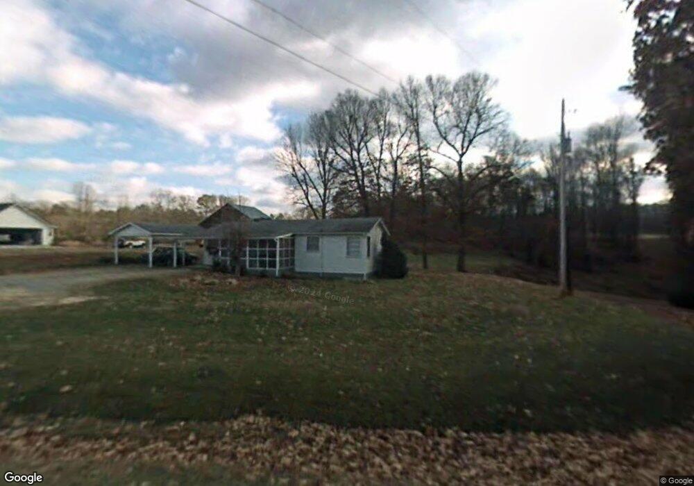
615 A T Moore Rd Dawsonville, GA 30534
Dawson County NeighborhoodEstimated Value: $124,000 - $255,000
2
Beds
1
Bath
900
Sq Ft
$223/Sq Ft
Est. Value
About This Home
This home is located at 615 A T Moore Rd, Dawsonville, GA 30534 and is currently estimated at $200,688, approximately $222 per square foot. 615 A T Moore Rd is a home located in Dawson County with nearby schools including Riverview Elementary School, Dawson County Middle School, and Dawson County Junior High School.
Ownership History
Date
Name
Owned For
Owner Type
Purchase Details
Closed on
May 18, 2018
Sold by
Fields Jeremy S
Bought by
Fields Anita D
Current Estimated Value
Purchase Details
Closed on
Jan 2, 2014
Sold by
Moore Phillip
Bought by
Fields Jeremy S and Fields Anita D
Purchase Details
Closed on
Sep 21, 2010
Sold by
Moore Jessie Lee
Bought by
Moore Phillip
Purchase Details
Closed on
Dec 30, 1996
Sold by
Moore Jessie Lee
Bought by
Moore Jessie Lee
Purchase Details
Closed on
Nov 21, 1958
Bought by
Moore Junior
Create a Home Valuation Report for This Property
The Home Valuation Report is an in-depth analysis detailing your home's value as well as a comparison with similar homes in the area
Home Values in the Area
Average Home Value in this Area
Purchase History
| Date | Buyer | Sale Price | Title Company |
|---|---|---|---|
| Fields Anita D | -- | -- | |
| Fields Jeremy S | $45,000 | -- | |
| Moore Phillip | -- | -- | |
| Moore Jessie Lee | -- | -- | |
| Moore Junior | $1,100 | -- |
Source: Public Records
Tax History Compared to Growth
Tax History
| Year | Tax Paid | Tax Assessment Tax Assessment Total Assessment is a certain percentage of the fair market value that is determined by local assessors to be the total taxable value of land and additions on the property. | Land | Improvement |
|---|---|---|---|---|
| 2024 | $1,099 | $70,652 | $17,160 | $53,492 |
| 2023 | $1,116 | $69,692 | $12,840 | $56,852 |
| 2022 | $833 | $40,880 | $10,000 | $30,880 |
| 2021 | $614 | $27,144 | $10,000 | $17,144 |
| 2020 | $586 | $24,744 | $7,400 | $17,344 |
| 2019 | $515 | $21,584 | $7,400 | $14,184 |
| 2018 | $468 | $21,584 | $7,400 | $14,184 |
| 2017 | $526 | $23,978 | $10,138 | $13,840 |
| 2016 | $504 | $23,069 | $10,138 | $12,931 |
| 2015 | $444 | $22,148 | $9,217 | $12,931 |
| 2014 | -- | $19,909 | $9,217 | $10,692 |
| 2013 | -- | $15,858 | $6,845 | $9,012 |
Source: Public Records
Map
Nearby Homes
- 7040 Wessex Way
- 7030 Wessex Way
- 7010 Devon Dr
- 7030 Devon Dr
- 7040 Devon Dr
- 7840 Silversmith Ct
- 8020 Estee Dr
- 6910 Concord Brook Ln
- 7155 Bannister Park Ln
- 6345 Manor Ridge Dr
- 7055 Concord Brook Ln
- 6535 Riley Rd
- 6545 Riley Rd
- 6485 Forsyth Dr
- 8450 Forsyth Dr
- 6330 Talking Tree Ct
- 0 Concord Rd Unit 10483290
- 0 Bannister Unit 27.55 ACRES 10274598
- 49 Bagwell Rd
- 595 A T Moore Rd
- 622 A T Moore Rd
- 38 Mikes Dr
- 525 A T Moore Rd
- 503 A T Moore Rd
- 4 Kelly Bridge Rd
- 6AC Kelly Bridge Rd
- 76 Mikes Dr
- 8.82 ACRES Tract 2b Kelly Bridge Rd
- 139 Mikes Dr
- 32 Kelly Bridge Rd
- 22 Moore Farm Rd
- A A T Moore Rd
- 7260 Govan Rd
- 383 A T Moore Rd
- 7480 Hedgerose Dr
- 7485 Hedgerose Dr
- 7470 Hedgerose Dr
- 7475 Hedgerose Dr
- 7475 Hedgerose Dr Unit 17