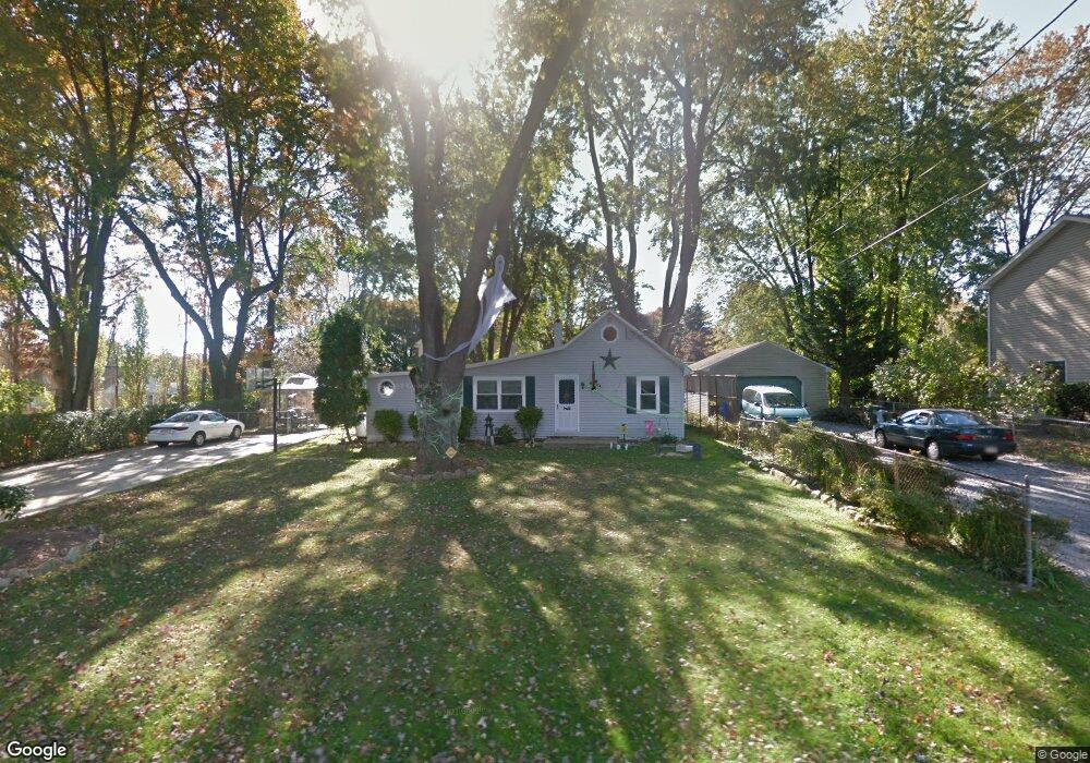
615 Avenue D Feasterville Trevose, PA 19053
Estimated Value: $303,000 - $323,000
3
Beds
1
Bath
770
Sq Ft
$403/Sq Ft
Est. Value
About This Home
This home is located at 615 Avenue D, Feasterville Trevose, PA 19053 and is currently estimated at $310,131, approximately $402 per square foot. 615 Avenue D is a home located in Bucks County with nearby schools including Tawanka Elementary School, Poquessing Middle School, and Neshaminy High School.
Ownership History
Date
Name
Owned For
Owner Type
Purchase Details
Closed on
May 31, 2002
Sold by
Hanson Glenn E and Hanson Lana
Bought by
Clark Timothy E
Current Estimated Value
Home Financials for this Owner
Home Financials are based on the most recent Mortgage that was taken out on this home.
Original Mortgage
$106,200
Outstanding Balance
$45,189
Interest Rate
6.9%
Estimated Equity
$264,942
Purchase Details
Closed on
Oct 8, 1985
Bought by
Hanson Glenn E and Hanson Lana
Create a Home Valuation Report for This Property
The Home Valuation Report is an in-depth analysis detailing your home's value as well as a comparison with similar homes in the area
Home Values in the Area
Average Home Value in this Area
Purchase History
| Date | Buyer | Sale Price | Title Company |
|---|---|---|---|
| Clark Timothy E | $118,000 | Lawyers Title Insurance Corp | |
| Hanson Glenn E | $35,000 | -- |
Source: Public Records
Mortgage History
| Date | Status | Borrower | Loan Amount |
|---|---|---|---|
| Open | Clark Timothy E | $106,200 |
Source: Public Records
Tax History Compared to Growth
Tax History
| Year | Tax Paid | Tax Assessment Tax Assessment Total Assessment is a certain percentage of the fair market value that is determined by local assessors to be the total taxable value of land and additions on the property. | Land | Improvement |
|---|---|---|---|---|
| 2025 | $2,468 | $11,600 | $3,280 | $8,320 |
| 2024 | $2,468 | $11,600 | $3,280 | $8,320 |
| 2023 | $2,445 | $11,600 | $3,280 | $8,320 |
| 2022 | $2,380 | $11,600 | $3,280 | $8,320 |
| 2021 | $2,380 | $11,600 | $3,280 | $8,320 |
| 2020 | $2,351 | $11,600 | $3,280 | $8,320 |
| 2019 | $2,297 | $11,600 | $3,280 | $8,320 |
| 2018 | $2,254 | $11,600 | $3,280 | $8,320 |
| 2017 | $2,196 | $11,600 | $3,280 | $8,320 |
| 2016 | $2,196 | $11,600 | $3,280 | $8,320 |
| 2015 | $1,557 | $11,600 | $3,280 | $8,320 |
| 2014 | $1,557 | $11,600 | $3,280 | $8,320 |
Source: Public Records
Map
Nearby Homes
- 533 Avenue F
- 1544 Brownsville Rd
- 3633 Brownsville Rd
- 1440 3rd St
- 611 Rosewood Ave
- 510 Walnut Ave
- 419 Cedar Ave
- 402 Larchwood Ave
- 387 Larchwood Ave
- 3866 Spruce Ave
- 1215 W Pine St
- 1515 N Meadowbrook Rd
- 235 Andrews Rd
- 503 W Pine St
- 160 Platt Place
- 517 Somers Ave
- 155 Platt Place
- 24 Springmeadow Rd
- 3138 Clay Ave
- 4357 Brownsville Rd