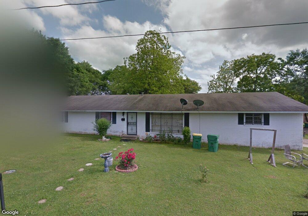
615 Blake St Texarkana, TX 75501
Estimated Value: $94,000 - $157,000
--
Bed
--
Bath
1,431
Sq Ft
$87/Sq Ft
Est. Value
About This Home
This home is located at 615 Blake St, Texarkana, TX 75501 and is currently estimated at $124,045, approximately $86 per square foot. 615 Blake St is a home located in Bowie County with nearby schools including Theron Jones Early Literacy Center, Westlawn Elementary School, and Texas Middle School.
Ownership History
Date
Name
Owned For
Owner Type
Purchase Details
Closed on
Mar 23, 2012
Sold by
Wright Mercy Susan Steed and Mercy John R
Bought by
Rivera Juan Moya
Current Estimated Value
Home Financials for this Owner
Home Financials are based on the most recent Mortgage that was taken out on this home.
Original Mortgage
$40,500
Outstanding Balance
$5,194
Interest Rate
3.9%
Mortgage Type
Purchase Money Mortgage
Estimated Equity
$118,851
Create a Home Valuation Report for This Property
The Home Valuation Report is an in-depth analysis detailing your home's value as well as a comparison with similar homes in the area
Home Values in the Area
Average Home Value in this Area
Purchase History
| Date | Buyer | Sale Price | Title Company |
|---|---|---|---|
| Rivera Juan Moya | $40,500 | None Available |
Source: Public Records
Mortgage History
| Date | Status | Borrower | Loan Amount |
|---|---|---|---|
| Open | Rivera Juan Moya | $40,500 |
Source: Public Records
Tax History Compared to Growth
Tax History
| Year | Tax Paid | Tax Assessment Tax Assessment Total Assessment is a certain percentage of the fair market value that is determined by local assessors to be the total taxable value of land and additions on the property. | Land | Improvement |
|---|---|---|---|---|
| 2025 | $1,189 | $107,695 | $5,500 | $102,195 |
| 2024 | $1,189 | $104,825 | $5,500 | $99,325 |
| 2023 | $2,314 | $97,707 | $5,500 | $92,207 |
| 2022 | $1,450 | $60,758 | $3,500 | $57,258 |
| 2021 | $1,361 | $53,233 | $2,500 | $50,733 |
| 2020 | $1,202 | $46,773 | $2,500 | $44,273 |
| 2019 | $1,214 | $45,520 | $2,500 | $43,020 |
| 2018 | $1,182 | $44,301 | $2,500 | $41,801 |
| 2017 | $1,248 | $46,930 | $2,500 | $44,430 |
| 2016 | $1,248 | $46,930 | $2,500 | $44,430 |
| 2015 | $1,280 | $49,493 | $2,500 | $46,993 |
| 2014 | $1,280 | $49,493 | $2,500 | $46,993 |
Source: Public Records
Map
Nearby Homes
- 1406 Richmond Rd
- 1010 Richmond Rd
- 1107 Wheeler St
- 1124 Wheeler St
- 3402 Pine Knoll Rd
- 2901 Marion St
- 2211 N Akin Ave
- tbd Collum St
- 1800 Goree St
- 321 Reading St
- 602 Wilson St
- 1709 Plant
- 2 Lambeth Place
- 2311 New Boston Rd
- 8 Lambeth Cir
- 0 Belt Rd Unit 118684
- 1 Lambeth Cir
- 207 Wildwood Dr
- 2122 Taylor St
- 2215 W 18th St
- 611 Blake St
- 607 Blake St
- 1202 Carroll Ave
- 1109 Carroll Ave
- 1107 Carroll Ave
- 620 Market St
- 612 Blake St
- 605 Blake St
- 1101 Carroll Ave
- 1101 Carroll Ave Unit The Units are 1101 &
- 610 Blake St
- 1206 Carroll Ave
- 610 Market St
- 610 & 612 Market
- 1205 Pierre St
- 617 Market St
- 1208 Carroll Ave
- 601 Blake St
- 1105 & 1107 Pierre
- 1207 Pierre St