Estimated Value: $295,361 - $447,000
--
Bed
--
Bath
2,288
Sq Ft
$152/Sq Ft
Est. Value
About This Home
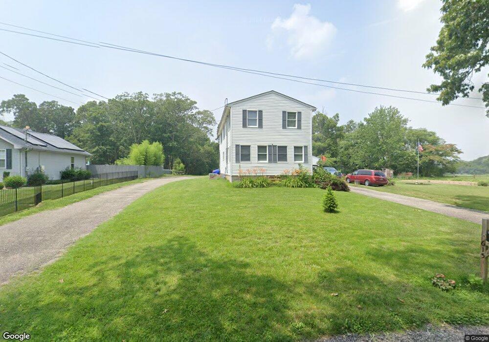
This home is located at 615 Canhouse Rd, Elmer, NJ 08318 and is currently estimated at $348,090, approximately $152 per square foot. 615 Canhouse Rd is a home located in Salem County with nearby schools including Elmer Elementary School, Pittsgrove Township Middle School, and Arthur P. Schalick High School.
Ownership History
Date
Name
Owned For
Owner Type
Purchase Details
Closed on
May 14, 2003
Sold by
Emc Mortgage Corp
Bought by
Brago Gregory
Current Estimated Value
Home Financials for this Owner
Home Financials are based on the most recent Mortgage that was taken out on this home.
Original Mortgage
$132,050
Outstanding Balance
$57,684
Interest Rate
5.86%
Mortgage Type
Purchase Money Mortgage
Estimated Equity
$290,406
Purchase Details
Closed on
Oct 4, 2002
Sold by
Wozunk David
Bought by
Emc Mortgage Corp
Create a Home Valuation Report for This Property
The Home Valuation Report is an in-depth analysis detailing your home's value as well as a comparison with similar homes in the area
Home Values in the Area
Average Home Value in this Area
Purchase History
| Date | Buyer | Sale Price | Title Company |
|---|---|---|---|
| Brago Gregory | $139,000 | Continental Land Title Svcs | |
| Emc Mortgage Corp | -- | -- |
Source: Public Records
Mortgage History
| Date | Status | Borrower | Loan Amount |
|---|---|---|---|
| Open | Brago Gregory | $132,050 |
Source: Public Records
Tax History Compared to Growth
Tax History
| Year | Tax Paid | Tax Assessment Tax Assessment Total Assessment is a certain percentage of the fair market value that is determined by local assessors to be the total taxable value of land and additions on the property. | Land | Improvement |
|---|---|---|---|---|
| 2025 | $7,037 | $166,200 | $40,500 | $125,700 |
| 2024 | $6,698 | $166,200 | $40,500 | $125,700 |
| 2023 | $6,698 | $166,200 | $40,500 | $125,700 |
| 2022 | $6,616 | $166,200 | $40,500 | $125,700 |
| 2021 | $6,435 | $166,200 | $40,500 | $125,700 |
| 2020 | $6,257 | $166,200 | $40,500 | $125,700 |
| 2019 | $6,151 | $166,200 | $40,500 | $125,700 |
| 2018 | $6,013 | $166,200 | $40,500 | $125,700 |
| 2017 | $5,780 | $166,200 | $40,500 | $125,700 |
| 2016 | $5,486 | $166,200 | $40,500 | $125,700 |
| 2015 | $5,224 | $166,200 | $40,500 | $125,700 |
| 2014 | $5,008 | $166,200 | $40,500 | $125,700 |
Source: Public Records
Map
Nearby Homes
- 765 Gershal Ave
- 58 Wallace St
- 834 Gershal Ave
- 0 Levishohn St
- 558 Gershal Ave
- 0 Block 2701 Lot 169 Landis Ave
- L 1 & 1.01 Shiff Ave
- 117 Middle Dr Unit 117
- 27 Briarwood Ln
- 8 Bayberry Ln Unit 8
- 119 Middle Dr Unit 23 DOGWOOD LANE
- 5 Briarwood Ln
- 933 Vineland Ave
- 1799 W Landis Ave
- 201 Morton Ave
- 874 Parvin Mill Rd
- L:39 S Mill Rd
- 544 Pine St
- 25 Steinfeld Ave
- 581 Morton Ave
- 621 Canhouse Rd
- 616 Canhouse Rd
- 622 Canhouse Rd
- 628 Canhouse Rd
- 635 Canhouse Rd
- 635 Canhouse Rd
- 594 Canhouse Rd Unit 598
- 641 Canhouse Rd
- 649 Canhouse Rd
- 63 Central Ave
- 1184 Landis Ave
- 55 Central Ave
- 1218 Landis Ave
- 56 Central Ave
- 124 Central Ave
- 37 Central Ave
- 1226 Landis Ave
- 31 Central Ave
- 745 Gershal Ave
- 27 Central Ave