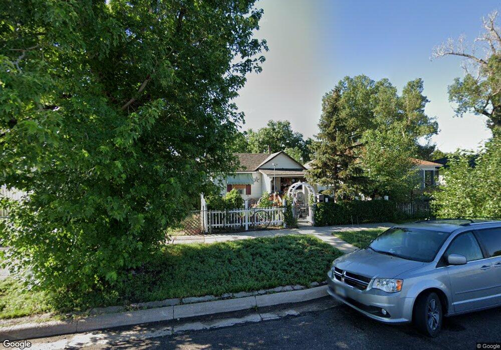
615 E 10th St Cheyenne, WY 82007
South Cheyenne NeighborhoodEstimated Value: $221,000 - $236,000
2
Beds
1
Bath
660
Sq Ft
$343/Sq Ft
Est. Value
About This Home
This home is located at 615 E 10th St, Cheyenne, WY 82007 and is currently estimated at $226,060, approximately $342 per square foot. 615 E 10th St is a home located in Laramie County with nearby schools including Hebard Elementary School, Johnson Junior High School, and South High School.
Ownership History
Date
Name
Owned For
Owner Type
Purchase Details
Closed on
Mar 17, 2011
Sold by
Us Bank National Association
Bought by
Tveter Greg and Tveter Nelly
Current Estimated Value
Purchase Details
Closed on
Dec 6, 2010
Sold by
Garcia Jeffrey Gordon and Garcia Joanne Marie
Bought by
Us Bank National Association
Purchase Details
Closed on
Jul 26, 2010
Sold by
Garcia Jeffrey Gordon and Garcia Joanne Marie
Bought by
Us Bank National Association
Purchase Details
Closed on
Aug 22, 2006
Sold by
Garcia Jeffrey Gordon and Garcia Joanne Marie
Bought by
Garcia Jeffrey Gordon and Garcia Joanne Marie
Create a Home Valuation Report for This Property
The Home Valuation Report is an in-depth analysis detailing your home's value as well as a comparison with similar homes in the area
Home Values in the Area
Average Home Value in this Area
Purchase History
| Date | Buyer | Sale Price | Title Company |
|---|---|---|---|
| Tveter Greg | -- | None Available | |
| Us Bank National Association | $41,992 | None Available | |
| Us Bank National Association | $42,922 | None Available | |
| Garcia Jeffrey Gordon | -- | None Available |
Source: Public Records
Tax History
| Year | Tax Paid | Tax Assessment Tax Assessment Total Assessment is a certain percentage of the fair market value that is determined by local assessors to be the total taxable value of land and additions on the property. | Land | Improvement |
|---|---|---|---|---|
| 2025 | $944 | $9,114 | $1,202 | $7,912 |
| 2024 | $944 | $16,343 | $2,404 | $13,939 |
| 2023 | $911 | $15,885 | $2,404 | $13,481 |
| 2022 | $775 | $13,738 | $2,404 | $11,334 |
| 2021 | $693 | $12,582 | $2,404 | $10,178 |
| 2020 | $542 | $10,514 | $2,404 | $8,110 |
| 2019 | $500 | $9,929 | $2,404 | $7,525 |
| 2018 | $443 | $9,188 | $2,404 | $6,784 |
| 2017 | $391 | $8,421 | $1,578 | $6,843 |
| 2016 | $339 | $7,702 | $1,478 | $6,224 |
| 2015 | $268 | $6,707 | $1,478 | $5,229 |
| 2014 | $263 | $6,618 | $1,491 | $5,127 |
Source: Public Records
Map
Nearby Homes
- 810 Maxwell Ave
- 506 E 7th St
- 220 E 8th St
- 809 E 5th St
- 714 E 15th St
- 701 E Lincolnway
- 304 E 4th St
- 600 Central Ave
- 800 E 3rd St
- 515 E 3rd St
- 807 E 3rd St
- 301 W 10th St
- 319 Hacienda Ct
- 802 E 18th St
- TBD Deming Dr
- 1818 Evans Ave Unit 7
- 1818 Evans Ave Unit 308
- 306 E 18th St Unit 307
- 306 E 18th St Unit 101
- TBD U S 30
Your Personal Tour Guide
Ask me questions while you tour the home.