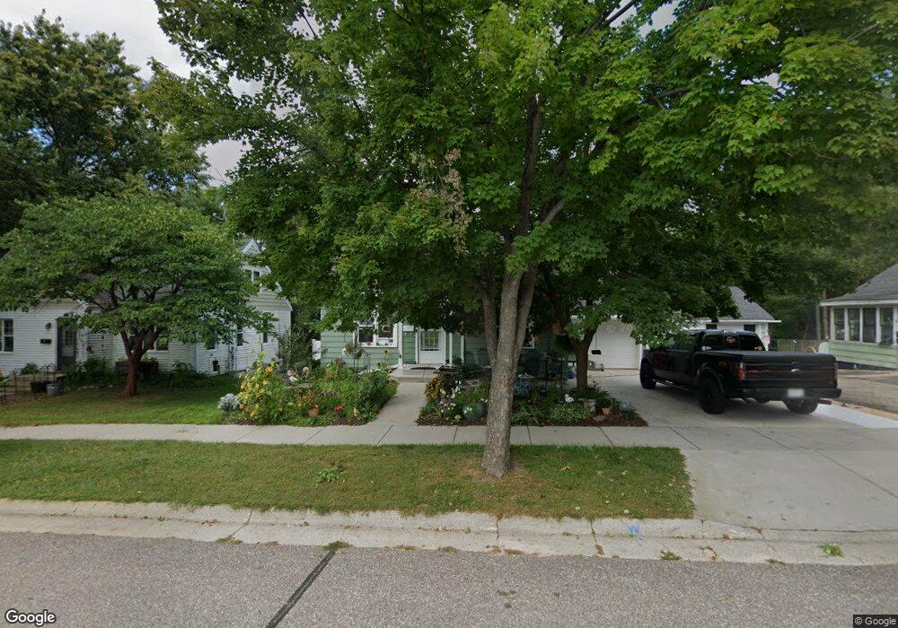
615 E Conant St Portage, WI 53901
Estimated Value: $177,000 - $216,000
3
Beds
2
Baths
1,370
Sq Ft
$148/Sq Ft
Est. Value
About This Home
This home is located at 615 E Conant St, Portage, WI 53901 and is currently estimated at $202,667, approximately $147 per square foot. 615 E Conant St is a home located in Columbia County with nearby schools including Endeavor Elementary School, Woodridge Elementary School, and Muir Elementary School.
Ownership History
Date
Name
Owned For
Owner Type
Purchase Details
Closed on
Nov 29, 2010
Sold by
Sdb Liv Trust
Bought by
Byrd Pamela J
Current Estimated Value
Purchase Details
Closed on
Jan 20, 2010
Sold by
Wells Fargo Bank N A
Bought by
Hud
Purchase Details
Closed on
Jul 27, 2009
Sold by
Borman Philip J
Bought by
Wells Fargo Bank N A
Purchase Details
Closed on
Apr 30, 2007
Sold by
Bear Martha A
Bought by
Borman Philip J
Create a Home Valuation Report for This Property
The Home Valuation Report is an in-depth analysis detailing your home's value as well as a comparison with similar homes in the area
Home Values in the Area
Average Home Value in this Area
Purchase History
| Date | Buyer | Sale Price | Title Company |
|---|---|---|---|
| Byrd Pamela J | $72,400 | -- | |
| Hud | $125,300 | -- | |
| Wells Fargo Bank N A | $125,300 | -- | |
| Borman Philip J | $111,000 | -- |
Source: Public Records
Tax History
| Year | Tax Paid | Tax Assessment Tax Assessment Total Assessment is a certain percentage of the fair market value that is determined by local assessors to be the total taxable value of land and additions on the property. | Land | Improvement |
|---|---|---|---|---|
| 2025 | $3,268 | $169,200 | $11,400 | $157,800 |
| 2024 | $3,193 | $169,200 | $11,400 | $157,800 |
| 2023 | $2,475 | $154,400 | $11,400 | $143,000 |
| 2022 | $2,494 | $141,200 | $11,400 | $129,800 |
| 2021 | $2,322 | $122,700 | $11,400 | $111,300 |
| 2020 | $2,337 | $118,800 | $11,400 | $107,400 |
| 2019 | $2,215 | $110,800 | $11,400 | $99,400 |
| 2018 | $2,224 | $110,800 | $11,400 | $99,400 |
| 2017 | $2,046 | $96,000 | $11,400 | $84,600 |
| 2016 | $1,813 | $87,200 | $11,400 | $75,800 |
| 2015 | $2,057 | $83,400 | $11,400 | $72,000 |
| 2014 | $2,265 | $78,400 | $11,400 | $67,000 |
Source: Public Records
Map
Nearby Homes
- 632 E Cook St
- 410 E Howard St
- 321 E Carroll St
- 218 E Pleasant St
- 212 E Carroll St
- 307 E Marion St
- 115 E Conant St
- 127 E Franklin St
- 132 E Marion St
- 11271-111 Wauona Trail
- 709 Dewitt St
- 1002 Adams St
- 208 W Pleasant St
- 20.12 Acres Wisconsin 33
- 218 W Emmett St
- 0 Airport Rd
- 535 E Slifer St Unit 1
- 523 W Edgewater St
- 614 W Pleasant St
- 627 Prospect Ave
- 611 E Conant St
- 623 E Conant St
- 627 E Conant St
- 609 E Conant St
- 624 E Conant St
- 631 E Conant St
- 605 E Conant St
- 618 E Conant St
- 612 E Conant St
- 601 E Conant St
- 630 E Conant St
- 606 E Conant St
- 602 E Conant St
- 619 E Cook St
- 615 E Cook St
- 623 E Cook St
- 625 E Cook St
- 531 E Conant St
- 430 E Pleasant St
- 530 E Conant St
Your Personal Tour Guide
Ask me questions while you tour the home.