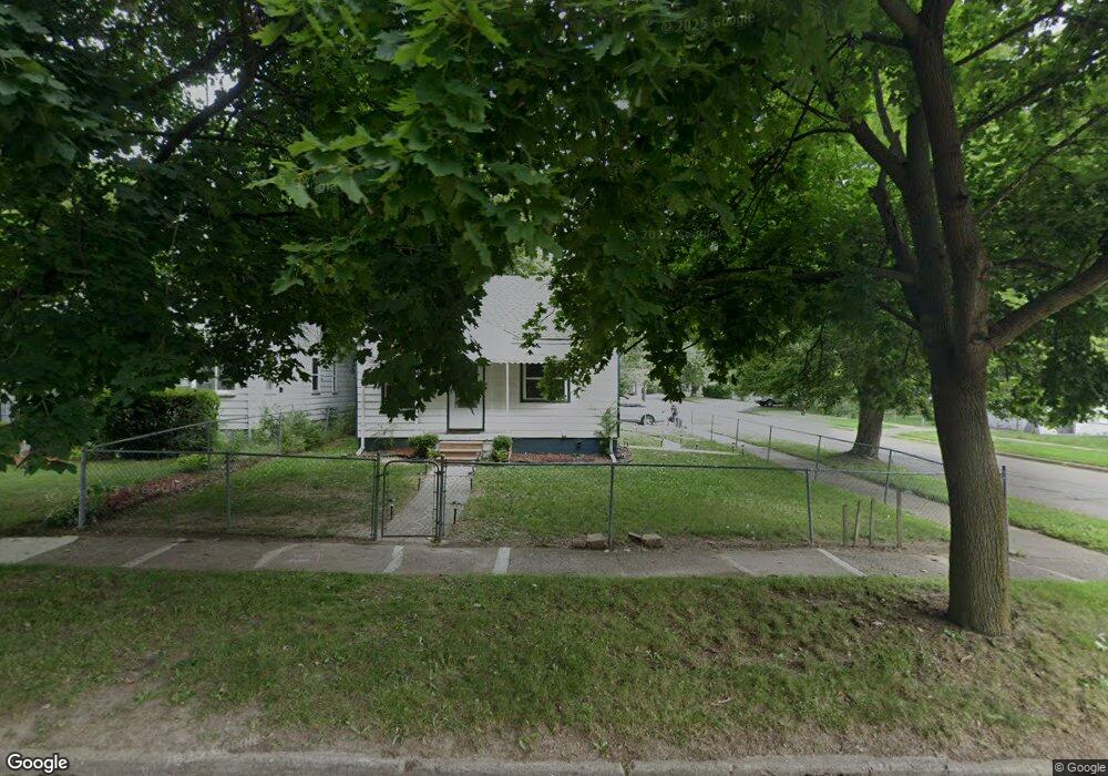
615 E Mansfield Ave Unit Bldg-Unit Pontiac, MI 48340
Estimated Value: $138,000 - $170,000
3
Beds
2
Baths
975
Sq Ft
$158/Sq Ft
Est. Value
About This Home
This home is located at 615 E Mansfield Ave Unit Bldg-Unit, Pontiac, MI 48340 and is currently estimated at $153,646, approximately $157 per square foot. 615 E Mansfield Ave Unit Bldg-Unit is a home located in Oakland County with nearby schools including Owen Elementary School, Pontiac Middle School, and Pontiac High School.
Ownership History
Date
Name
Owned For
Owner Type
Purchase Details
Closed on
Dec 29, 2021
Sold by
Desi Tycoons Llc
Bought by
Ferrell Michael D
Current Estimated Value
Purchase Details
Closed on
Jun 1, 2018
Sold by
Pugh Wendell and Pugh Wendeel
Bought by
Desi Tycoons Llc And Blue Key Investment
Purchase Details
Closed on
Aug 7, 2015
Sold by
Lanway Kip and Lanway Maria
Bought by
Pugh Wendeel
Purchase Details
Closed on
Aug 2, 2010
Sold by
Covington Franklin T and Covington Rebecca S
Bought by
Lanway Kip A
Create a Home Valuation Report for This Property
The Home Valuation Report is an in-depth analysis detailing your home's value as well as a comparison with similar homes in the area
Home Values in the Area
Average Home Value in this Area
Purchase History
| Date | Buyer | Sale Price | Title Company |
|---|---|---|---|
| Ferrell Michael D | -- | New Title Company Name | |
| Desi Tycoons Llc And Blue Key Investment | $47,000 | Ata National Title Group Llc | |
| Pugh Wendeel | $23,500 | Lawyers Title Insurance Corp | |
| Lanway Kip A | $12,000 | Multiple |
Source: Public Records
Tax History
| Year | Tax Paid | Tax Assessment Tax Assessment Total Assessment is a certain percentage of the fair market value that is determined by local assessors to be the total taxable value of land and additions on the property. | Land | Improvement |
|---|---|---|---|---|
| 2025 | $2,211 | $46,940 | $0 | $0 |
| 2024 | $2,065 | $43,180 | $0 | $0 |
| 2023 | $1,968 | $38,710 | $0 | $0 |
| 2022 | $1,961 | $34,100 | $0 | $0 |
| 2021 | $1,899 | $29,970 | $0 | $0 |
| 2020 | $1,328 | $27,180 | $0 | $0 |
| 2019 | $2,528 | $23,740 | $0 | $0 |
| 2018 | $1,113 | $21,850 | $0 | $0 |
| 2017 | $3,056 | $21,080 | $0 | $0 |
| 2016 | $1,091 | $18,630 | $0 | $0 |
| 2015 | -- | $16,100 | $0 | $0 |
| 2014 | -- | $13,970 | $0 | $0 |
| 2011 | -- | $21,600 | $0 | $0 |
Source: Public Records
Map
Nearby Homes
- 594 E Mansfield Ave
- 635 E Tennyson Ave
- 595 E Tennyson Ave
- 630 E Madison Ave
- 671 E Mansfield Ave
- 590 E Madison Ave
- 683 E Mansfield Ave
- 165 Lot 220 S Opdyke Rd
- 603 Wesbrook St
- 635 Wesbrook St
- 691 3rd Ave
- 638 Raskob St
- 575 4th Ave
- 771 Robinwood St
- 577 Peacock Ave
- 811 Melrose St
- 730 Stirling St
- 672 Linda Vista Dr
- 1005 Emerson Ave
- 000 S Walton
- 615 E Mansfield Ave
- 615 E Mansfield Ave
- 611 E Mansfield Ave
- 627 E Mansfield Ave
- 631 E Mansfield Ave
- 614 E Tennyson Ave
- 606 E Tennyson Ave
- 603 E Mansfield Ave
- 635 E Mansfield Ave
- 626 E Tennyson Ave
- 610 E Mansfield Ave
- 639 E Mansfield Ave
- 630 E Tennyson Ave
- 626 E Mansfield Ave
- 634 E Tennyson Ave
- 598 E Tennyson Ave
- 606 E Mansfield Ave Unit Bldg-Unit
- 630 E Mansfield Ave
- 602 E Mansfield Ave
Your Personal Tour Guide
Ask me questions while you tour the home.