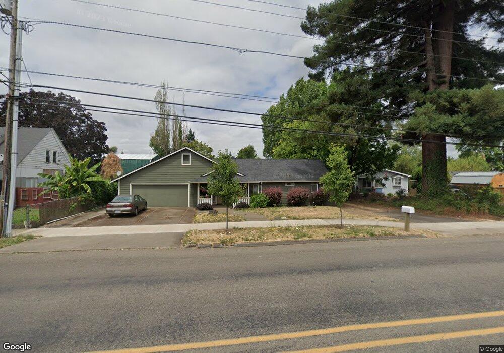
615 Ferry St Dayton, OR 97114
Estimated Value: $426,000 - $569,000
3
Beds
2
Baths
1,582
Sq Ft
$322/Sq Ft
Est. Value
About This Home
This home is located at 615 Ferry St, Dayton, OR 97114 and is currently estimated at $508,921, approximately $321 per square foot. 615 Ferry St is a home located in Yamhill County with nearby schools including Dayton Grade School, Dayton Junior High School, and Dayton High School.
Ownership History
Date
Name
Owned For
Owner Type
Purchase Details
Closed on
Aug 5, 2008
Sold by
Windish Peter M
Bought by
Windish Peter M and Windish Susan
Current Estimated Value
Home Financials for this Owner
Home Financials are based on the most recent Mortgage that was taken out on this home.
Original Mortgage
$248,776
Interest Rate
6.42%
Mortgage Type
Stand Alone Refi Refinance Of Original Loan
Purchase Details
Closed on
May 17, 2004
Sold by
Windish Peter M and Windish Susan L
Bought by
Windish Peter M
Home Financials for this Owner
Home Financials are based on the most recent Mortgage that was taken out on this home.
Original Mortgage
$22,000
Interest Rate
5.86%
Mortgage Type
Credit Line Revolving
Create a Home Valuation Report for This Property
The Home Valuation Report is an in-depth analysis detailing your home's value as well as a comparison with similar homes in the area
Home Values in the Area
Average Home Value in this Area
Purchase History
| Date | Buyer | Sale Price | Title Company |
|---|---|---|---|
| Windish Peter M | -- | Fnt | |
| Windish Peter M | -- | Ticor Title Insurance Co |
Source: Public Records
Mortgage History
| Date | Status | Borrower | Loan Amount |
|---|---|---|---|
| Closed | Windish Peter M | $248,776 | |
| Closed | Windish Peter M | $22,000 |
Source: Public Records
Tax History Compared to Growth
Tax History
| Year | Tax Paid | Tax Assessment Tax Assessment Total Assessment is a certain percentage of the fair market value that is determined by local assessors to be the total taxable value of land and additions on the property. | Land | Improvement |
|---|---|---|---|---|
| 2024 | $4,445 | $280,578 | -- | -- |
| 2023 | $4,342 | $272,406 | $0 | $0 |
| 2022 | $4,270 | $264,472 | $0 | $0 |
| 2021 | $4,187 | $256,769 | $0 | $0 |
| 2020 | $4,090 | $249,290 | $0 | $0 |
| 2019 | $4,003 | $242,029 | $0 | $0 |
| 2018 | $3,910 | $234,980 | $0 | $0 |
| 2017 | $3,824 | $228,136 | $0 | $0 |
| 2016 | $3,689 | $221,491 | $0 | $0 |
| 2015 | $3,091 | $182,916 | $0 | $0 |
| 2014 | $3,007 | $177,590 | $0 | $0 |
Source: Public Records
Map
Nearby Homes
- 704 Main St
- 0 Church St Unit 381978552
- 706 Elizabeth Ct
- 0 4th St
- 765 Joel Palmer Way
- 707 Ash St
- 708 Bell St
- 304 Mill St
- 102 3rd St
- 210 Mill St
- 1005 Ferry St
- 1020 Ash St
- 0 SE Palmer Ln Unit 309236968
- Lot 1700 SE Palmer Ln
- 102 Ashley Ct
- 307 Flower Ln
- 16190 SE Kreder Rd
- 13600 SE Fletcher Rd
- 790 SE Neck Rd
- 13400 SE Ash Rd