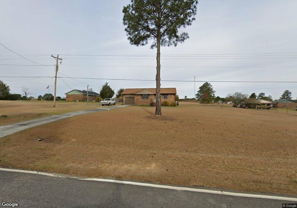
615 George McDuffie Rd Thomson, GA 30824
Estimated Value: $137,000 - $161,067
2
Beds
2
Baths
875
Sq Ft
$174/Sq Ft
Est. Value
About This Home
This home is located at 615 George McDuffie Rd, Thomson, GA 30824 and is currently estimated at $152,267, approximately $174 per square foot. 615 George McDuffie Rd is a home located in McDuffie County with nearby schools including Thomson High School.
Ownership History
Date
Name
Owned For
Owner Type
Purchase Details
Closed on
Apr 30, 2012
Sold by
Raburn Mary M
Bought by
Quarles Charles Kevin and Sewell Sonya L
Current Estimated Value
Purchase Details
Closed on
Sep 6, 2000
Sold by
Raburn Archie Walter
Bought by
Raburn Mary M
Purchase Details
Closed on
Sep 7, 1999
Sold by
Smith Terrell D
Bought by
United States Of America
Purchase Details
Closed on
Nov 12, 1993
Bought by
Smith Terrell D
Create a Home Valuation Report for This Property
The Home Valuation Report is an in-depth analysis detailing your home's value as well as a comparison with similar homes in the area
Home Values in the Area
Average Home Value in this Area
Purchase History
| Date | Buyer | Sale Price | Title Company |
|---|---|---|---|
| Quarles Charles Kevin | $46,000 | -- | |
| Raburn Mary M | $59,000 | -- | |
| United States Of America | $46,500 | -- | |
| Smith Terrell D | $46,500 | -- |
Source: Public Records
Tax History Compared to Growth
Tax History
| Year | Tax Paid | Tax Assessment Tax Assessment Total Assessment is a certain percentage of the fair market value that is determined by local assessors to be the total taxable value of land and additions on the property. | Land | Improvement |
|---|---|---|---|---|
| 2025 | $852 | $50,604 | $3,256 | $47,348 |
| 2024 | $852 | $48,172 | $3,160 | $45,012 |
| 2023 | $826 | $46,240 | $3,000 | $43,240 |
| 2022 | $600 | $36,423 | $3,000 | $33,423 |
| 2021 | $410 | $29,222 | $3,000 | $26,222 |
| 2020 | $331 | $26,746 | $2,200 | $24,546 |
| 2019 | $335 | $26,746 | $2,200 | $24,546 |
| 2018 | $335 | $26,746 | $2,200 | $24,546 |
| 2017 | $323 | $26,746 | $2,200 | $24,546 |
| 2016 | $323 | $26,746 | $2,200 | $24,546 |
| 2015 | $295 | $26,745 | $2,200 | $24,546 |
| 2014 | $671 | $26,746 | $2,200 | $24,546 |
| 2013 | -- | $26,745 | $2,200 | $24,545 |
Source: Public Records
Map
Nearby Homes
- 789 George McDuffie Rd
- 1543 Wrens Hwy
- 000 Wrens Hwy
- 1761 Augusta Hwy
- 1008 Wrens Hwy
- 0 Wrens Hwy Unit 10652460
- 0 Wrens Hwy Unit 549833
- 1463 Lokey Dr
- 415 Stonewall Dr
- 118 Langham St
- 306 Michael St
- 354 King St
- 709 Pine Lane Dr
- 416 Forrest Clary Dr
- 67 Shadowmoor Cir
- 609 Hillcrest Dr
- 421 Salem Rd
- 2522 Ellington Airline Rd
- A-00 Harrison Rd