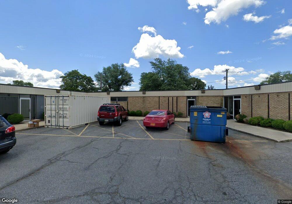
615 Hammonds Ln Baltimore, MD 21225
Pumphrey NeighborhoodEstimated Value: $974,660
Studio
--
Bath
9,940
Sq Ft
$98/Sq Ft
Est. Value
About This Home
This home is located at 615 Hammonds Ln, Baltimore, MD 21225 and is currently estimated at $974,660, approximately $98 per square foot. 615 Hammonds Ln is a home located in Anne Arundel County with nearby schools including Brooklyn Park Elementary School, Brooklyn Park Middle School, and North County High School.
Ownership History
Date
Name
Owned For
Owner Type
Purchase Details
Closed on
Feb 11, 2021
Sold by
Hammonds Lane Meridian Lp
Bought by
615 Hammonds Lane Real Property Sf Llc
Current Estimated Value
Purchase Details
Closed on
Jan 3, 2006
Sold by
Hammonds 615 Llc
Bought by
Hammonds Land Meridian Ltd Ptnshp
Purchase Details
Closed on
Dec 30, 2005
Sold by
Hammonds 615 Llc
Bought by
Hammonds Land Meridian Ltd Ptnshp
Purchase Details
Closed on
Jun 3, 2002
Sold by
Hammonds Ii Llc
Bought by
Hammonds 615 Llc
Purchase Details
Closed on
Jun 30, 2000
Sold by
Berdann Benj
Bought by
Hammonds Ii Llc
Create a Home Valuation Report for This Property
The Home Valuation Report is an in-depth analysis detailing your home's value as well as a comparison with similar homes in the area
Home Values in the Area
Average Home Value in this Area
Purchase History
| Date | Buyer | Sale Price | Title Company |
|---|---|---|---|
| 615 Hammonds Lane Real Property Sf Llc | -- | Landmark Abstract Agency Llc | |
| Hammonds Land Meridian Ltd Ptnshp | $700,000 | -- | |
| Hammonds Land Meridian Ltd Ptnshp | $700,000 | -- | |
| Hammonds 615 Llc | $572,000 | -- | |
| Hammonds Ii Llc | $300,000 | -- |
Source: Public Records
Tax History
| Year | Tax Paid | Tax Assessment Tax Assessment Total Assessment is a certain percentage of the fair market value that is determined by local assessors to be the total taxable value of land and additions on the property. | Land | Improvement |
|---|---|---|---|---|
| 2025 | $7,923 | $639,300 | $165,300 | $474,000 |
| 2024 | $7,923 | $626,200 | $0 | $0 |
Source: Public Records
Map
Nearby Homes
- 701 Hammonds Ln
- 635 Sunset Strip
- 715 Hammonds Ln
- 5912 Helfrich Rd
- 724 Sunnyfield Ln
- 758 Sunnyfield Ln
- 120 Cedar Hill Rd
- 318 Holy Cross Rd
- 308 Holy Cross Rd
- 205 Camrose Ave
- 10 Cedar Hill Rd
- 307 Key Ave
- 6454 Continental Dr
- 312 Elizabeth Ave
- 5904 Belle Grove Rd
- 6028 A Belle Grove Rd
- 5733 Howard Dr
- 5724 Howard Dr
- 5729 Howard Dr
- 5722 Howard Dr
- 619 W Cedar Hill Rd
- 621 W Cedar Hill Rd
- 615 W Cedar Hill Rd
- 613 W Cedar Hill Rd
- 616 Cresswell Rd
- 611 W Cedar Hill Rd
- 618 Cresswell Rd
- 620 Cresswell Rd
- 614 Cresswell Rd
- 609 W Cedar Hill Rd
- 612 Cresswell Rd
- 624 Cresswell Rd
- 608 Hammonds Ln
- 610 Hammonds Ln
- 626 Cresswell Rd
- 610 Cresswell Rd
- 607 W Cedar Hill Rd
- 638 Cresswell Rd
- 702 Hammonds Ln
- 605 W Cedar Hill Rd
Your Personal Tour Guide
Ask me questions while you tour the home.