615 Hillside Dr West Point, MS 39773
Estimated Value: $232,000 - $408,282
5
Beds
--
Bath
4,408
Sq Ft
$77/Sq Ft
Est. Value
About This Home
This home is located at 615 Hillside Dr, West Point, MS 39773 and is currently estimated at $341,571, approximately $77 per square foot. 615 Hillside Dr is a home located in Clay County with nearby schools including East Side Elementary School, West Clay Elementary School, and Church Hill Elementary School.
Ownership History
Date
Name
Owned For
Owner Type
Purchase Details
Closed on
Aug 1, 2023
Sold by
Beverly Ann Shields Revocable Trust
Bought by
Beverly Ann Shields Revocable Trust and Shields
Current Estimated Value
Purchase Details
Closed on
Mar 28, 2018
Sold by
Shields John G and Shields Beverly Ann Branyley
Bought by
Beverly Ann Shields Revocable Trust
Create a Home Valuation Report for This Property
The Home Valuation Report is an in-depth analysis detailing your home's value as well as a comparison with similar homes in the area
Purchase History
| Date | Buyer | Sale Price | Title Company |
|---|---|---|---|
| Beverly Ann Shields Revocable Trust | -- | None Listed On Document | |
| Beverly Ann Shields Revocable Trust | -- | None Listed On Document | |
| Beverly Ann Shields Revocable Trust | -- | -- |
Source: Public Records
Tax History
| Year | Tax Paid | Tax Assessment Tax Assessment Total Assessment is a certain percentage of the fair market value that is determined by local assessors to be the total taxable value of land and additions on the property. | Land | Improvement |
|---|---|---|---|---|
| 2025 | $1,134 | $28,411 | $3,689 | $24,722 |
| 2024 | $1,134 | $28,411 | $3,689 | $24,722 |
| 2023 | $3,130 | $28,411 | $3,689 | $24,722 |
| 2022 | $1,166 | $28,411 | $3,689 | $24,722 |
| 2021 | $1,152 | $28,411 | $3,689 | $24,722 |
| 2020 | $1,157 | $28,411 | $3,689 | $24,722 |
| 2019 | $1,078 | $28,411 | $3,689 | $24,722 |
| 2018 | $1,044 | $28,411 | $3,689 | $24,722 |
| 2017 | $1,035 | $28,411 | $3,689 | $24,722 |
| 2016 | $1,026 | $28,411 | $3,689 | $24,722 |
| 2015 | $1,172 | $26,326 | $3,689 | $22,637 |
| 2014 | $1,035 | $26,077 | $3,689 | $22,388 |
| 2013 | $1,035 | $26,077 | $3,689 | $22,388 |
Source: Public Records
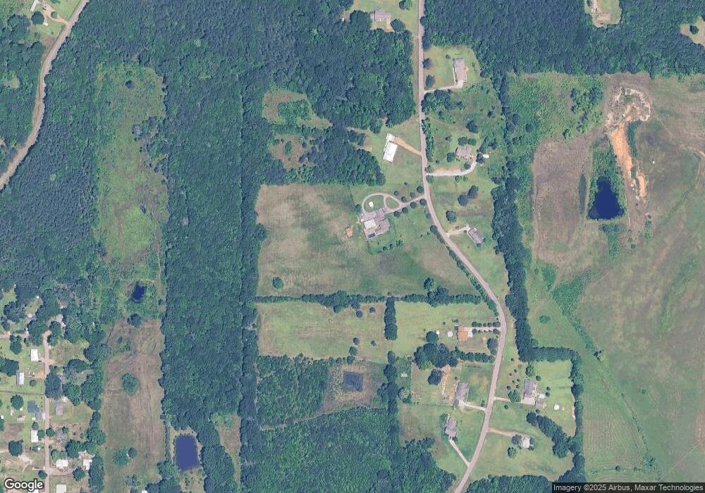
Map
Nearby Homes
- 593 Lone Oak Park
- 222 Lone Oak Park
- 67 Lone Oak Cir
- 593 Lone Oak Dr
- 165 William Huffman Rd
- 171 Fagan Blvd
- 399 Lone Oak Dr
- 7642 Highway 45 Alternate N
- 49 Barksdale Dr
- 0 U S 45 Alternate
- 0 Mississippi 50
- 13 Cul de Sac St
- 0 Us Hwy 45a Unit 4033641
- 0 Us Hwy 45a Unit 22-3720
- 159 Washington St
- 0 Us-45 Alt N Lot 14
- 0 Kennedy Dr
- 0 Hwy 45 Alt N
- 201 Quail Ridge Rd
- 229 S Division St
- 682 Hillside Dr
- 705 Hillside Dr
- 261 Hillside Dr
- 495 Hillside Dr
- 209 Hillside Dr
- 246 Hillside Dr
- 430 Hillside Dr
- 420 Hillside Dr
- 829 Hillside Dr
- 507 Hillside Dr
- 256 Hillside Dr
- 24197 Mississippi 50
- 24197 Ms-50
- 189 Hillside Dr
- 560 Hillside Dr
- 2893 Highway 50 E
- 54 Whitetail Cir
- 154 Whitetail Cir
- 23930 Highway 50 W
- 24365 Highway 50 W
Your Personal Tour Guide
Ask me questions while you tour the home.