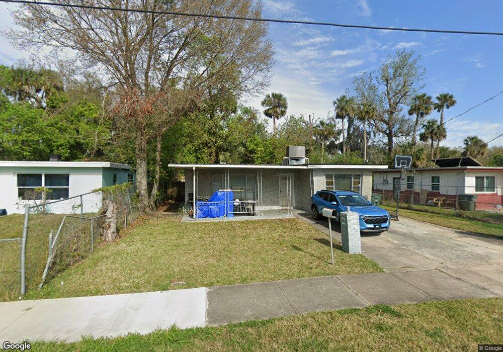
615 Hudson St Daytona Beach, FL 32114
Central Daytona NeighborhoodEstimated Value: $195,000 - $208,031
3
Beds
2
Baths
1,584
Sq Ft
$127/Sq Ft
Est. Value
About This Home
This home is located at 615 Hudson St, Daytona Beach, FL 32114 and is currently estimated at $200,758, approximately $126 per square foot. 615 Hudson St is a home located in Volusia County with nearby schools including Turie T. Small Elementary School, Campbell Middle School, and Spruce Creek High School.
Ownership History
Date
Name
Owned For
Owner Type
Purchase Details
Closed on
Oct 19, 2006
Sold by
Allen Hazel M
Bought by
Hudson St 615 Land Trust
Current Estimated Value
Purchase Details
Closed on
Dec 31, 1997
Sold by
Bell Louis A and Bell Karen D
Bought by
Allen Hazel M and Allen Roberta
Home Financials for this Owner
Home Financials are based on the most recent Mortgage that was taken out on this home.
Original Mortgage
$50,000
Interest Rate
7.2%
Purchase Details
Closed on
Jan 17, 1997
Sold by
Bell Louis A and Bell Karen D
Bought by
Bell Louis A and Bell Karen D
Create a Home Valuation Report for This Property
The Home Valuation Report is an in-depth analysis detailing your home's value as well as a comparison with similar homes in the area
Home Values in the Area
Average Home Value in this Area
Purchase History
| Date | Buyer | Sale Price | Title Company |
|---|---|---|---|
| Hudson St 615 Land Trust | -- | None Available | |
| Allen Hazel M | $55,000 | -- | |
| Bell Louis A | -- | -- |
Source: Public Records
Mortgage History
| Date | Status | Borrower | Loan Amount |
|---|---|---|---|
| Previous Owner | Allen Hazel M | $50,000 |
Source: Public Records
Tax History Compared to Growth
Tax History
| Year | Tax Paid | Tax Assessment Tax Assessment Total Assessment is a certain percentage of the fair market value that is determined by local assessors to be the total taxable value of land and additions on the property. | Land | Improvement |
|---|---|---|---|---|
| 2025 | $527 | $68,490 | -- | -- |
| 2024 | $527 | $66,560 | -- | -- |
| 2023 | $527 | $64,622 | $0 | $0 |
| 2022 | $524 | $62,740 | $0 | $0 |
| 2021 | $547 | $60,913 | $0 | $0 |
| 2020 | $543 | $60,072 | $0 | $0 |
| 2019 | $545 | $58,721 | $0 | $0 |
| 2018 | $557 | $57,626 | $0 | $0 |
| 2017 | $572 | $56,441 | $0 | $0 |
| 2016 | $593 | $55,280 | $0 | $0 |
| 2015 | $620 | $54,896 | $0 | $0 |
| 2014 | $622 | $54,460 | $0 | $0 |
Source: Public Records
Map
Nearby Homes
- 643 Mc Cormick St
- 704 Cedar St
- 635 Mccormick St
- 704 Park Dr
- 241 Martin Luther King Blvd S
- 735 Martin Luther King Blvd S
- 616 Cedar Park Dr
- 547 Division St
- 562 South St
- TBD Division St
- 530 George St
- 716 Verdell St
- 552 Wells St
- 742 Whitehall St
- 437 Lockhart St
- 812 Kottle Cir S
- 812 Kottle Cir S Unit S
- 642 Bellevue Ave
- 425 Lockhart St
- 611 Marion St