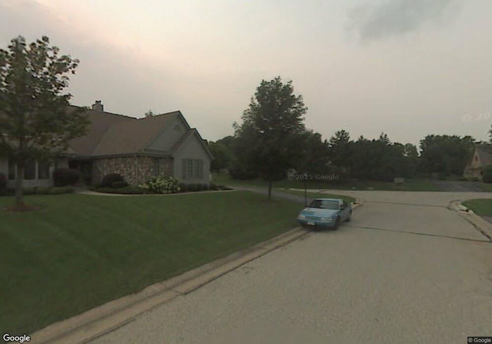
615 Mac Henry Cir Unit C Brookfield, WI 53045
Estimated Value: $448,176 - $458,000
2
Beds
4
Baths
2,010
Sq Ft
$226/Sq Ft
Est. Value
About This Home
This home is located at 615 Mac Henry Cir Unit C, Brookfield, WI 53045 and is currently estimated at $454,044, approximately $225 per square foot. 615 Mac Henry Cir Unit C is a home located in Waukesha County with nearby schools including John F. Miller School, Hillcrest Elementary School, and Horning Middle School.
Create a Home Valuation Report for This Property
The Home Valuation Report is an in-depth analysis detailing your home's value as well as a comparison with similar homes in the area
Home Values in the Area
Average Home Value in this Area
Tax History Compared to Growth
Tax History
| Year | Tax Paid | Tax Assessment Tax Assessment Total Assessment is a certain percentage of the fair market value that is determined by local assessors to be the total taxable value of land and additions on the property. | Land | Improvement |
|---|---|---|---|---|
| 2024 | $3,733 | $378,400 | $100,000 | $278,400 |
| 2023 | $3,723 | $378,400 | $100,000 | $278,400 |
| 2022 | $4,052 | $304,700 | $90,000 | $214,700 |
| 2021 | $4,096 | $304,700 | $90,000 | $214,700 |
| 2020 | $4,213 | $304,700 | $90,000 | $214,700 |
| 2019 | $4,135 | $304,700 | $90,000 | $214,700 |
| 2018 | $3,928 | $288,300 | $70,000 | $218,300 |
| 2017 | $3,975 | $288,300 | $70,000 | $218,300 |
| 2016 | $4,223 | $288,300 | $70,000 | $218,300 |
| 2015 | $4,021 | $288,300 | $70,000 | $218,300 |
| 2014 | $4,362 | $288,300 | $70,000 | $218,300 |
| 2013 | $4,362 | $288,300 | $70,000 | $218,300 |
Source: Public Records
Map
Nearby Homes
- 655 Mac Henry Cir Unit B
- 675 Charleston Ct Unit B
- 18785 Davidson Rd
- 18740 Emerald Cir Unit E
- 18520 Emerald Cir Unit F
- 18425 Emerald Dr Unit G
- 550 McPride Ln Unit B
- 18290 Prairie Falcon Ln
- 165 Aerie Cir Unit 105
- 19770 Foxkirk Ct
- 18710 Follett Dr Unit 502
- Lt1 Davidson Rd
- 18575 Brookfield Lake Dr Unit 61
- 18275 Brookfield Lake Dr Unit 93
- 1419 S West Ln
- 18415 W Wisconsin Ave Unit 18415
- 1230 Georges Ave
- 760 N Brookfield Rd Unit 202
- 17303 W Greenfield Ave
- 1080 Westbrooke Pkwy
- 615 Mac Henry Cir Unit B
- 615 Mac Henry Cir Unit D
- 615 Mac Henry Cir
- 620 Willowick Ct Unit D
- 620 Willowick Ct Unit C
- 620 Willowick Ct Unit A
- 620 Willowick Ct Unit B
- 665C Mac Henry Cir
- 655 Mac Henry Cir Unit C
- 655 Mac Henry Cir Unit D
- 655 Mac Henry Cir Unit A
- 640 Mac Henry Cir Unit A
- 640 Mac Henry Cir Unit B
- 18905 Stonehedge Dr Unit C
- 18905 Stonehedge Dr Unit B
- 18905 Stonehedge Dr Unit A
- 18905 Stonehedge Dr Unit 18905
- 670 Willowick Ct Unit A
- 670 Willowick Ct Unit B
- 18980 Stonehedge Dr Unit A