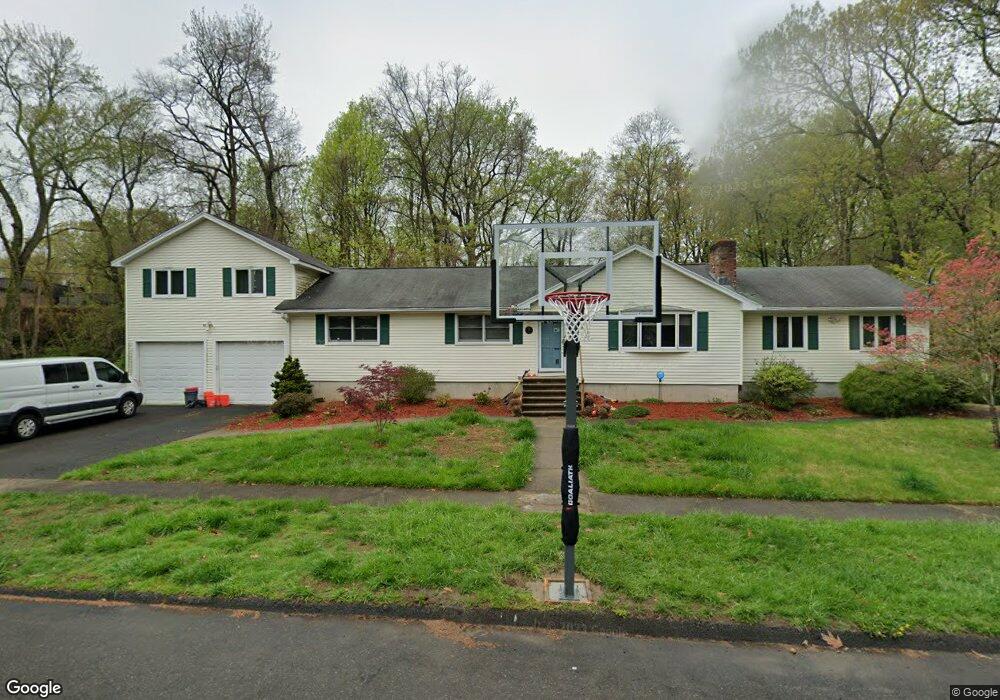
615 N Johnson Ln Stratford, CT 06614
Estimated Value: $527,000 - $718,000
4
Beds
4
Baths
3,112
Sq Ft
$204/Sq Ft
Est. Value
About This Home
This home is located at 615 N Johnson Ln, Stratford, CT 06614 and is currently estimated at $635,425, approximately $204 per square foot. 615 N Johnson Ln is a home located in Fairfield County with nearby schools including Second Hill Lane Elementary School, Harry B. Flood Middle School, and Bunnell High School.
Ownership History
Date
Name
Owned For
Owner Type
Purchase Details
Closed on
Feb 7, 2023
Sold by
Ditoro Matthew J and Ditoro Pamela M
Bought by
Ditoro Molly K and Witkowski William B
Current Estimated Value
Purchase Details
Closed on
Nov 14, 1997
Sold by
Finnegan Mildred Est
Bought by
Ditoro Matthew J and Ditoro Patricia
Home Financials for this Owner
Home Financials are based on the most recent Mortgage that was taken out on this home.
Original Mortgage
$120,000
Interest Rate
7.23%
Mortgage Type
Unknown
Create a Home Valuation Report for This Property
The Home Valuation Report is an in-depth analysis detailing your home's value as well as a comparison with similar homes in the area
Home Values in the Area
Average Home Value in this Area
Purchase History
| Date | Buyer | Sale Price | Title Company |
|---|---|---|---|
| Ditoro Molly K | -- | None Available | |
| Ditoro Matthew J | $180,000 | -- |
Source: Public Records
Mortgage History
| Date | Status | Borrower | Loan Amount |
|---|---|---|---|
| Previous Owner | Ditoro Matthew J | $373,600 | |
| Previous Owner | Ditoro Matthew J | $231,971 | |
| Previous Owner | Ditoro Matthew J | $120,000 |
Source: Public Records
Tax History Compared to Growth
Tax History
| Year | Tax Paid | Tax Assessment Tax Assessment Total Assessment is a certain percentage of the fair market value that is determined by local assessors to be the total taxable value of land and additions on the property. | Land | Improvement |
|---|---|---|---|---|
| 2025 | $10,522 | $261,730 | $104,090 | $157,640 |
| 2024 | $10,018 | $249,200 | $104,090 | $145,110 |
| 2023 | $10,018 | $249,200 | $104,090 | $145,110 |
| 2022 | $9,833 | $249,200 | $104,090 | $145,110 |
| 2021 | $9,836 | $249,200 | $104,090 | $145,110 |
| 2020 | $9,878 | $249,200 | $104,090 | $145,110 |
| 2019 | $9,243 | $231,840 | $87,570 | $144,270 |
| 2018 | $9,250 | $231,840 | $87,570 | $144,270 |
| 2017 | $9,267 | $231,840 | $87,570 | $144,270 |
| 2016 | $9,039 | $231,840 | $87,570 | $144,270 |
| 2015 | $8,573 | $231,840 | $87,570 | $144,270 |
| 2014 | $8,333 | $233,870 | $93,310 | $140,560 |
Source: Public Records
Map
Nearby Homes
- 175 Post Oak Rd
- 80 Sheffield Cir
- 410 Seabreeze Dr
- 771 Connors Ln
- 450 Emerald Place
- 80 Daniel Dr
- 165 Douglas St
- 135 Wigwam Ln
- 75 Tucci Dr
- 375 Silver St
- 1618 Nichols Ave
- 1250 Huntington Rd
- 80 Wilbrook Rd
- 2921 Nichols Ave
- 181 Islandview Rd
- 30 Bulmer Dr
- 115 Silver St
- 735 Chickadee Ln
- 244 Rockland Ave
- 145 Dahl Ave
- 595 N Johnson Ln
- 100 Peacock Dr
- 560 N Johnson Ln
- 95 Peacock Dr
- 80 Peacock Dr
- 565 N Johnson Ln
- 75 Peacock Dr
- 60 Peacock Dr
- 540 N Johnson Ln
- 55 Peacock Dr
- 40 Peacock Dr
- 35 Peacock Dr
- 510 Overland Dr
- 480 Overland Dr
- 65 Sherbrook Rd
- 35 Sherbrook Rd
- 505 Overland Dr
- 495 Overland Dr
- 90 Sherbrook Rd
- 20 Walker Dr