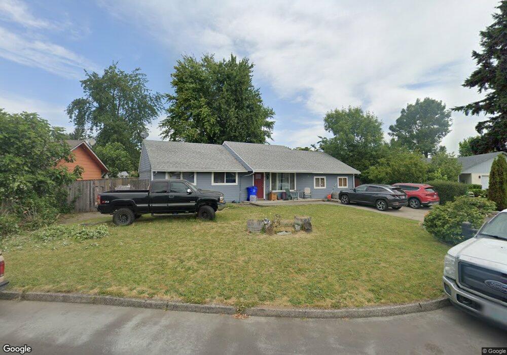
615 NE 20th Dr Gresham, OR 97030
North Central NeighborhoodEstimated Value: $420,378 - $470,000
About This Home
This home is located at 615 NE 20th Dr, Gresham, OR 97030 and is currently estimated at $446,095, approximately $285 per square foot. 615 NE 20th Dr is a home located in Multnomah County with nearby schools including Highland Elementary School, Clear Creek Middle School, and Gresham High School.
Ownership History
We collect this data history from publicly available records. To have your information removed, we recommend requesting removal directly through your county’s website.
Purchase Details
Home Values in the Area
Average Home Value in this Area
Purchase History
We collect this data history from publicly available records. To have your information removed, we recommend requesting removal directly through your county’s website.
| Date | Buyer | Sale Price | Title Company |
|---|---|---|---|
| $98,000 | Transnation Title Insurance |
Tax History
We collect this data history from publicly available records. To have your information removed, we recommend requesting removal directly through your county’s website.
| Year | Tax Paid | Tax Assessment Tax Assessment Total Assessment is a certain percentage of the fair market value that is determined by local assessors to be the total taxable value of land and additions on the property. | Land | Improvement |
|---|---|---|---|---|
| 2025 | $4,148 | $203,840 | -- | -- |
| 2024 | $3,971 | $197,910 | -- | -- |
| 2023 | $3,618 | $192,150 | $0 | $0 |
| 2022 | $3,517 | $186,560 | $0 | $0 |
| 2021 | $3,428 | $181,130 | $0 | $0 |
| 2020 | $3,226 | $175,860 | $0 | $0 |
| 2019 | $3,141 | $170,740 | $0 | $0 |
| 2018 | $2,995 | $165,770 | $0 | $0 |
| 2017 | $2,874 | $160,950 | $0 | $0 |
| 2016 | $2,534 | $156,270 | $0 | $0 |
| 2015 | $2,479 | $151,720 | $0 | $0 |
| 2014 | $2,419 | $147,310 | $0 | $0 |
Map
- 600 NE 22nd St
- 450 NE 22nd St
- 535 NE 24th St
- 1546 NE Cleveland Ave Unit 1568
- 60 NE 23rd St
- 1522 NE 21st St
- 1926 NE Vista Ave
- 2675 NE Cleveland Ave
- 1185 NE 27th St
- 1035 SE 225th Ave
- 1137 SE 224th Ave
- 105 NW 13th St
- 1830 NE Hogan Dr Unit 83
- 1802 NE Hogan Dr Unit 97
- 1702 NE Hogan Dr
- 1556 NE 27th Terrace
- 1304 NW Victoria Ave
- 1514 NE Hogan Dr Unit 131
- 1935 NE 19th St Unit 56
- 1322 NE Hogan Dr Unit 159
- 610 NE 20th Dr
- 600 NE 20th Dr Unit 1
- 600 NE 20th Dr
- 630 NE 20th Dr
- 605 NE 19th St
- 585 NE 19th St
- 580 NE 20th Dr
- 715 NE 20th Dr
- 605 NE 20th Dr
- 725 NE 20th Dr
- 705 NE 19th St
- 655 NE 20th Dr
- 525 NE 19th St
- 585 NE 20th Dr
- 705 NE 20th Dr
- 550 NE 20th Dr
- 620 NE 19th St
- 600 NE 19th St
- 620 NE 19th St Reduced
- 700 NE 22nd St
Ask me questions while you tour the home.