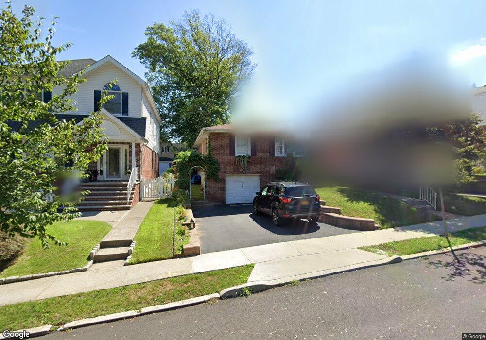
615 Oakland Ave Staten Island, NY 10310
West Brighton NeighborhoodEstimated Value: $611,284 - $800,000
--
Bed
4
Baths
864
Sq Ft
$841/Sq Ft
Est. Value
About This Home
This home is located at 615 Oakland Ave, Staten Island, NY 10310 and is currently estimated at $726,321, approximately $840 per square foot. 615 Oakland Ave is a home located in Richmond County with nearby schools including P.S. 45 John Tyler, Is 61 William A Morris, and Curtis High School.
Ownership History
Date
Name
Owned For
Owner Type
Purchase Details
Closed on
May 8, 2017
Sold by
Johnson Eric R and Stella Deneen
Bought by
Johnson Eric R and Johnson Deneen Stella
Current Estimated Value
Home Financials for this Owner
Home Financials are based on the most recent Mortgage that was taken out on this home.
Original Mortgage
$157,046
Interest Rate
3.97%
Mortgage Type
Construction
Create a Home Valuation Report for This Property
The Home Valuation Report is an in-depth analysis detailing your home's value as well as a comparison with similar homes in the area
Home Values in the Area
Average Home Value in this Area
Purchase History
| Date | Buyer | Sale Price | Title Company |
|---|---|---|---|
| Johnson Eric R | -- | Title Vest |
Source: Public Records
Mortgage History
| Date | Status | Borrower | Loan Amount |
|---|---|---|---|
| Closed | Johnson Eric R | $157,046 |
Source: Public Records
Tax History Compared to Growth
Tax History
| Year | Tax Paid | Tax Assessment Tax Assessment Total Assessment is a certain percentage of the fair market value that is determined by local assessors to be the total taxable value of land and additions on the property. | Land | Improvement |
|---|---|---|---|---|
| 2025 | $6,487 | $40,260 | $12,243 | $28,017 |
| 2024 | $6,499 | $37,620 | $12,361 | $25,259 |
| 2023 | $6,559 | $33,696 | $10,544 | $23,152 |
| 2022 | $6,389 | $38,400 | $13,800 | $24,600 |
| 2021 | $6,337 | $40,140 | $13,800 | $26,340 |
| 2020 | $6,004 | $43,980 | $13,800 | $30,180 |
| 2019 | $5,581 | $41,220 | $13,800 | $27,420 |
| 2018 | $5,426 | $28,080 | $12,789 | $15,291 |
| 2017 | $5,381 | $27,869 | $12,470 | $15,399 |
| 2016 | $4,946 | $26,292 | $13,349 | $12,943 |
| 2015 | $4,186 | $24,804 | $13,568 | $11,236 |
| 2014 | $4,186 | $23,400 | $15,360 | $8,040 |
Source: Public Records
Map
Nearby Homes
- 152 Harvest Ave
- 100 Lawrence Ave
- 677 Bement Ave
- 34 Harvest Ave
- 710 Oakland Ave
- 1 Whitewood Ave
- 751 Oakland Ave
- 605 Bard Ave
- 20 Baker Place
- 54 City Blvd
- 1 Sunset Hill Dr
- 706 Broadway
- 64 Greenway Dr
- 372 Sharon Ave
- 40 Greenway Dr
- 967 Bard Ave
- 432 Pelton Ave
- 244 Delafield Ave
- 966 Clove Rd Unit A
- 26 Fairway Ln
- 611 Oakland Ave
- 619 Oakland Ave
- 607 Oakland Ave
- 623 Oakland Ave
- 646 Pelton Ave
- 642 Pelton Ave
- 650 Pelton Ave
- 603 Oakland Ave
- 638 Pelton Ave
- 629 Oakland Ave
- 654 Pelton Ave
- 634 Pelton Ave
- 618 Oakland Ave
- 610 Oakland Ave
- 599 Oakland Ave
- 622 Oakland Ave
- 658 Pelton Ave
- 633 Oakland Ave
- 626 Oakland Ave
- 630 Pelton Ave