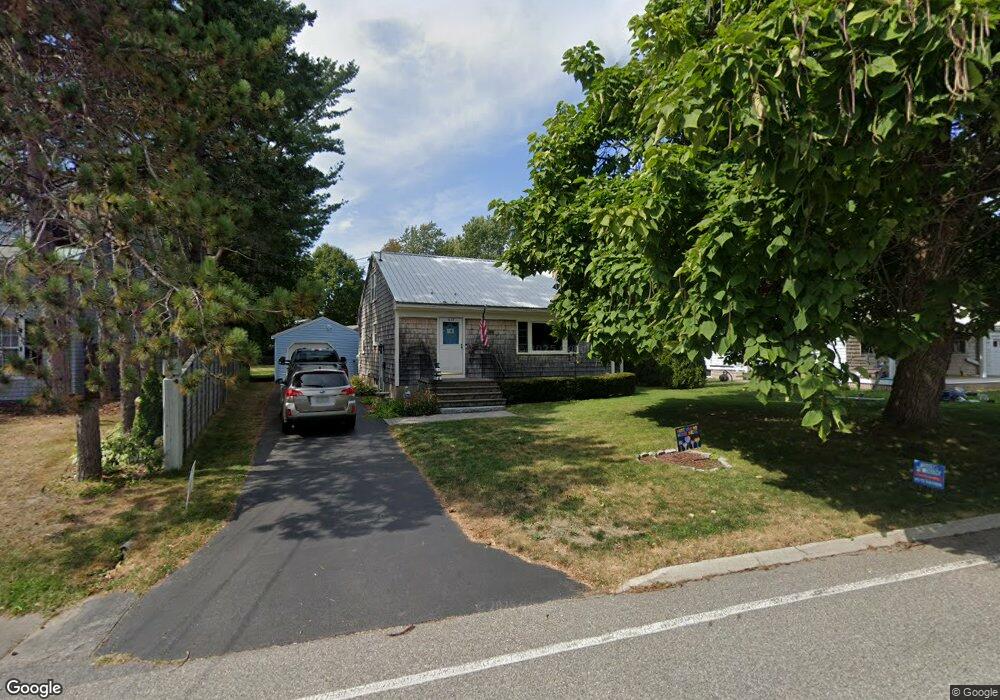
615 Sawyer St South Portland, ME 04106
Meetinghouse Hill NeighborhoodEstimated Value: $573,999 - $624,000
2
Beds
1
Bath
1,260
Sq Ft
$469/Sq Ft
Est. Value
About This Home
This home is located at 615 Sawyer St, South Portland, ME 04106 and is currently estimated at $590,750, approximately $468 per square foot. 615 Sawyer St is a home located in Cumberland County with nearby schools including Frank I. Brown Elementary School, Daniel F. Mahoney Middle School, and South Portland High School.
Ownership History
Date
Name
Owned For
Owner Type
Purchase Details
Closed on
Apr 19, 2005
Sold by
Lesniak Chet F and Turner Thomas
Bought by
Soule Erin K and Soule Christopher T
Current Estimated Value
Home Financials for this Owner
Home Financials are based on the most recent Mortgage that was taken out on this home.
Original Mortgage
$195,000
Outstanding Balance
$100,628
Interest Rate
5.78%
Mortgage Type
Purchase Money Mortgage
Estimated Equity
$490,122
Create a Home Valuation Report for This Property
The Home Valuation Report is an in-depth analysis detailing your home's value as well as a comparison with similar homes in the area
Home Values in the Area
Average Home Value in this Area
Purchase History
| Date | Buyer | Sale Price | Title Company |
|---|---|---|---|
| Soule Erin K | -- | -- |
Source: Public Records
Mortgage History
| Date | Status | Borrower | Loan Amount |
|---|---|---|---|
| Open | Soule Erin K | $195,000 |
Source: Public Records
Tax History Compared to Growth
Tax History
| Year | Tax Paid | Tax Assessment Tax Assessment Total Assessment is a certain percentage of the fair market value that is determined by local assessors to be the total taxable value of land and additions on the property. | Land | Improvement |
|---|---|---|---|---|
| 2024 | $6,088 | $461,200 | $238,800 | $222,400 |
| 2023 | $4,919 | $347,900 | $156,900 | $191,000 |
| 2022 | $4,662 | $299,600 | $125,600 | $174,000 |
| 2021 | $4,404 | $299,600 | $125,600 | $174,000 |
| 2020 | $4,165 | $210,900 | $100,000 | $110,900 |
| 2019 | $4,028 | $210,900 | $100,000 | $110,900 |
| 2018 | $3,902 | $210,900 | $100,000 | $110,900 |
| 2017 | $3,796 | $210,900 | $100,000 | $110,900 |
| 2016 | $3,498 | $197,600 | $86,700 | $110,900 |
| 2015 | $3,438 | $197,600 | $86,700 | $110,900 |
| 2014 | $3,208 | $197,600 | $86,700 | $110,900 |
| 2013 | -- | $197,600 | $86,700 | $110,900 |
Source: Public Records
Map
Nearby Homes
- 134 S Richland St
- 43 O'Neil St
- 77 O'Neil St
- 57 O'Neil St
- 26 Spurwink Ave
- 341 Pine St Unit 301
- 22 Taylor St
- 338 Ocean St
- 310 Pine St
- 70 Vincent St
- 294 Pine St
- 10 Cheverus Rd
- 7 Mountain View Rd
- 115 Summit Terrace Unit 6
- 115 Summit Terrace Unit 5
- 115 Summit Terrace Unit 4
- 5 Virginia Ave
- 152 Anthoine St
- 37 Second St
- 32 Ship Channel Rd
- 611 Sawyer St
- 614 Sawyer St
- 612 Sawyer St
- 621 Sawyer St
- 607 Sawyer St
- 602 Sawyer St
- 622 Sawyer St
- 598 Sawyer St
- 130 Hillside Ave
- 126 Hillside Ave
- 630 Sawyer St
- 594 Sawyer St
- 125 Hillside Ave
- 597 Sawyer St
- 138 Hillside Ave
- 636 Sawyer St
- 590 Sawyer St
- 232 Walnut St
- 15 Sawyer Brook Cir
- 114 Hillside Ave