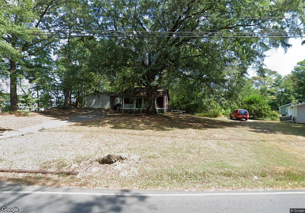
615 Sheridan Ave Dalton, GA 30721
Estimated Value: $156,785 - $234,000
2
Beds
1
Bath
1,398
Sq Ft
$142/Sq Ft
Est. Value
About This Home
This home is located at 615 Sheridan Ave, Dalton, GA 30721 and is currently estimated at $198,446, approximately $141 per square foot. 615 Sheridan Ave is a home located in Whitfield County with nearby schools including Eastside Elementary School, Eastbrook Middle School, and Southeast Whitfield County High School.
Ownership History
Date
Name
Owned For
Owner Type
Purchase Details
Closed on
Jun 17, 2004
Sold by
Citi Financial Mortgage Compan
Bought by
Davis John E
Current Estimated Value
Purchase Details
Closed on
Mar 2, 2004
Sold by
Neighbors David
Bought by
Citi Financial Mortgage Company Inc
Purchase Details
Closed on
Jul 19, 2002
Sold by
Neighbors David and Neighbors Robin
Bought by
Neighbors David
Purchase Details
Closed on
Feb 4, 2000
Sold by
Neighbord David
Bought by
Neighbors David and Neighbors Robin
Create a Home Valuation Report for This Property
The Home Valuation Report is an in-depth analysis detailing your home's value as well as a comparison with similar homes in the area
Home Values in the Area
Average Home Value in this Area
Purchase History
| Date | Buyer | Sale Price | Title Company |
|---|---|---|---|
| Davis John E | $56,000 | -- | |
| Citi Financial Mortgage Company Inc | $61,500 | -- | |
| Neighbors David | -- | -- | |
| Neighbors David | -- | -- |
Source: Public Records
Tax History Compared to Growth
Tax History
| Year | Tax Paid | Tax Assessment Tax Assessment Total Assessment is a certain percentage of the fair market value that is determined by local assessors to be the total taxable value of land and additions on the property. | Land | Improvement |
|---|---|---|---|---|
| 2024 | $831 | $43,814 | $7,000 | $36,814 |
| 2023 | $831 | $27,050 | $3,150 | $23,900 |
| 2022 | $753 | $25,514 | $3,150 | $22,364 |
| 2021 | $753 | $25,514 | $3,150 | $22,364 |
| 2020 | $778 | $25,514 | $3,150 | $22,364 |
| 2019 | $791 | $25,514 | $3,150 | $22,364 |
| 2018 | $804 | $25,514 | $3,150 | $22,364 |
| 2017 | $804 | $25,514 | $3,150 | $22,364 |
| 2016 | $717 | $23,652 | $3,150 | $20,502 |
| 2014 | $637 | $23,652 | $3,150 | $20,502 |
| 2013 | -- | $23,651 | $3,150 | $20,501 |
Source: Public Records
Map
Nearby Homes
- 1007 Locke Dr
- 514 Sheridan Ave
- trac 2 Roosevelt Dr
- trac 3 Roosevelt Dr
- 1302 Jackson Rd
- Lot 5 River Bend Rd
- Lot 4 Riverbend Rd
- Lot 7 Riverbend Rd
- 1412 Stevenson Dr
- 1629 Roosevelt Dr
- 902 Mattie Dr
- 1320 Coker Dr
- 1902 Bartenfield Dr
- 0 Robinwood Dr
- 1118 Dozier St
- Lot 4 Liberty Dr
- Lot 10 Liberty Dr
- Lot 9 Liberty Dr
- 303 Janice St
- 432 4th Ave
- 625 Sheridan Ave
- 627 Sheridan Ave
- 611 Sheridan Ave
- 612 Sheridan Ave
- 624 Sheridan Ave
- 629 Sheridan Ave
- 613 Sheridan Ave
- 709 Sheridan Ave
- 00 Sheridan Ave
- 706 Sheridan Ave
- 702 Sheridan Ave
- 1001 Locke St
- 724 Sheridan Ave
- 1003 Locke Dr
- 1003 Locke St
- 732 Sheridan Ave
- 735 Sheridan Ave
- 737 Sheridan Ave
- 1005 Locke St
- 1551 E Walnut Ave Unit 34 & 35