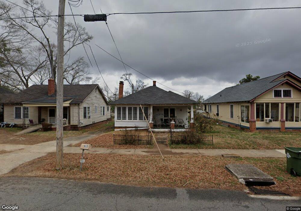
615 W Broad St Griffin, GA 30223
Spalding County NeighborhoodEstimated Value: $58,000 - $127,000
2
Beds
1
Bath
963
Sq Ft
$96/Sq Ft
Est. Value
About This Home
This home is located at 615 W Broad St, Griffin, GA 30223 and is currently estimated at $92,540, approximately $96 per square foot. 615 W Broad St is a home located in Spalding County with nearby schools including Anne Street Elementary School, Rehoboth Road Middle School, and Griffin High School.
Ownership History
Date
Name
Owned For
Owner Type
Purchase Details
Closed on
Jul 24, 2017
Sold by
Callahan Brinson
Bought by
Wheat Laura and Martin Karen L
Current Estimated Value
Purchase Details
Closed on
Oct 19, 1989
Sold by
Patterson Lillian P
Bought by
Callahan Brinson
Purchase Details
Closed on
Jan 24, 1989
Sold by
Henley Mrs Cecil Carmichael
Bought by
Patterson Lillian
Purchase Details
Closed on
Nov 20, 1944
Bought by
Henley Cecil C
Create a Home Valuation Report for This Property
The Home Valuation Report is an in-depth analysis detailing your home's value as well as a comparison with similar homes in the area
Home Values in the Area
Average Home Value in this Area
Purchase History
| Date | Buyer | Sale Price | Title Company |
|---|---|---|---|
| Wheat Laura | $25,000 | -- | |
| Callahan Brinson | $23,000 | -- | |
| Patterson Lillian | -- | -- | |
| Henley Cecil C | -- | -- |
Source: Public Records
Tax History Compared to Growth
Tax History
| Year | Tax Paid | Tax Assessment Tax Assessment Total Assessment is a certain percentage of the fair market value that is determined by local assessors to be the total taxable value of land and additions on the property. | Land | Improvement |
|---|---|---|---|---|
| 2024 | $623 | $16,313 | $2,720 | $13,593 |
| 2023 | $623 | $14,624 | $2,720 | $11,904 |
| 2022 | $501 | $12,547 | $1,920 | $10,627 |
| 2021 | $468 | $11,716 | $1,920 | $9,796 |
| 2020 | $468 | $11,716 | $1,920 | $9,796 |
| 2019 | $450 | $11,064 | $1,920 | $9,144 |
| 2018 | $178 | $11,381 | $1,920 | $9,461 |
| 2017 | $470 | $11,381 | $1,920 | $9,461 |
| 2016 | $478 | $11,381 | $1,920 | $9,461 |
| 2015 | $486 | $11,381 | $1,920 | $9,461 |
| 2014 | $501 | $11,381 | $1,920 | $9,461 |
Source: Public Records
Map
Nearby Homes
- 733 W Broad St
- 711 W Broad St
- 108 N 14th St
- 737 W Solomon St
- 221 N 14th St
- 332 N 14th St
- 822 W Solomon St
- 321 N 10th St
- 333 N 10th St
- 411 Palace St
- 629 Williams St
- 318 N 15th St
- 525 W Quilly St
- 200 AC W Ellis Rd
- 312.37 AC W Ellis Rd
- 930 W Broad St
- 325 W Quilly St
- 707 Williams St
- 713 Williams St
- 1017 W Broad St
- 613 W Broad St
- 617 W Broad St
- 616 W Broad St
- 601 W Broad St
- 206 N 13th St
- 214 N 13th St
- 608 W Broad St
- 626 W Broad St
- 123 N 12th St
- 617 W Slaton Ave
- 613 W Slaton Ave
- 640 W Broad St
- 222 N 13th St
- 621 W Slaton Ave
- 228 N 13th St
- 116 N 13th St
- 211 N 13th St
- 0 W Broad St Unit 7130842
- W W Broad St Unit &136
- 0 W Broad St