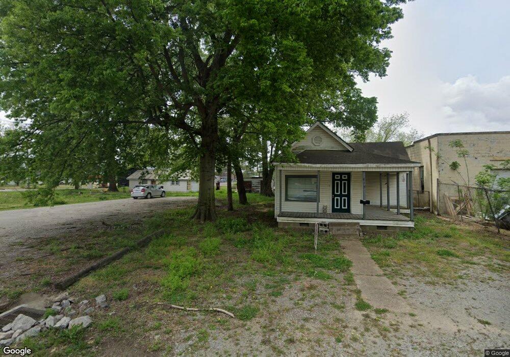
615 W Walnut St Walnut Ridge, AR 72476
Estimated Value: $63,000 - $89,000
2
Beds
1
Bath
1,088
Sq Ft
$71/Sq Ft
Est. Value
About This Home
This home is located at 615 W Walnut St, Walnut Ridge, AR 72476 and is currently estimated at $76,942, approximately $70 per square foot. 615 W Walnut St is a home located in Lawrence County with nearby schools including Walnut Ridge Elementary School and Walnut Ridge High School.
Ownership History
Date
Name
Owned For
Owner Type
Purchase Details
Closed on
Jun 18, 2025
Sold by
Forkum Jason
Bought by
Hoskins John D and Hoskins Taylor L
Current Estimated Value
Purchase Details
Closed on
Dec 27, 2002
Bought by
Forkum Jason Ray
Purchase Details
Closed on
Dec 11, 2002
Bought by
Simmons Byron and Simmons Tammi
Purchase Details
Closed on
Jul 26, 1996
Bought by
Simmons Byron K and Simmons Tammi
Purchase Details
Closed on
Jul 16, 1993
Bought by
Summer Harold D
Create a Home Valuation Report for This Property
The Home Valuation Report is an in-depth analysis detailing your home's value as well as a comparison with similar homes in the area
Home Values in the Area
Average Home Value in this Area
Purchase History
| Date | Buyer | Sale Price | Title Company |
|---|---|---|---|
| Hoskins John D | $22,000 | None Listed On Document | |
| Hoskins John D | $22,000 | None Listed On Document | |
| Forkum Jason Ray | $9,000 | -- | |
| Simmons Byron | -- | -- | |
| Simmons Byron K | $6,000 | -- | |
| Summer Harold D | -- | -- |
Source: Public Records
Tax History Compared to Growth
Tax History
| Year | Tax Paid | Tax Assessment Tax Assessment Total Assessment is a certain percentage of the fair market value that is determined by local assessors to be the total taxable value of land and additions on the property. | Land | Improvement |
|---|---|---|---|---|
| 2024 | $289 | $7,828 | $600 | $7,228 |
| 2023 | $265 | $7,828 | $600 | $7,228 |
| 2022 | $241 | $5,290 | $600 | $4,690 |
| 2021 | $231 | $5,290 | $600 | $4,690 |
| 2020 | $215 | $5,290 | $600 | $4,690 |
| 2019 | $198 | $5,290 | $600 | $4,690 |
| 2018 | $182 | $5,290 | $600 | $4,690 |
| 2017 | $153 | $3,620 | $600 | $3,020 |
| 2016 | $153 | $3,620 | $600 | $3,020 |
| 2015 | $153 | $3,620 | $600 | $3,020 |
| 2014 | -- | $3,620 | $600 | $3,020 |
Source: Public Records
Map
Nearby Homes
- 620 W Main St
- 601 Stewart St
- 317 W Vine St
- 202 W Hazel St
- 420 NW 3rd St
- 305 SW 3rd St
- 305 NW 3rd St
- 1 Acre Hwy 67b
- 1 Acre Hwy 67 B
- 208 NE Front St
- 1309 Holly St
- 823 NW 5th St
- 200 NE 2nd St
- 815 NW 3rd St
- 316 SE 2nd St
- 21 Acres W Oak St
- 1402 Azalea Ave
- 1409 Magnolia Ave
- 511 Pocahontas Rd
- 107 NW Inman Dr
- 621 W Walnut St
- 623 W Walnut St
- 121 NW 6th St
- 614 W Walnut St
- 459.28 acres Cr 620
- 618 W Walnut St
- 622 W Walnut St
- 602 W Main St
- 206 NW 6th St
- 203 NW 7th St
- 615 W Main St
- 615 W Main St
- 700 W Walnut St
- 521 W Walnut St
- 617 W Main St
- 617 W Main St Unit 615 & 617 W. Main St
- 609 W Main St
- 524 W Main St
- 520 W Main St
- 501 W Main St