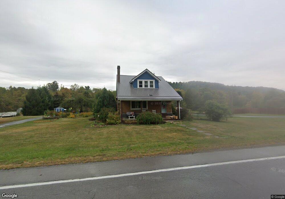
6150 Route 219 Brockport, PA 15823
Estimated Value: $166,000 - $231,000
4
Beds
1
Bath
--
Sq Ft
2.9
Acres
About This Home
This home is located at 6150 Route 219, Brockport, PA 15823 and is currently estimated at $204,997. 6150 Route 219 is a home located in Elk County with nearby schools including Brockway Area Elementary School and Brockway Area Junior/Senior High School.
Ownership History
Date
Name
Owned For
Owner Type
Purchase Details
Closed on
May 26, 2010
Sold by
Luchini Shelly M and Estate Of Jean D Cretti
Bought by
Carlson James S and Veltri Brittany L
Current Estimated Value
Home Financials for this Owner
Home Financials are based on the most recent Mortgage that was taken out on this home.
Original Mortgage
$69,900
Outstanding Balance
$47,168
Interest Rate
5.11%
Mortgage Type
Future Advance Clause Open End Mortgage
Estimated Equity
$157,829
Create a Home Valuation Report for This Property
The Home Valuation Report is an in-depth analysis detailing your home's value as well as a comparison with similar homes in the area
Home Values in the Area
Average Home Value in this Area
Purchase History
| Date | Buyer | Sale Price | Title Company |
|---|---|---|---|
| Carlson James S | $89,900 | None Available |
Source: Public Records
Mortgage History
| Date | Status | Borrower | Loan Amount |
|---|---|---|---|
| Open | Carlson James S | $69,900 |
Source: Public Records
Tax History Compared to Growth
Tax History
| Year | Tax Paid | Tax Assessment Tax Assessment Total Assessment is a certain percentage of the fair market value that is determined by local assessors to be the total taxable value of land and additions on the property. | Land | Improvement |
|---|---|---|---|---|
| 2025 | $1,964 | $38,300 | $4,650 | $33,650 |
| 2024 | $1,964 | $38,300 | $4,650 | $33,650 |
| 2023 | $1,933 | $38,300 | $4,650 | $33,650 |
| 2022 | $1,884 | $38,300 | $4,650 | $33,650 |
| 2021 | $1,851 | $38,300 | $4,650 | $33,650 |
| 2020 | $1,851 | $38,300 | $4,650 | $33,650 |
| 2019 | $1,784 | $38,300 | $4,650 | $33,650 |
| 2018 | $1,735 | $38,300 | $4,650 | $33,650 |
| 2017 | $1,683 | $38,300 | $4,650 | $33,650 |
| 2016 | $1,469 | $38,300 | $4,650 | $33,650 |
| 2015 | -- | $38,300 | $4,650 | $33,650 |
| 2013 | -- | $38,300 | $4,650 | $33,650 |
Source: Public Records
Map
Nearby Homes
- 101 Howard Rd
- 425 Zuccolotto Ln
- 3585 Shawmut Rd
- 3323 Mount Daniels Rd
- 1083 Rattlesnake Rd
- 970 Baghdad Rd
- 924 Elm St
- 1549 Main St
- 0 U S 219
- 1074 10th Ave
- 7956 U S 219
- 0 Boone Mountain - Heigel Road Rd Unit 4 25-179
- 0 Boone Mountain - Heigel Road Rd Unit 1-2-5-6
- 601 Sandbank Rd
- 598 Sandbank Rd
- 0 Cap Haitien Rd Unit SEC 17 LOT 14
- 537 Lynyard Ln Bonefish Rd
- Section 19 Lot 181 Dolphin Head Rd
- 181 Dolphin Head Rd
- 129 Dolphin Head Rd
- 6118 Route 219
- 6104 Route 219
- 6198 Route 219
- 6220 Route 219
- 6068 Route 219
- 6248 U S 219
- 6248 Route 219
- 6274 Route 219
- 6025 Route 219
- 6336 Route 219
- 6358 Route 219
- 6384 Route 219
- 6407 Route 219
- 23 Marchiori Rd
- 111 Marchiori Rd
- 74 Marchiori Rd
- 140 Marchiori Rd
- 96 Apollo Dr
- 184 Marchiori Rd
- 23 Apollo Dr