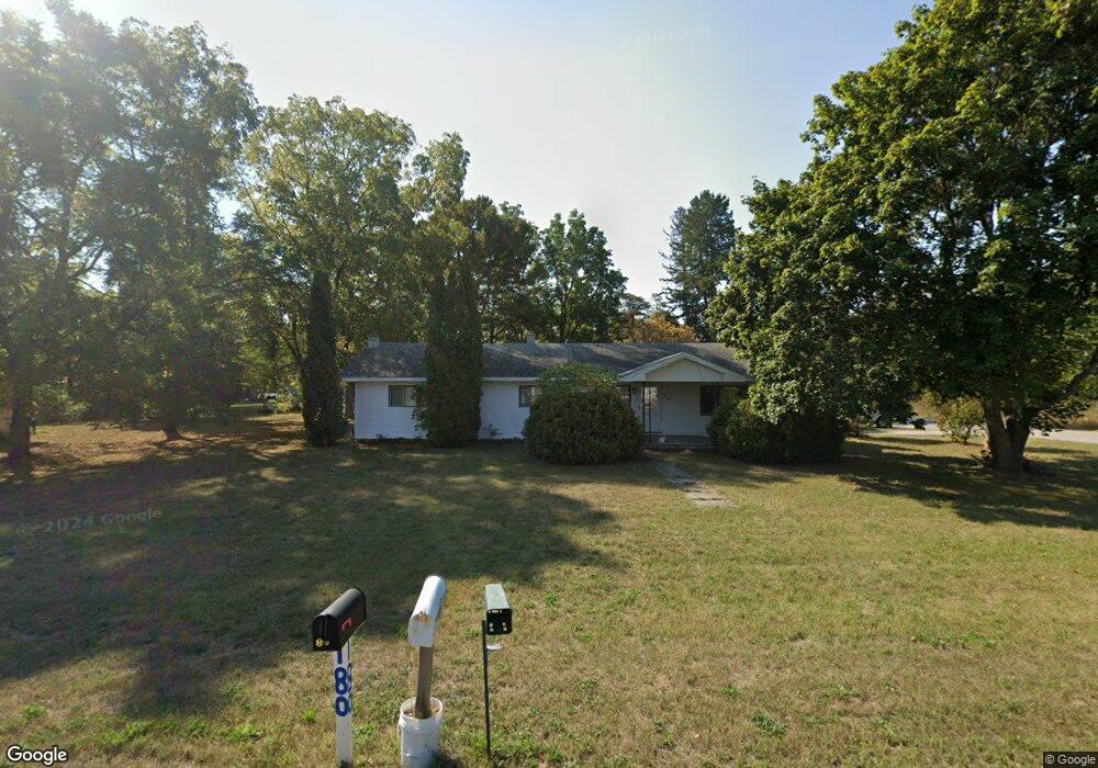
6150 W Edgar St Pellston, MI 49769
Estimated Value: $174,000 - $203,000
3
Beds
1
Bath
1,344
Sq Ft
$142/Sq Ft
Est. Value
About This Home
This home is located at 6150 W Edgar St, Pellston, MI 49769 and is currently estimated at $190,904, approximately $142 per square foot. 6150 W Edgar St is a home located in Emmet County with nearby schools including Pellston Elementary School and Pellston Middle/High School.
Ownership History
Date
Name
Owned For
Owner Type
Purchase Details
Closed on
Jul 12, 2022
Sold by
Smith Jonathan C and Debeck Patrick
Bought by
Smith Jonathan C and Smith Y
Current Estimated Value
Purchase Details
Closed on
Jun 11, 2018
Sold by
Smith Jonathan C
Bought by
Smith Jonathan C and Debeck Patirck
Purchase Details
Closed on
Oct 25, 2004
Bought by
Smith Johnathan C
Purchase Details
Closed on
Dec 13, 2003
Bought by
Standard Federal Bank
Purchase Details
Closed on
Jul 1, 2003
Sold by
Standard Fed Bank
Bought by
Department Of Veterans Affairs
Purchase Details
Closed on
Nov 16, 1998
Sold by
Mccreery Wilma
Bought by
Gilbert Lawrence D and Gilbert Trudy K
Purchase Details
Closed on
Oct 22, 1997
Sold by
Stranahan Sylvia A
Bought by
Mccreery Carl R and Mccreery Wilma
Create a Home Valuation Report for This Property
The Home Valuation Report is an in-depth analysis detailing your home's value as well as a comparison with similar homes in the area
Home Values in the Area
Average Home Value in this Area
Purchase History
| Date | Buyer | Sale Price | Title Company |
|---|---|---|---|
| Smith Jonathan C | -- | -- | |
| Smith Jonathan C | -- | -- | |
| Smith Johnathan C | $86,900 | -- | |
| Standard Federal Bank | $70,500 | -- | |
| Department Of Veterans Affairs | -- | -- | |
| Gilbert Lawrence D | $76,200 | -- | |
| Mccreery Carl R | -- | -- |
Source: Public Records
Tax History Compared to Growth
Tax History
| Year | Tax Paid | Tax Assessment Tax Assessment Total Assessment is a certain percentage of the fair market value that is determined by local assessors to be the total taxable value of land and additions on the property. | Land | Improvement |
|---|---|---|---|---|
| 2025 | $2,422 | $73,800 | $73,800 | $0 |
| 2024 | $2,422 | $69,600 | $69,600 | $0 |
| 2023 | $2,235 | $64,300 | $64,300 | $0 |
| 2022 | $2,235 | $58,500 | $58,500 | $0 |
| 2021 | $2,264 | $56,200 | $56,200 | $0 |
| 2020 | $2,259 | $54,100 | $54,100 | $0 |
| 2019 | -- | $47,600 | $47,600 | $0 |
| 2018 | -- | $45,100 | $45,100 | $0 |
| 2017 | -- | $45,100 | $45,100 | $0 |
| 2016 | -- | $42,400 | $42,400 | $0 |
| 2015 | -- | $42,400 | $0 | $0 |
| 2014 | -- | $38,400 | $0 | $0 |
Source: Public Records
Map
Nearby Homes
- 000 Vacant U S 31
- 6457 State St
- 6421 Airport Crossing Rd Unit 1
- 6672 Industrial Dr
- 0 Reed Rd Unit 474270
- TBD Teal Rd
- 9160 Silver Strand Rd
- 4333 U S 31
- 9470 Silver Strand Rd
- 9670 Silver Strand Rd
- 9485 Ingleside Rd
- 3016 W Burt Lake Rd
- 10999 Koepke Rd
- 10222 W Munro Lake Dr
- 5383 N Conway Rd
- 1975 &1995 Club House Dr
- 1975 + 1995 Club House Dr
- 5100 N Bay Way
- 6430 Admirals Point Dr
- 6167 Lambert Dr
- 6174 W Edgar St
- 127 Jackson St
- 6149 W Main St
- 6161 W Main St
- 6200 W Edgar St
- 6179 W Main St
- 180 Jackson St
- 6161 W Edgar St
- 6123 W Main St
- 6106 W Edgar St
- 6173 W Edgar St
- 6197 W Main St
- 6189 W Edgar St
- 6094 W Edgar St
- 6105 W Main St
- 6211 W Main St
- 6217 W Edgar St
- 6105 W Edgar St
- 6082 W Edgar St
- 6232 Edgar Blvd