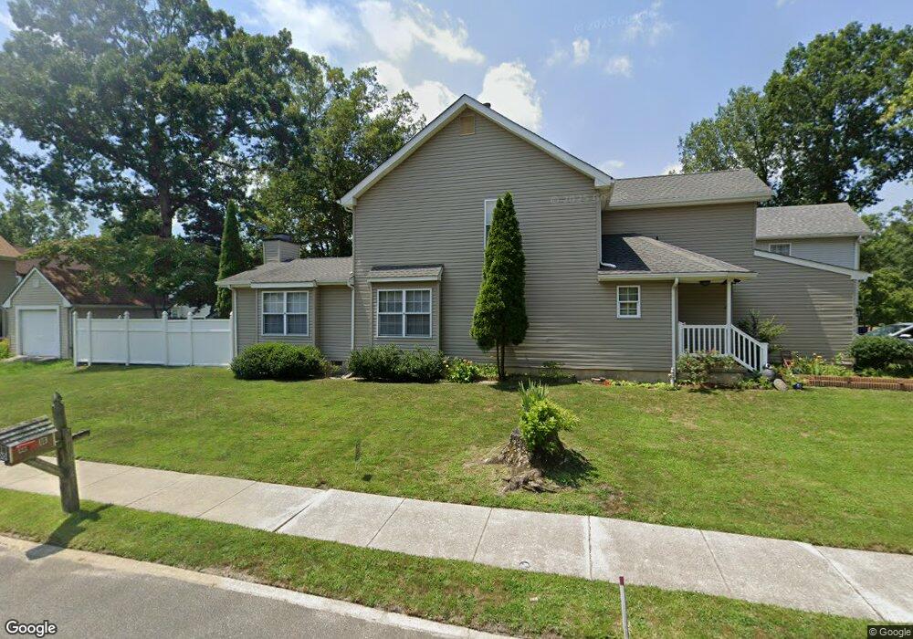
6150 White Oak Way Mays Landing, NJ 08330
Estimated Value: $322,612 - $393,000
--
Bed
--
Bath
1,969
Sq Ft
$185/Sq Ft
Est. Value
About This Home
This home is located at 6150 White Oak Way, Mays Landing, NJ 08330 and is currently estimated at $363,403, approximately $184 per square foot. 6150 White Oak Way is a home located in Atlantic County with nearby schools including Joseph Shaner School, George L. Hess Educational Complex, and William Davies Middle School.
Ownership History
Date
Name
Owned For
Owner Type
Purchase Details
Closed on
Aug 31, 1998
Sold by
Broome Clarence F and Broome Wanda I
Bought by
Mababa Jose A and Mababa Felicitas P
Current Estimated Value
Home Financials for this Owner
Home Financials are based on the most recent Mortgage that was taken out on this home.
Original Mortgage
$122,751
Outstanding Balance
$26,267
Interest Rate
6.92%
Estimated Equity
$337,136
Purchase Details
Closed on
Oct 31, 1991
Sold by
Dayco Investment Corp
Bought by
Broome Clarence F and Broome Wanda I
Create a Home Valuation Report for This Property
The Home Valuation Report is an in-depth analysis detailing your home's value as well as a comparison with similar homes in the area
Home Values in the Area
Average Home Value in this Area
Purchase History
| Date | Buyer | Sale Price | Title Company |
|---|---|---|---|
| Mababa Jose A | $123,000 | -- | |
| Broome Clarence F | $114,000 | -- |
Source: Public Records
Mortgage History
| Date | Status | Borrower | Loan Amount |
|---|---|---|---|
| Open | Mababa Jose A | $122,751 |
Source: Public Records
Tax History Compared to Growth
Tax History
| Year | Tax Paid | Tax Assessment Tax Assessment Total Assessment is a certain percentage of the fair market value that is determined by local assessors to be the total taxable value of land and additions on the property. | Land | Improvement |
|---|---|---|---|---|
| 2025 | $6,121 | $178,400 | $26,200 | $152,200 |
| 2024 | $6,121 | $178,400 | $26,200 | $152,200 |
| 2023 | $5,755 | $178,400 | $26,200 | $152,200 |
| 2022 | $5,755 | $178,400 | $26,200 | $152,200 |
| 2021 | $5,743 | $178,400 | $26,200 | $152,200 |
| 2020 | $5,743 | $178,400 | $26,200 | $152,200 |
| 2019 | $5,757 | $178,400 | $26,200 | $152,200 |
| 2018 | $5,555 | $178,400 | $26,200 | $152,200 |
| 2017 | $5,468 | $178,400 | $26,200 | $152,200 |
| 2016 | $5,615 | $188,500 | $34,200 | $154,300 |
| 2015 | $5,425 | $188,500 | $34,200 | $154,300 |
| 2014 | $5,385 | $205,000 | $38,200 | $166,800 |
Source: Public Records
Map
Nearby Homes
- 6140 Robin Dr
- 0 Harding Hwy Unit 597638
- 0 Harding Hwy Unit NJAC2019438
- 6251 Old Harding Hwy
- 6206 Roberts Ave
- 6302 Palmer Ave
- 6126 Longwood Ave
- 6314 Lance Ave
- 87 Devon Rd
- 6301 Knight Ave
- 6310 Phillips Ave
- 80 Mill St
- 37 Delancy Ct
- 1305 Matthews Ave
- 15 Lowell St
- 1 Lafayette Ave
- 1404 Loretta Ave
- 1403 Loretta Ave
- Rt 50 and Old Mays Landing Rd
- 16 Holly Ct
- 6152 White Oak Way
- 6154 White Oak Way
- 6149 Robin Dr
- 6155 White Oak Way
- 6151 Robin Dr
- 6153 White Oak Way
- 6156 White Oak Way
- 6153 Robin Dr
- 6151 White Oak Way
- 6155 Robin Dr
- 6158 White Oak Way
- 6147 Robin Dr
- 6157 Robin Dr
- 6145 Robin Dr
- 6160 White Oak Way
- 6159 Robin Dr
- 6143 Robin Dr
- 6154 Robin Dr
- 6148 Robin Dr
- 6150 Robin Dr