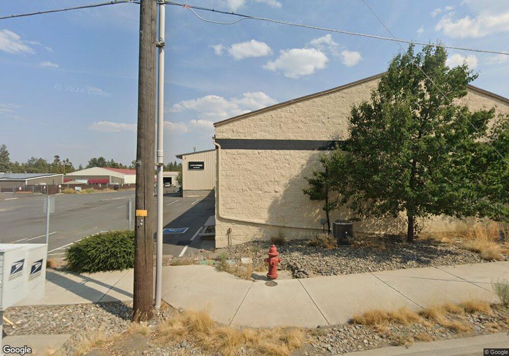
61510 American Ln Unit 130-1 Bend, OR 97702
Old Farm District NeighborhoodEstimated Value: $2,267,709
--
Bed
--
Bath
8,800
Sq Ft
$258/Sq Ft
Est. Value
About This Home
This home is located at 61510 American Ln Unit 130-1, Bend, OR 97702 and is currently estimated at $2,267,709, approximately $257 per square foot. 61510 American Ln Unit 130-1 is a home located in Deschutes County with nearby schools including Silver Rail Elementary School, High Desert Middle School, and Bend Senior High School.
Ownership History
Date
Name
Owned For
Owner Type
Purchase Details
Closed on
Apr 12, 2024
Sold by
Daryl And Yvonne Blanck Trust and Westermeyer Daniel M
Bought by
Enzo Holdings Llc and Bogart Properties Llc
Current Estimated Value
Home Financials for this Owner
Home Financials are based on the most recent Mortgage that was taken out on this home.
Original Mortgage
$1,725,000
Outstanding Balance
$1,535,888
Interest Rate
6.94%
Mortgage Type
New Conventional
Estimated Equity
$731,821
Purchase Details
Closed on
Apr 27, 2004
Sold by
Blanck Daryl L and Blanck Yvonne M
Bought by
Blanck Daryl L and Blanck Yvonne M
Create a Home Valuation Report for This Property
The Home Valuation Report is an in-depth analysis detailing your home's value as well as a comparison with similar homes in the area
Home Values in the Area
Average Home Value in this Area
Purchase History
| Date | Buyer | Sale Price | Title Company |
|---|---|---|---|
| Enzo Holdings Llc | $2,300,000 | Western Title | |
| Blanck Daryl L | -- | -- |
Source: Public Records
Mortgage History
| Date | Status | Borrower | Loan Amount |
|---|---|---|---|
| Open | Enzo Holdings Llc | $1,725,000 |
Source: Public Records
Tax History Compared to Growth
Tax History
| Year | Tax Paid | Tax Assessment Tax Assessment Total Assessment is a certain percentage of the fair market value that is determined by local assessors to be the total taxable value of land and additions on the property. | Land | Improvement |
|---|---|---|---|---|
| 2025 | $17,412 | $1,030,520 | -- | -- |
| 2024 | $16,752 | $1,000,510 | -- | -- |
| 2023 | $15,529 | $971,370 | $0 | $0 |
| 2022 | $14,488 | $915,620 | $0 | $0 |
| 2021 | $14,510 | $888,960 | $0 | $0 |
| 2020 | $13,766 | $888,960 | $0 | $0 |
| 2019 | $13,383 | $863,070 | $0 | $0 |
| 2018 | $13,005 | $837,940 | $0 | $0 |
| 2017 | $12,623 | $813,540 | $0 | $0 |
| 2016 | $12,038 | $789,850 | $0 | $0 |
| 2015 | $11,588 | $766,850 | $0 | $0 |
| 2014 | $10,901 | $734,820 | $0 | $0 |
Source: Public Records
Map
Nearby Homes
- 61675 SE Depot Loop
- 20749 Canterbury Ct
- 20559 SE Cameron Ave
- 20615 Kira Dr Unit 386
- 20606 SE Slate Ave
- 20603 Kira Dr Unit 383
- 20599 Kira Dr Unit 382
- 61450 Little John Ln
- 20552 SE Evian Ave
- 61610 SE Depot Loop
- 20657 Couples Ln
- 20572 Kira Dr Unit 369
- 20520 SE Evian Ave
- 61475 Kobe St Unit 342
- 61467 Kobe St Unit 344
- 20560 Kira Dr Unit 371
- 61542 Aaron Way
- 20720 Will Scarlet Ln
- 61376 Robin Hood Ln
- 1100 SW Mt Bachelor Dr Unit A203
- 61510 American Ln
- 20652 Carmen Loop
- 20664 Carmen Loop
- 61530 American Ln
- 61526 American Ln
- 20676 Carmen Loop
- 20655 Carmen Loop
- 61515 American Loop
- 61540 American Ln
- 20685 Carmen Loop Unit 5
- 20680 Carmen Loop
- 61523 American Loop
- 61280 Mcroberts Ln Unit 28
- 61285 Mcroberts Ln Unit 30
- 20705 Carmen Loop
- 61550 American Ln
- 61550 American Ln Unit 1
- 20700 Carmen Loop
- 20700 Carmen Loop Unit 130
- 20700 Carmen Loop Unit 110
