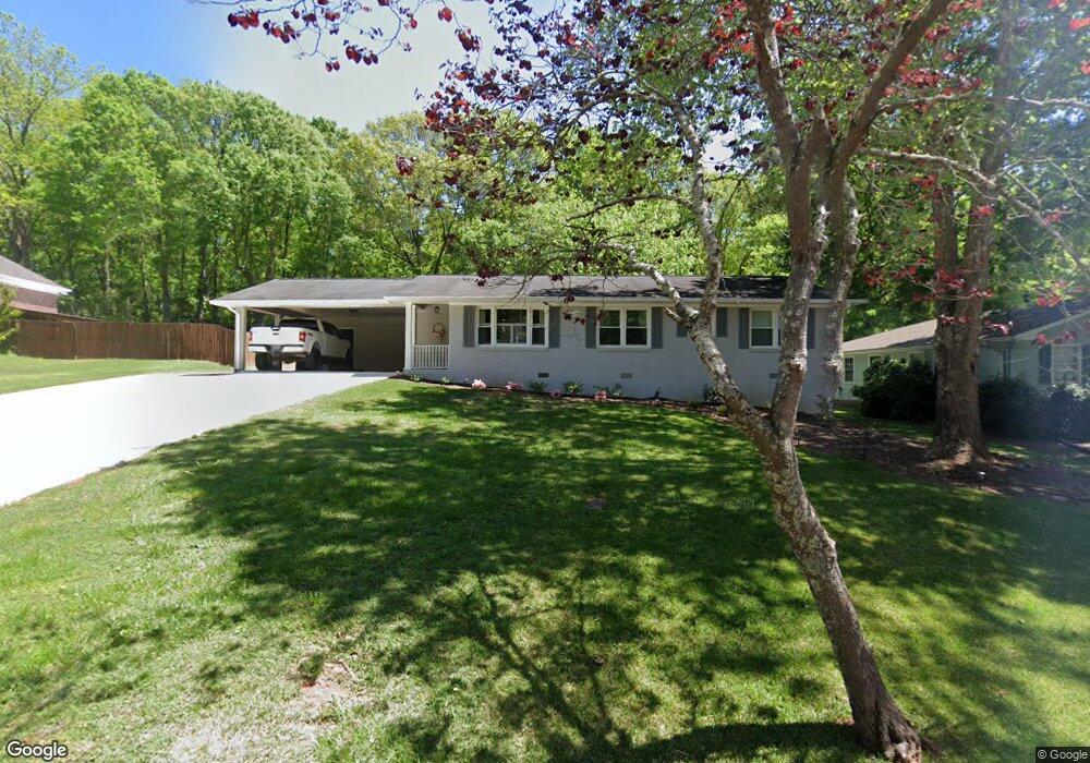
6152 Shamrock Dr NE Covington, GA 30014
Estimated Value: $261,633 - $339,000
--
Bed
2
Baths
1,595
Sq Ft
$185/Sq Ft
Est. Value
About This Home
This home is located at 6152 Shamrock Dr NE, Covington, GA 30014 and is currently estimated at $294,408, approximately $184 per square foot. 6152 Shamrock Dr NE is a home located in Newton County with nearby schools including East Newton Elementary School, Cousins Middle School, and Eastside High School.
Ownership History
Date
Name
Owned For
Owner Type
Purchase Details
Closed on
Nov 20, 2018
Sold by
Kinard Erin Coady
Bought by
Ransom Mike and Ransom Tracy
Current Estimated Value
Home Financials for this Owner
Home Financials are based on the most recent Mortgage that was taken out on this home.
Original Mortgage
$152,000
Outstanding Balance
$132,279
Interest Rate
4.8%
Mortgage Type
New Conventional
Estimated Equity
$162,129
Purchase Details
Closed on
Jan 31, 2008
Sold by
Jones Yvonne
Bought by
Coady Erin E
Home Financials for this Owner
Home Financials are based on the most recent Mortgage that was taken out on this home.
Original Mortgage
$128,346
Interest Rate
6.17%
Mortgage Type
FHA
Create a Home Valuation Report for This Property
The Home Valuation Report is an in-depth analysis detailing your home's value as well as a comparison with similar homes in the area
Home Values in the Area
Average Home Value in this Area
Purchase History
| Date | Buyer | Sale Price | Title Company |
|---|---|---|---|
| Ransom Mike | $160,000 | -- | |
| Coady Erin E | $129,400 | -- |
Source: Public Records
Mortgage History
| Date | Status | Borrower | Loan Amount |
|---|---|---|---|
| Open | Ransom Mike | $152,000 | |
| Previous Owner | Coady Erin E | $128,346 |
Source: Public Records
Tax History Compared to Growth
Tax History
| Year | Tax Paid | Tax Assessment Tax Assessment Total Assessment is a certain percentage of the fair market value that is determined by local assessors to be the total taxable value of land and additions on the property. | Land | Improvement |
|---|---|---|---|---|
| 2024 | $2,829 | $98,840 | $17,600 | $81,240 |
| 2023 | $2,775 | $90,560 | $17,600 | $72,960 |
| 2022 | $2,451 | $78,640 | $17,600 | $61,040 |
| 2021 | $2,339 | $67,640 | $16,000 | $51,640 |
| 2020 | $2,417 | $63,880 | $16,000 | $47,880 |
| 2019 | $2,411 | $62,600 | $16,000 | $46,600 |
| 2018 | $1,743 | $45,680 | $12,800 | $32,880 |
| 2017 | $1,701 | $44,640 | $12,800 | $31,840 |
| 2016 | $1,520 | $40,240 | $12,800 | $27,440 |
| 2015 | $1,505 | $39,840 | $12,800 | $27,040 |
| 2014 | $1,507 | $39,840 | $0 | $0 |
Source: Public Records
Map
Nearby Homes
- 6104 Floyd St NE
- 6127 Floyd St NE
- 5139 West Dr NE
- 5118 Floyd St NE
- 5130 N Dearing St NE
- 10630 Highway 278 NE
- 4181 A&B Floyd St NE
- 7128 Honeysuckle Ct SE
- 4128 Elizabeth St NE
- 4105 Rose Ln NE
- 4217 Elizabeth St NE
- 6203 Crestview Dr SE
- 0 Highway 278 NE Unit 10595588
- 13238 Tolstoy
- 5150 Wheat St NE
- 3127 Mill St SE
- 6193 Collins St NE
- 6192 Collins St NE
- 4187 Cherry Laurel Dr SE
- 3149 Thompson Ave SE
- 6144 Shamrock Dr NE
- 6160 Ramsey Dr SE
- 6157 Shamrock Dr NE
- 6147 Shamrock Dr NE
- 6150 Ramsey Dr SE
- 6165 Shamrock Dr NE
- 6129 Shamrock Dr NE
- 0 Shamrock Dr NE Unit 7315516
- 0 Shamrock Dr NE Unit 3274328
- 6142 Ramsey Dr SE
- 6117 Shamrock Dr NE
- 6158 Floyd St NE
- 6110 Shamrock Dr NE
- 6176 Floyd St NE
- 6146 Floyd St NE
- 6107 Shamrock Dr NE
- 6124 Floyd St NE
- 6134 Floyd St NE
- 0 Martin St SE Unit 8710251
- 0 Martin St SE Unit 8445526