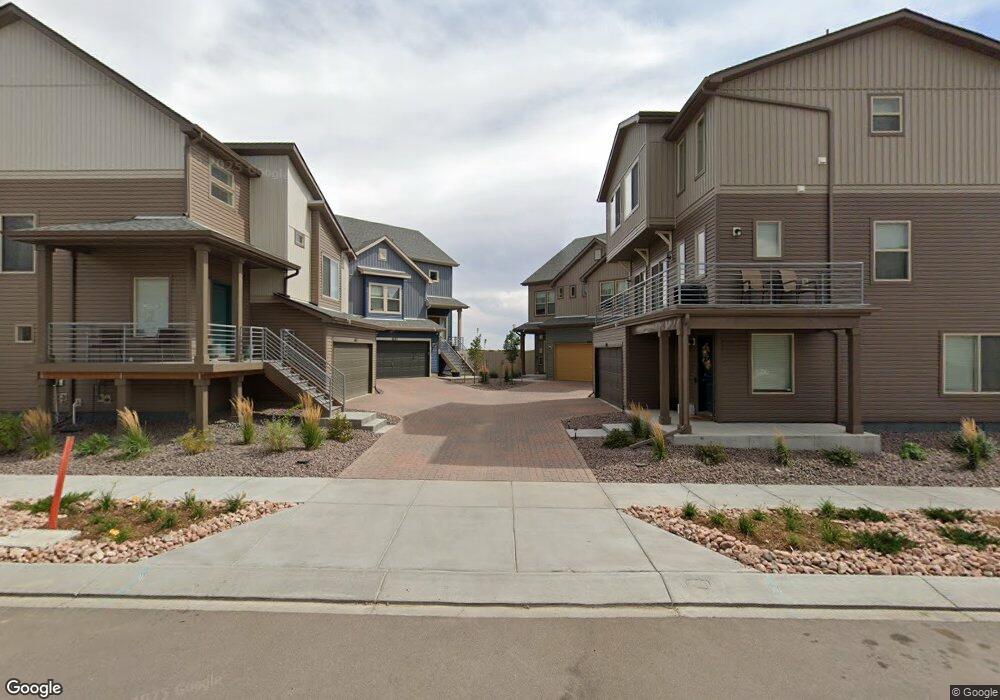
6153 Ashmore Ln Colorado Springs, CO 80927
Banning Lewis Ranch NeighborhoodEstimated Value: $429,556 - $492,000
3
Beds
3
Baths
2,008
Sq Ft
$230/Sq Ft
Est. Value
About This Home
This home is located at 6153 Ashmore Ln, Colorado Springs, CO 80927 and is currently estimated at $461,889, approximately $230 per square foot. 6153 Ashmore Ln is a home located in El Paso County with nearby schools including Stetson Elementary School, Falcon Middle School, and Sand Creek High School.
Ownership History
Date
Name
Owned For
Owner Type
Purchase Details
Closed on
Dec 20, 2021
Sold by
Proctor Chara H
Bought by
Flerro Elias
Current Estimated Value
Home Financials for this Owner
Home Financials are based on the most recent Mortgage that was taken out on this home.
Original Mortgage
$360,000
Outstanding Balance
$330,525
Interest Rate
2.98%
Mortgage Type
New Conventional
Estimated Equity
$131,364
Purchase Details
Closed on
Oct 23, 2020
Sold by
Clayton Properties Group Ii Inc
Bought by
Proctor Chara H
Home Financials for this Owner
Home Financials are based on the most recent Mortgage that was taken out on this home.
Original Mortgage
$261,228
Interest Rate
2.8%
Mortgage Type
New Conventional
Create a Home Valuation Report for This Property
The Home Valuation Report is an in-depth analysis detailing your home's value as well as a comparison with similar homes in the area
Home Values in the Area
Average Home Value in this Area
Purchase History
| Date | Buyer | Sale Price | Title Company |
|---|---|---|---|
| Flerro Elias | $450,000 | First American Title | |
| Proctor Chara H | $326,536 | None Available |
Source: Public Records
Mortgage History
| Date | Status | Borrower | Loan Amount |
|---|---|---|---|
| Open | Flerro Elias | $360,000 | |
| Previous Owner | Proctor Chara H | $261,228 |
Source: Public Records
Tax History Compared to Growth
Tax History
| Year | Tax Paid | Tax Assessment Tax Assessment Total Assessment is a certain percentage of the fair market value that is determined by local assessors to be the total taxable value of land and additions on the property. | Land | Improvement |
|---|---|---|---|---|
| 2025 | $3,615 | $28,990 | -- | -- |
| 2024 | $3,510 | $29,860 | $5,110 | $24,750 |
| 2023 | $3,510 | $29,860 | $5,110 | $24,750 |
| 2022 | $2,783 | $22,030 | $4,450 | $17,580 |
| 2021 | $2,853 | $22,670 | $4,580 | $18,090 |
| 2020 | $958 | $7,570 | $7,570 | $0 |
| 2019 | $37 | $290 | $290 | $0 |
Source: Public Records
Map
Nearby Homes
- 6129 Callan Dr
- 6207 Kildare Dr
- 9285 Birr Ct
- 6053 Callan Dr
- 9328 Twin Sisters Dr
- 9324 Twin Sisters Dr
- 9332 Twin Sisters Dr
- 9336 Twin Sisters Dr
- 9340 Twin Sisters Dr
- 9344 Twin Sisters Dr
- 9356 Twin Sisters Dr
- 5935 Longford Way
- 9360 Twin Sisters Dr
- 9348 Twin Sisters Dr
- 9368 Twin Sisters Dr
- 5916 Longford Way
- 5817 Carrick Ln
- 5936 Callan Dr
- 9372 Brodhead Point
- 5843 Uptop Point
- 6149 Ashmore Ln
- 6145 Ashmore Ln
- 6165 Ashmore Ln
- 6157 Ashmore Ln
- 6137 Ashmore Ln
- 9396 Arklow Way
- 6161 Ashmore Ln
- 9390 Arklow Way
- 6129 Ashmore Ln
- 6133 Ashmore Ln
- 6173 Ashmore Ln
- 6169 Ashmore Ln
- 9395 Arklow Way
- 9384 Arklow Way
- 6149 Callan Dr
- 9378 Arklow Way
- 9389 Arklow Way
- 9377 Arklow Way
- 6121 Ashmore Ln
- 6125 Ashmore Ln