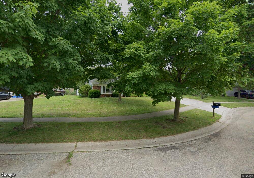
6153 Barker Cir Waterford, MI 48329
Waterford Township NeighborhoodEstimated Value: $322,000 - $336,000
4
Beds
3
Baths
1,945
Sq Ft
$169/Sq Ft
Est. Value
About This Home
This home is located at 6153 Barker Cir, Waterford, MI 48329 and is currently estimated at $328,742, approximately $169 per square foot. 6153 Barker Cir is a home located in Oakland County with nearby schools including Cooley Elementary School, Pierce Middle School, and Waterford Kettering High School.
Ownership History
Date
Name
Owned For
Owner Type
Purchase Details
Closed on
Sep 19, 2003
Sold by
Drohan Terry G and Drohan Joann G
Bought by
Lockshaw Barbara Secan
Current Estimated Value
Purchase Details
Closed on
May 15, 1996
Sold by
Iwanski James R
Bought by
Drohan Terry G
Home Financials for this Owner
Home Financials are based on the most recent Mortgage that was taken out on this home.
Original Mortgage
$113,599
Interest Rate
7.86%
Create a Home Valuation Report for This Property
The Home Valuation Report is an in-depth analysis detailing your home's value as well as a comparison with similar homes in the area
Home Values in the Area
Average Home Value in this Area
Purchase History
| Date | Buyer | Sale Price | Title Company |
|---|---|---|---|
| Lockshaw Barbara Secan | $174,500 | Metropolitan Title Company | |
| Drohan Terry G | $114,500 | -- |
Source: Public Records
Mortgage History
| Date | Status | Borrower | Loan Amount |
|---|---|---|---|
| Previous Owner | Drohan Terry G | $113,599 |
Source: Public Records
Tax History Compared to Growth
Tax History
| Year | Tax Paid | Tax Assessment Tax Assessment Total Assessment is a certain percentage of the fair market value that is determined by local assessors to be the total taxable value of land and additions on the property. | Land | Improvement |
|---|---|---|---|---|
| 2024 | $1,634 | $140,700 | $0 | $0 |
| 2023 | $1,559 | $127,390 | $0 | $0 |
| 2022 | $2,574 | $119,430 | $0 | $0 |
| 2021 | $2,439 | $115,520 | $0 | $0 |
| 2020 | $1,427 | $110,110 | $0 | $0 |
| 2019 | $2,384 | $100,290 | $0 | $0 |
| 2018 | $2,434 | $89,390 | $0 | $0 |
| 2017 | $2,243 | $89,390 | $0 | $0 |
| 2016 | $2,239 | $83,090 | $0 | $0 |
| 2015 | -- | $78,270 | $0 | $0 |
| 2014 | -- | $67,490 | $0 | $0 |
| 2011 | -- | $58,860 | $0 | $0 |
Source: Public Records
Map
Nearby Homes
- 6157 Barker Cir
- 2899 Airport Rd
- 6194 Wilson Dr
- 3077 Nanwich Dr
- 6350 Elmwood Dr
- 5914 Pleasant Dr
- 6366 Dellwood Dr
- 6175 Hatchery Rd
- 2615 Compton Dr
- 2739 Moosewood Dr Unit 50
- 6511 Crest Dr
- 2929 Birchwood Dr Unit 97
- 6376 Lanman Dr
- 6015 Rowley Blvd
- 6625 Lanman Dr
- 5620 Hatchery Rd
- 6426 Williams Lake Rd
- 6275 Williams Lake Rd
- 6215 Williams Lake Rd
- 2342 Ellery Ave
- 6149 Barker Cir
- 6145 Barker Dr
- 6137 Barker Dr
- 6105 Barker Dr
- 6131 Barker Dr
- 6165 Barker Cir
- 6177 Barker Cir
- 6097 Barker Dr
- 6181 Barker Cir
- 6111 Barker Dr
- 6093 Barker Dr
- 6189 Barker Dr
- 6173 Barker Cir
- 6091 Barker Dr
- 2709 Campbellgate Dr
- 6142 Barker Dr
- 2703 Campbellgate Dr
- 6138 Barker Dr
- 6160 Barker Dr
- 2715 Campbellgate Dr