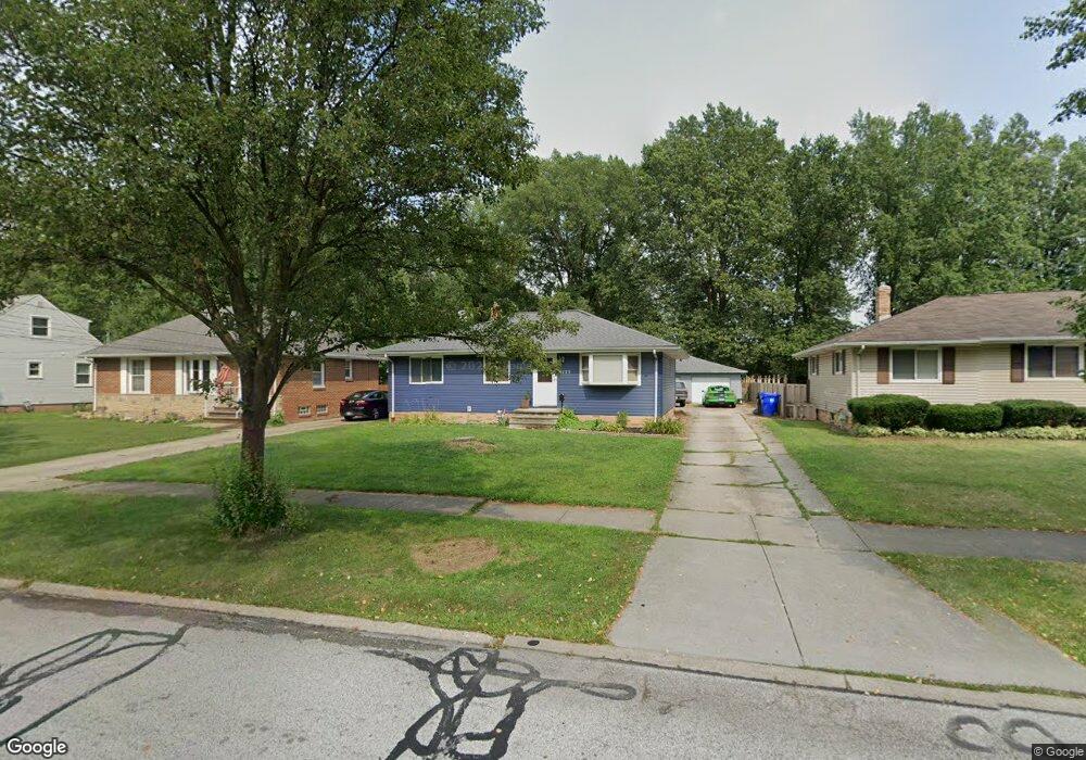
6153 Eavenson Rd Brookpark, OH 44142
Estimated Value: $202,557 - $225,000
3
Beds
1
Bath
1,064
Sq Ft
$201/Sq Ft
Est. Value
About This Home
This home is located at 6153 Eavenson Rd, Brookpark, OH 44142 and is currently estimated at $214,389, approximately $201 per square foot. 6153 Eavenson Rd is a home located in Cuyahoga County with nearby schools including Berea-Midpark Middle School, Berea-Midpark High School, and Huber Heights Preparatory Academy Parma Academy.
Ownership History
Date
Name
Owned For
Owner Type
Purchase Details
Closed on
Jul 15, 2025
Sold by
Albright William D and Albright Linda A
Bought by
Albright Family Trust and Albright
Current Estimated Value
Purchase Details
Closed on
Jul 22, 1999
Sold by
Albright Ruth
Bought by
Albright William D
Purchase Details
Closed on
Jun 1, 1987
Sold by
Swarm Sharon E
Bought by
Conrad Terrence G
Purchase Details
Closed on
Apr 3, 1985
Sold by
Olwert Sharon E
Bought by
Swarm Sharon E
Purchase Details
Closed on
Jan 1, 1975
Bought by
Olwert Sharon E
Create a Home Valuation Report for This Property
The Home Valuation Report is an in-depth analysis detailing your home's value as well as a comparison with similar homes in the area
Home Values in the Area
Average Home Value in this Area
Purchase History
| Date | Buyer | Sale Price | Title Company |
|---|---|---|---|
| Albright Family Trust | -- | Ohio Real Title | |
| Albright William D | -- | -- | |
| Conrad Terrence G | $68,900 | -- | |
| Swarm Sharon E | -- | -- | |
| Olwert Sharon E | -- | -- |
Source: Public Records
Tax History
| Year | Tax Paid | Tax Assessment Tax Assessment Total Assessment is a certain percentage of the fair market value that is determined by local assessors to be the total taxable value of land and additions on the property. | Land | Improvement |
|---|---|---|---|---|
| 2024 | $2,968 | $58,835 | $13,405 | $45,430 |
| 2023 | $3,162 | $51,910 | $11,550 | $40,360 |
| 2022 | $3,140 | $51,910 | $11,550 | $40,360 |
| 2021 | $3,121 | $51,910 | $11,550 | $40,360 |
| 2020 | $2,814 | $41,200 | $9,170 | $32,030 |
| 2019 | $2,730 | $117,700 | $26,200 | $91,500 |
| 2018 | $2,719 | $41,200 | $9,170 | $32,030 |
| 2017 | $2,626 | $36,750 | $7,910 | $28,840 |
| 2016 | $2,604 | $36,750 | $7,910 | $28,840 |
| 2015 | $2,572 | $36,750 | $7,910 | $28,840 |
| 2014 | $2,572 | $38,680 | $8,330 | $30,350 |
Source: Public Records
Map
Nearby Homes
- 6213 Siegler Dr
- 6016 Gilmere Dr
- 6490 Grosse Dr
- 6728 Benedict Dr
- 6330 Ledgebrook Dr
- 16159 Bowfin Blvd
- 5952 Delores Blvd
- 6377 Ledgebrook Dr
- 6330 Sandfield Dr
- 6386 Sandfield Dr
- 16379 Hummel Rd
- 6748 Benedict Dr
- 6752 Benedict Dr
- 6720 Benedict Dr
- 6744 Benedict Dr
- 6724 Benedict Dr
- 15424 Holland Rd
- 6707 Woodruff Ct
- 6749 Rockridge Ct
- 6689 Fry Rd
- 6143 Eavenson Rd
- 6159 Eavenson Rd
- 6133 Eavenson Rd
- 6163 Eavenson Rd
- 17840 Engle Ct
- 6173 Eavenson Rd
- 17850 Engle Ct
- 6123 Eavenson Rd
- 17861 Engle Ct
- 17830 Engle Ct
- 6152 Eavenson Rd
- 6183 Eavenson Rd
- 6158 Eavenson Rd
- 6142 Eavenson Rd
- 6162 Eavenson Rd
- 6132 Eavenson Rd
- 17820 Engle Ct
- 6172 Eavenson Rd
- 17841 Engle Ct
- 6122 Eavenson Rd
Your Personal Tour Guide
Ask me questions while you tour the home.