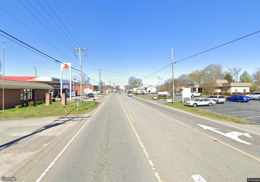
6153 Highway 150 E Denver, NC 28037
Estimated Value: $407,000 - $707,000
3
Beds
2
Baths
2,274
Sq Ft
$216/Sq Ft
Est. Value
About This Home
This home is located at 6153 Highway 150 E, Denver, NC 28037 and is currently estimated at $491,242, approximately $216 per square foot. 6153 Highway 150 E is a home located in Catawba County with nearby schools including Balls Creek Elementary School, Bandys High School, and Mill Creek Middle School.
Ownership History
Date
Name
Owned For
Owner Type
Purchase Details
Closed on
Feb 15, 2019
Sold by
Bolick Brouxie Allen
Bought by
Bolick Christy Jones
Current Estimated Value
Home Financials for this Owner
Home Financials are based on the most recent Mortgage that was taken out on this home.
Original Mortgage
$168,750
Outstanding Balance
$148,361
Interest Rate
4.5%
Mortgage Type
New Conventional
Estimated Equity
$342,881
Create a Home Valuation Report for This Property
The Home Valuation Report is an in-depth analysis detailing your home's value as well as a comparison with similar homes in the area
Home Values in the Area
Average Home Value in this Area
Purchase History
| Date | Buyer | Sale Price | Title Company |
|---|---|---|---|
| Bolick Christy Jones | $225,000 | None Available |
Source: Public Records
Mortgage History
| Date | Status | Borrower | Loan Amount |
|---|---|---|---|
| Open | Bolick Christy Jones | $168,750 |
Source: Public Records
Tax History Compared to Growth
Tax History
| Year | Tax Paid | Tax Assessment Tax Assessment Total Assessment is a certain percentage of the fair market value that is determined by local assessors to be the total taxable value of land and additions on the property. | Land | Improvement |
|---|---|---|---|---|
| 2025 | $1,775 | $360,400 | $52,400 | $308,000 |
| 2024 | $1,775 | $360,400 | $52,400 | $308,000 |
| 2023 | $1,739 | $158,300 | $26,400 | $131,900 |
| 2022 | $1,116 | $158,300 | $26,400 | $131,900 |
| 2021 | $1,116 | $158,300 | $26,400 | $131,900 |
| 2020 | $1,116 | $158,300 | $26,400 | $131,900 |
| 2019 | $1,116 | $158,300 | $0 | $0 |
| 2018 | $669 | $180,300 | $25,500 | $154,800 |
| 2017 | $669 | $0 | $0 | $0 |
| 2016 | $669 | $0 | $0 | $0 |
| 2015 | $657 | $180,300 | $25,500 | $154,800 |
| 2014 | $657 | $201,000 | $28,700 | $172,300 |
Source: Public Records
Map
Nearby Homes
- 5946 E Nc 150 Hwy
- 6581 Emerald Isle Dr
- 6554 Emerald Isle Dr Unit 2
- 6554 Emerald Isle Dr
- 5846 Oak Branch Cir
- 6454 Fairfax Ct
- 00 Mccorkle Ln
- 4363 Shimmering Stone Way
- 6813 Navajo Trail
- 0000 None
- 6718 Emerald Isle Dr
- 6298 Fairfax Ct
- 4362 Shimmering Stone Way
- 4532 Stellata Loop
- 6361 Fairfax Ct
- 6601 Love Point Rd
- 4714 & 4722 Lazy Ln
- 6778 Emerald Isle Dr
- 6712 Cove Ln
- 6719 Love Point Rd
- 6169 Highway 150 E
- 6119 Highway 150 E
- 6169 E Nc 150 Hwy
- 6169 E Nc 150 Hwy Unit 1
- 6052 Highway 150 E
- 6022 Highway 150 E
- 6026 Highway 150 E
- 6146 E Nc Hwy 150 None
- 6164 Hwy 150 Hwy
- 6164 E Nc 150 Hwy
- 4439 Grassy Creek Rd
- 6099 Highway 150 E
- 4445 Grassy Creek Rd
- 4465 Grassy Creek Rd
- 6086 Highway 150 E
- 6465 Woodland Dr
- 4477 Grassy Creek Rd
- 4440 Grassy Creek Rd
- 6087 Highway 150 E
- 6221 Highway 150 E
