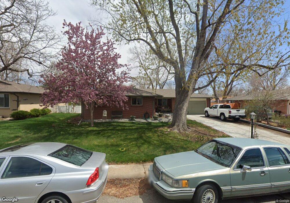
6158 Hoyt Ct Arvada, CO 80004
Alta Vista NeighborhoodEstimated Value: $577,000 - $642,000
3
Beds
3
Baths
1,613
Sq Ft
$376/Sq Ft
Est. Value
About This Home
This home is located at 6158 Hoyt Ct, Arvada, CO 80004 and is currently estimated at $607,031, approximately $376 per square foot. 6158 Hoyt Ct is a home located in Jefferson County with nearby schools including Lawrence Elementary School, Arvada K-8, and Arvada High School.
Ownership History
Date
Name
Owned For
Owner Type
Purchase Details
Closed on
Sep 21, 2023
Sold by
Bradley Philip B and Bradley Betty A
Bought by
Bradley Philip B and Bradley Elizabeth A
Current Estimated Value
Home Financials for this Owner
Home Financials are based on the most recent Mortgage that was taken out on this home.
Original Mortgage
$945,000
Outstanding Balance
$714,364
Interest Rate
9.2%
Mortgage Type
Reverse Mortgage Home Equity Conversion Mortgage
Estimated Equity
-$107,333
Purchase Details
Closed on
Oct 13, 2000
Sold by
Croonquist David A Croonquist Judy A
Bought by
Bradley Philip B and Bradley Betty A
Home Financials for this Owner
Home Financials are based on the most recent Mortgage that was taken out on this home.
Original Mortgage
$114,000
Interest Rate
7.96%
Create a Home Valuation Report for This Property
The Home Valuation Report is an in-depth analysis detailing your home's value as well as a comparison with similar homes in the area
Home Values in the Area
Average Home Value in this Area
Purchase History
| Date | Buyer | Sale Price | Title Company |
|---|---|---|---|
| Bradley Philip B | -- | First American Title | |
| Bradley Philip B | $194,000 | -- |
Source: Public Records
Mortgage History
| Date | Status | Borrower | Loan Amount |
|---|---|---|---|
| Open | Bradley Philip B | $945,000 | |
| Closed | Bradley Philip B | $945,000 | |
| Previous Owner | Bradley Philip B | $114,000 |
Source: Public Records
Tax History Compared to Growth
Tax History
| Year | Tax Paid | Tax Assessment Tax Assessment Total Assessment is a certain percentage of the fair market value that is determined by local assessors to be the total taxable value of land and additions on the property. | Land | Improvement |
|---|---|---|---|---|
| 2024 | $3,089 | $38,550 | $16,506 | $22,044 |
| 2023 | $3,089 | $38,550 | $16,506 | $22,044 |
| 2022 | $2,279 | $30,219 | $12,214 | $18,005 |
| 2021 | $2,316 | $31,088 | $12,565 | $18,523 |
| 2020 | $1,939 | $27,241 | $9,788 | $17,453 |
| 2019 | $1,913 | $27,241 | $9,788 | $17,453 |
| 2018 | $1,835 | $25,937 | $6,555 | $19,382 |
| 2017 | $1,679 | $25,937 | $6,555 | $19,382 |
| 2016 | $1,263 | $21,228 | $5,539 | $15,689 |
| 2015 | $991 | $21,228 | $5,539 | $15,689 |
| 2014 | $991 | $17,751 | $4,872 | $12,879 |
Source: Public Records
Map
Nearby Homes
- 6138 Iris Way
- 9487 W 58th Ave Unit B
- 6077 Flower St
- 9457 W 58th Ave Unit D
- 9457 W 58th Ave Unit B
- 9667 W 63rd Ave
- 9546 W 58th Ave Unit B
- 9175 Cole Dr
- Residence One Plan at Ralston Creek
- Residence Two Plan at Ralston Creek
- 9656 Rensselaer Dr
- 6009 Lee St
- 10211 W 59th Place
- 6371 Brooks Dr
- 5920 Estes Ct
- 6250 Everett Ct Unit E
- 6240 Everett Ct Unit F
- 10331 W 59th Ave
- 6114 Miller St
- 6200 Estes St